Log v Trenti - Velika Glava (Old military mule track on Velika Glava)
Starting point: Log v Trenti (607 m)
Starting point Lat/Lon: 46.37734°N 13.74952°E 
Path name: Old military mule track on Velika Glava
Time of walking: 4 h
Difficulty: partly demanding unmarked way
Difficulty of skiing: no data
Altitude difference: 1276 m
Altitude difference (by path): 1269 m
Map:
Access to starting point:
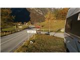
A: From the direction Bovec towards Vršič to Log in Trenta, where approx 200 meters before Log we turn for mountain pasture Planina Lepoča. Here we park in front of the gate.
b: From Ljubljana side to Kranjska Gora, where we turn for mountain pass Vršič and over there we descend to Log in Trenta. Only about 200 meters ahead we turn left towards the mountain pasture Planina Lepoča, where we park in front of the gate.
Path description:
At the gate for mountain pasture Planina Lepoča we park. We continue on the road to first signs for mountain hut Zasavska koča, where we turn left downwards over a small bridge of the stream Beladovec and further to the second crossing with the signpost for Zasavska koča na Prehodavcih, where we turn left upwards on a footpath. We continue past the last holiday cottage on a mule track towards the mountain pasture Lepoča and Trebiški dol. A little above the mountain pasture Lepoča, which is today a smaller plain vegetated with spruces, a path branches off left for mountain pasture Trebiščina. We have to be careful, that we don't miss, because there is no signpost. When we get to the decaying mountain pasture Trebiščina at the buildings we go left on a bad footpath the foot of the hill, where at the cairn we turn right uphill on a poorly visible footpath. The footpath (overgrown mule track) we follow slightly to the left to a steep pasture, where after the crossing by its left side we continue uphill, where we get to a little better visible mule track. We continue upwards through the forest, and slightly to the left, where we get to a steeper overgrown area, where the footpath because of avalanche vanishes, in spite of that we continue on traces of the footpath to the rock at the right corner, where we again get to a mule track. From here the footpath is relatively easy to follow. It slowly runs towards the left to the rocky area, which we cross without problems. From here runs the footpath uphill in zig-zags to the first remains of military buildings (most likely a stable). And soon after that a little below the summit we get to other military buildings. To the summit we get on a poorly visible footpath among dwarf pines from where a view opens up on Prehodavci and other surrounding hills. For easier orientation I recommend the use of GPS track. I recommend to return on a grassy slope into Trebiški dol.
The path isn't appropriate for normal mountaineers because it isn't marked and after all those years it is quite overgrown. It is appropriate for experienced mountaineers who like new paths and are experienced in orientation.
On the way: Planina Lepoča (1107m), Planina Trebiščina (1405m)
Pictures:
 1
1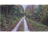 2
2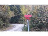 3
3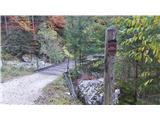 4
4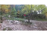 5
5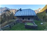 6
6 7
7 8
8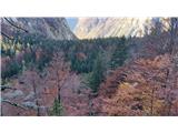 9
9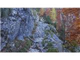 10
10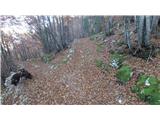 11
11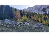 12
12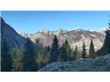 13
13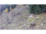 14
14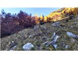 15
15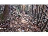 16
16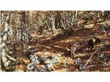 17
17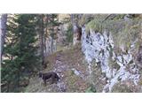 18
18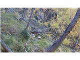 19
19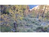 20
20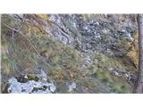 21
21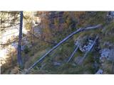 22
22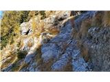 23
23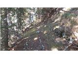 24
24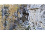 25
25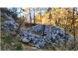 26
26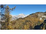 27
27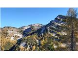 28
28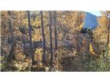 29
29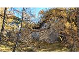 30
30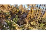 31
31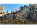 32
32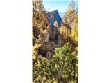 33
33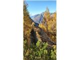 34
34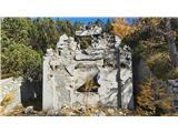 35
35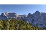 36
36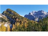 37
37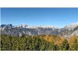 38
38 39
39