Lovnik - Sveti Mihael on Pečica (Lovnik - Sv. Mihael na Pečici - Sladka gora)
Starting point: Lovnik (348 m)
Path name: Lovnik - Sv. Mihael na Pečici - Sladka gora
Time of walking: 1 h
Difficulty: easy marked way
Difficulty of skiing: no data
Altitude difference: 152 m
Altitude difference (by path): 152 m
Map: Posavsko hribovje Boč - Bohor 1:50.000
Access to starting point:
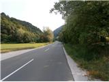
A) From the direction Ljubljana we leave the highway in Slovenske Konjice and through Žiče, Loče and Zbelovo drive to Poljčane. At the crossroad, we continue right in the direction of Zgornje Poljčane - Rogaška Slatina and somewhere after four kilometers through the valley of the stream Bela we reach the settlement Lovnik, where we park by the road
b) From the direction Maribor we leave the highway in Slovenska Bistrica, we continue towards Poljčane and through the center of Poljčane, where we further follow the upper description...
c) From the direction Rogaška Slatina, Šmarje pri Jelšah, Brežice... in the settlement Podplat at the larger traffic light crossroad we continue in the direction of Poljčane - Maribor, we reach known saddle Pečica and soon after this in a descent also the settlement Lovnik, where we park by the road.
Path description:
In the settlement Lovnik at the signposts at the vineyard farm Zorin we continue on a municipal road and by blazes of Mary's pilgrimage route and we the first time cross the stream. When we the second cross the stream, we go left on the forest road and we follow it all the way to the exit on an asphalt road through Pečica. We continue right and about after two hundred meters we reach an intermediate destination, the church of St. Mihael on Pečica.
After viewing the church, we return back to a crossroad and we continue with the help of the signs towards Sladka gora. After a good hundred meters, we go sharply right downwards (straight - Boč) and now the path is also the path Štajersko - Zagorska bratska pot. On the left by the path there is a smaller resting place with a source of water and a little further in a descent on the right by the path there is an interesting studio of the painter Jerič (partly outside). Next follows a continuation and in the final descent with homesteads by the path, we soon reach the settlement Sladka gora 327 meters with the church in the center of the settlement. The path is appropriate also for a mountain or trekking bike.
The total length of the path from Lovnik is around 4500 meters, 152 positive altitude meters and 173 negative altitude meters.
Pictures:
 1
1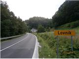 2
2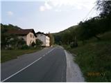 3
3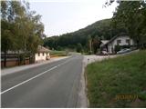 4
4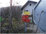 5
5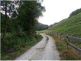 6
6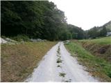 7
7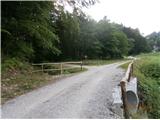 8
8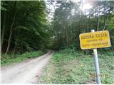 9
9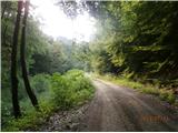 10
10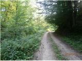 11
11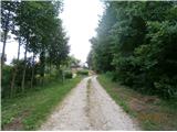 12
12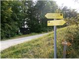 13
13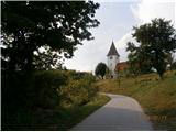 14
14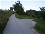 15
15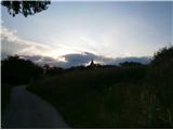 16
16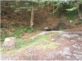 17
17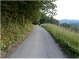 18
18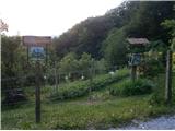 19
19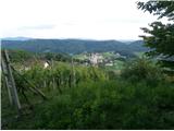 20
20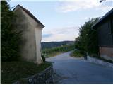 21
21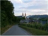 22
22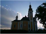 23
23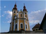 24
24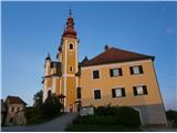 25
25