Lovska koča Muljava - Veliki Petrovac (Petrova gora) (Roman path)
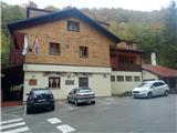
Starting point: Lovska koča Muljava (245 m)
Starting point Lat/Lon: 45.31782°N 15.77774°E 
Path name: Roman path
Time of walking: 50 min
Difficulty: easy marked way
Difficulty of skiing: no data
Altitude difference: 267 m
Altitude difference (by path): 267 m
Map:
Access to starting point:
A) Highway Zagreb-Split we leave at exit Karlovec / Karlovac. Through the town we follow the signs for Split and Slunj. After Karlovac we drive through Jelase, Vukmanički Cerovac and Tušilović. In the settlement Tušilović we turn left in the direction of the settlement Vojnić. When we come to Vojnić we will notice tourist signs for Hunting cottage Muljava, to which we get to after 10 minutes of additional driving. We park at the hunting cottage.
B) From Bela krajina over the border crossing Metlika we drive to Croatia, where we follow the signs for Karlovec / Karlovac, we then follow the description A.
Path description:
Our path starts between the hunting cottage Muljava and children's playground, where we notice the first captions and stairs. We go upwards and after a minute of walking, we get to resting place Zoranovac.
Here the path in long turn turns right towards the east and it brings us to the stream, which we soon cross over a small bridge. Next follows easier ascent through a thinner forest and after approximately 15 minutes of walking, we get to a wider forest road, on which we continue approximately 10 minutes. While walking on the road also the second path from Muljave joins.
After 10 minutes we go from the road right on a more muddy path, which is consequence of woodcutting (condition 2021). The path ahead becomes increasingly steep and leads us through some more overgrown parts. Higher, the path for some time flattens, and then again becomes steep and brings us on Veliki Petrovac, on which there is situated a huge monument, which is unfortunately abandoned.
Pictures:
 1
1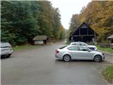 2
2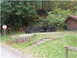 3
3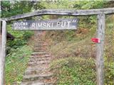 4
4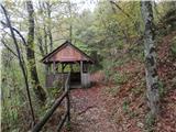 5
5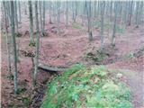 6
6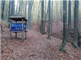 7
7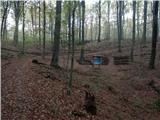 8
8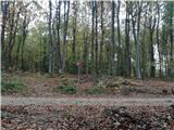 9
9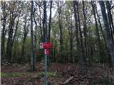 10
10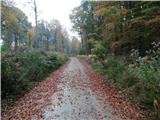 11
11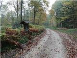 12
12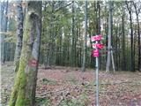 13
13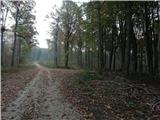 14
14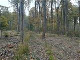 15
15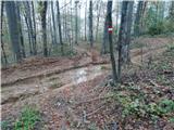 16
16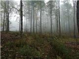 17
17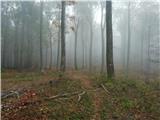 18
18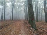 19
19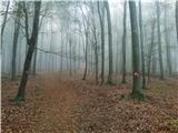 20
20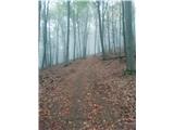 21
21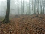 22
22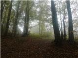 23
23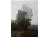 24
24