Starting point: Makoše (480 m)
Walking time: 3 h
Difficulty: easy marked way
Elevation gain: 484 m
Elevation difference along the route: 484 m
Map:
Recommended equipment (summer):
Recommended equipment (winter):
Views: 649
 | 0 people like this post |
Access to starting point:
.
Route description:
......From the crossroad, we continue right in the direction of St. Ana (sharply left - Ribnica) and ascend diagonally towards the right. We still walk on the road for a few minutes, then at the visible widening of the road, still before the crossroad where there is a shrine, we continue sharply left onto a marked cart track which starts ascending through the forest. Through the forest, we follow the blazes and first ascend on an occasionally more overgrown footpath. There follows a short descent, where we get very close to the road, then some ten meters further we join the cart track which branches off from the road and starts to ascend more steeply. We ascend on the mentioned cart track for a few minutes, then just a little before we step out of the forest and arrive at the church of St. Ana, we continue right downwards onto a marked path which crosses the slopes towards the right. After a short descent we step onto another cart track, along which we then arrive at the end of the previously mentioned macadam road (to here also possible by road).
From the end of the road, we continue slightly left on a marked footpath (not on the cart track, although we can also continue on it), which climbs to an indistinct ridge, where the path from Podtabor joins us. The path then leads us across an overgrown meadow, returns to the forest and starts to ascend relatively steeply. Higher up we arrive at a marked junction, where we continue straight upwards (left - Koča pri sv. Ani, right - Grmada and viewpoint) along the path, by which in one more minute of walking we arrive at the top.

Photos:
 1
1 2
2 3
3 4
4 5
5 6
6 7
7 8
8 9
9 10
10 11
11 12
12 13
13 14
14 15
15 16
16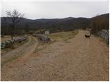 17
17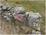 18
18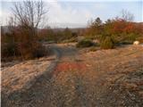 19
19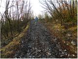 20
20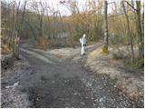 21
21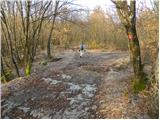 22
22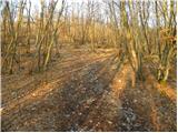 23
23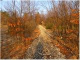 24
24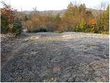 25
25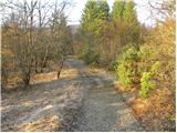 26
26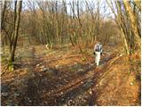 27
27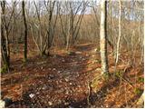 28
28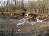 29
29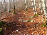 30
30 31
31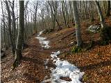 32
32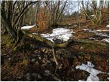 33
33 34
34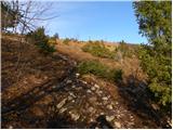 35
35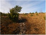 36
36 37
37 38
38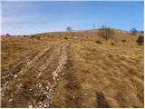 39
39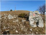 40
40 41
41 42
42 43
43 44
44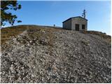 45
45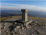 46
46 47
47
Discussion about the trip Makoše - Stene svete Ane
To post a comment you must log in:
If you do not yet have a username, you must first
register.