Masna Luka - Veliki Vilinac (mimo Pločnega in koče Vilinac)
Starting point: Masna Luka (1200 m)
Starting point Lat/Lon: 43.63132°N 17.54613°E 
Path name: mimo Pločnega in koče Vilinac
Time of walking: 6 h 45 min
Difficulty: easy marked way
Difficulty of skiing: no data
Altitude difference: 912 m
Altitude difference (by path): 1400 m
Map:
Access to starting point:
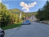
a) Drive to Posušje (from Imotski to here via the border crossing Vinjani Gornji - Osoje), then continue driving towards Jablanica. The road ascends crosswise onto the plateau. Drive through Vrpolje, after it the road climbs to a larger valley with the large Blidinje lake. Drive along the mentioned lake and soon after notice signs for Masna Luka, where turn right. Follow signs for Masna Luka and drive past the large alpine hut Masna Luka, shortly after arrive at the large parking lot in front of the Franciscan hut and church of Sveti Ilija.
b) Drive to Tomislavgrad and continue driving towards Blidinje. The road leads through the valley and then climbs and descends all the way to Blidinje lake. Drive along the mentioned lake for a short time and soon after notice signs for Masna Luka, turn right there. Follow signs for Masna Luka and drive past the large alpine hut Masna Luka, shortly after arrive at the large parking lot in front of the Franciscan hut and church of Sveti Ilija.
c) From Sarajevo drive through Konjic and along the Neretva to Jablanica, where in the town centre turn left towards Posušje. The road ascends to a larger valley. When reaching the turn-off for the tourist settlement Risovac, pay attention as we will soon turn left towards Masna Luka. Follow signs for Masna Luka and drive past the large alpine hut Masna Luka, shortly after arrive at the large parking lot in front of the Franciscan hut and church of Sveti Ilija.
Path description:
At the parking lot, head towards the larger building, where a path branches right leading to Pločno. A little further left is the direct path to Veliki Vilinac. Initially there are some steps, followed by a short ascent onto a logging trail that turns left. Walk above the mentioned Franciscan hut and enter the forest. The logging trail turns into a path that begins to ascend. After about 20 minutes of ascent, the path levels out and begins to gently descend onto a poor cart track. Continue left. The cart track leads from the alpine hut Masna Luka towards Blidinje lake. The road descends quite steeply in places, when it levels, signs direct us slightly left onto the path. The sign "Pločno 4h" further directs us onto the path, which initially leads past larger screes. The path leads through the forest and ascends, sometimes more gently and sometimes steeper. After about 45 minutes of ascent, the forest begins to thin and is gradually replaced by lower shrubbery and dwarf pines. The serpentine path leads below the walls of Čužićev Kuk. The path then turns left and there is a memorial plaque along the path. Here beautiful views open up to the nearby Vran planina. The path still ascends through the dwarf pines. When we reach a small edge, the path begins to descend into a small cirque, after which it becomes somewhat more scree-covered. After a short ascent, the path descends again and the direct path from the starting point joins us almost imperceptibly from the left. Continue along the right side of a small valley. On the left we see Juneći Kuk. The path brings us to a larger pass between Juneći Kuk and an unnamed peak located below the cliffs of Pločno. Then about half an hour of up and down walking through the valley awaits us, then we reach a junction where the path to Pločno branches right, straight ahead towards Veliki Vilinac.
Continue in this direction. The path leads across a small plain, then begins to descend gently. The path is still scree-covered here, then grass replaces it. The path descends and ascends, crossing a larger number of small cirques. We see Veliki Vilinac ahead all the time. The path mostly runs through dwarf pines. After about 1.5 hours of such path, we reach a marked junction where the path to Peštibrdo branches right, we continue slightly left towards Vilinac. The path is grassy and crosses above a cirque, then at the signpost turns steeply down to the bottom of the grassy cirque, from where the path begins to ascend steeply and returns among the dwarf pines. Then the path becomes level and crosses the southern slopes of the nearby peak Gargaš and the slopes of Veliki Vilinac. In between, a path to Veliki Kuk branches right, located above the famous vertical wall. After the junction, we cross for a while longer, then begin to ascend towards the hut. The path enters a narrower valley, where a path to a nearby spring with drinking water branches right. 5 minutes of ascent separate us from the hut, and we are at the alpine hut Vilinac, from where a nice view opens to the south.
Continue past the hut and in 5 minutes of steep ascent we are at a marked junction, where we continue left towards Veliki Vilinac. The sign shows another 1h, realistically about half an hour. Straight ahead leads to Hajdučke vrata, Drinači / Trinjači and Kutlenica. The path steeply ascends through dwarf pines onto a wide grassy ridge. Then the path gently descends and ascends along the grassy slope, partly overgrown with dwarf pines, to the subpeak. 5 minutes of ascent on rocky terrain separate us from the summit. From the summit, which has a logbook box and a cairn, a magnificent view opens in all directions, where nearby Pločno stands out.
Descend via the direct path past Mali Vilinac, which is 2h shorter.
Description and photos refer to the state in August 2025.
Pictures:
 1
1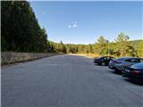 2
2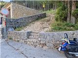 3
3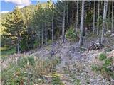 4
4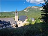 5
5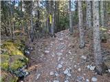 6
6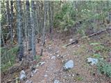 7
7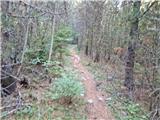 8
8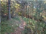 9
9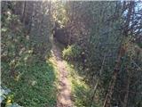 10
10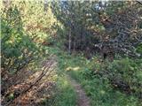 11
11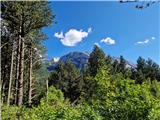 12
12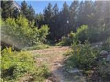 13
13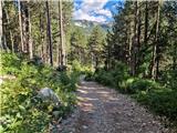 14
14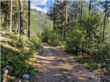 15
15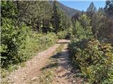 16
16 17
17 18
18 19
19 20
20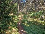 21
21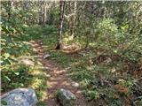 22
22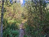 23
23 24
24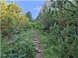 25
25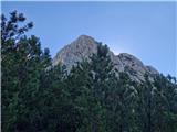 26
26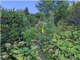 27
27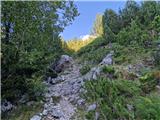 28
28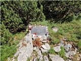 29
29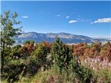 30
30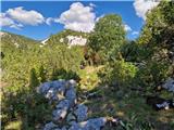 31
31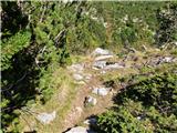 32
32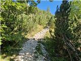 33
33 34
34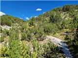 35
35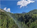 36
36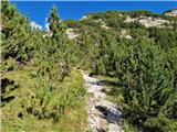 37
37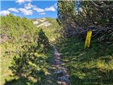 38
38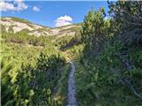 39
39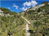 40
40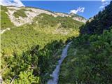 41
41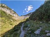 42
42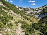 43
43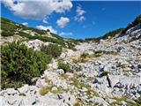 44
44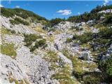 45
45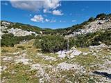 46
46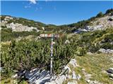 47
47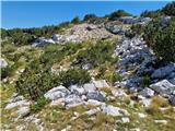 48
48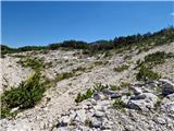 49
49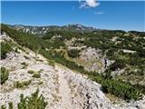 50
50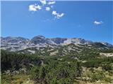 51
51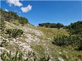 52
52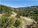 53
53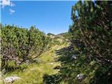 54
54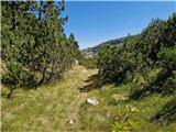 55
55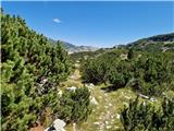 56
56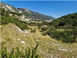 57
57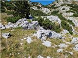 58
58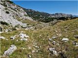 59
59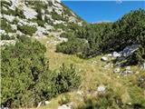 60
60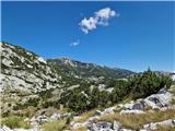 61
61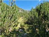 62
62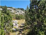 63
63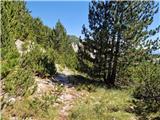 64
64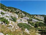 65
65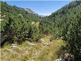 66
66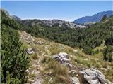 67
67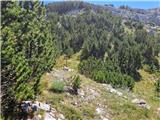 68
68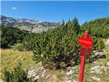 69
69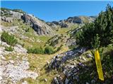 70
70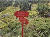 71
71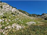 72
72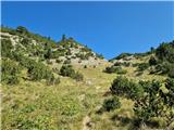 73
73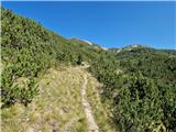 74
74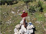 75
75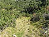 76
76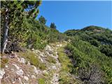 77
77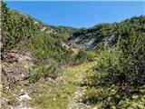 78
78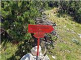 79
79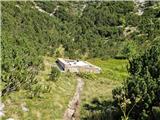 80
80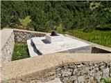 81
81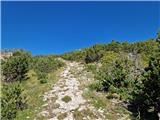 82
82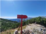 83
83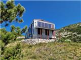 84
84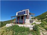 85
85 86
86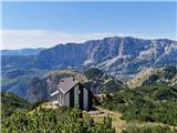 87
87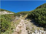 88
88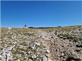 89
89 90
90 91
91 92
92 93
93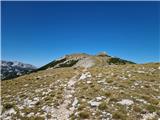 94
94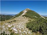 95
95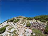 96
96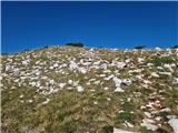 97
97 98
98 99
99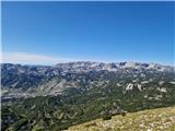 100
100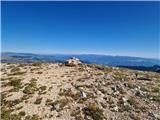 101
101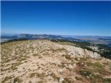 102
102