Medvedova konta - Debela peč (via Kotel and on old path)
Starting point: Medvedova konta (1410 m)
Starting point Lat/Lon: 46.3748°N 13.9409°E 
Path name: via Kotel and on old path
Time of walking: 2 h 10 min
Difficulty: easy pathless terrain, easy marked way
Difficulty of skiing: no data
Altitude difference: 604 m
Altitude difference (by path): 645 m
Map: TNP 1:50.000
Access to starting point:
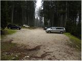
From highway Ljubljana - Jesenice we go to the exit Lesce and we follow the road in the direction of Bled, there in traffic lights crossroad signs for Pokljuka point us to the right. This road which in the lower part runs through few villages and later starts ascending steeper we follow to Mrzli Studenec (mountain pasture, which is located good 50 meters behid the crossroad, where left downwards road to Bohinj branches off). In the middle of the mentioned mountain pasture from the main road, the road which runs to Medvedova konta, Pri Rupah and mountain pasture Zajavornik branches off to the right. Here we turn right and we follow the road to the next crossroad, where we continue right in the direction of Medvedova konta (straight mountain pasture Zajavornik). The road ahead after a short ascent descends and it brings us to the next crossing, where we continue left in the direction of the mountain hut Blejska koča. We follow this road to the parking lot in front of a gate, further driving is forbidden.
In the winter time, the road to described starting point usually isn't accessible.
Path description:
From the parking lot, we continue on a wide cart track in the direction of the mountain hut Blejska koča na Lipanci. On a wide cart track, over which there is a gate, we walk to the first left turn. At the mentioned turn we leave the cart track and we continue straight through the forest, where we follow a worse footpath, on which in less than 5 minutes we get to the end of the nearby forest road. We reach the road at the turning point, which is very similar some sort of roundabout. In circle we go clockwise, and we walk on the road to the nearby cart track which from the road branches off to the left (cart track is located few meters before we step out from a circle). We go on the mentioned cart track, and it continues on the left side of the nearby Kotel (Kotel is larger, mostly unvegetated sinkhole in the middle of forests, in which cold air is kept). Cart track, which is barely noticeably descending soon ends, and we continue in approximately same direction.
Further, we walk on pathless terrain, only occasionally we can follow the remains of old cart tracks and footpaths.
From the spot, where the cart track ends we at first descend a little to the bottom edge of a slope (slope on the left side, on the right side the terrain is less steep), and then we are all the time gently to moderately ascending on series of indistinct valleys, and those are situated by the lower edge of the already mentioned slopes. Higher becomes "path" for some time a little steeper, and then it quickly flattens on meadows of Prevala, where we reach a marked path mountain pasture Klek - Debela peč, or mountain pasture Klek - mountain hut Blejska koča na Lipanci.
We reach a marked path right at the marked crossing, and we continue left in the direction of the mountain hut Blejska koča or Lipanca (straight Debela peč - normal path from the mountain pasture Klek, right mountain pasture Klek). The path ahead runs diagonally towards the southwest and continues without large changes in altitude. A little further, we step from a thin forest in lane of unvegetated slopes. Here we will on the right side, on a bigger rock notice already quite faded sign Debela peč, which is pointing right uphill.
At the mentioned rock we leave a wider and well-marked path which leads towards Blejska koča and we continue the ascent right on the route of former path. Traces of the path are almost gone, but old faded blazes are still visible. Further, we are ascending on a slope straight upwards, for orientation we get with help from old blazes. Higher, the footpath turns right through a lane of dwarf pines, and then again a little to the left or straight upwards. Steep footpath continues on steep grassy slopes covered with dwarf pines. A little further, we gradually get to below shorter cliff, and the path becomes even a little steeper and through grassy slopes covered with dwarf pines ascends above cliffs. Here, the footpath turns to the right and joins the before mentioned normal path from the mountain pasture Klek on Debela peč.
When we reach well-marked mountain path, for some time we are still quite steeply ascending, and then the path, from which increasingly beautiful views are opening up, gradually becomes less steep. Further, we are for some time ascending through more and more rare dwarf pines, and the path several times leads on a ridge, from which a nice view opens up towards Krma and mountains above the valley Krma (at the back are nicely seen also peaks above the valley Vrata). This path, which further isn't very steep anymore, we follow all the way to a panoramic summit, which we reach after few minutes of additional walking.
Pictures:
 1
1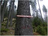 2
2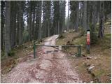 3
3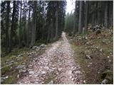 4
4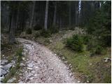 5
5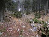 6
6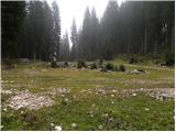 7
7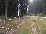 8
8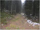 9
9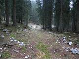 10
10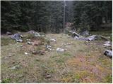 11
11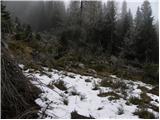 12
12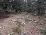 13
13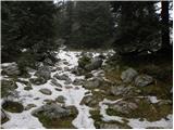 14
14 15
15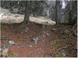 16
16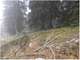 17
17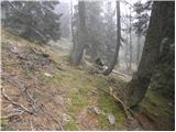 18
18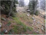 19
19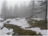 20
20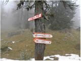 21
21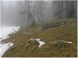 22
22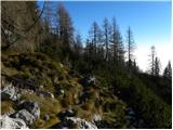 23
23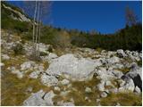 24
24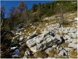 25
25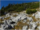 26
26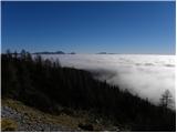 27
27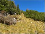 28
28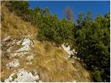 29
29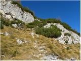 30
30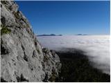 31
31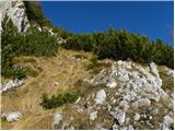 32
32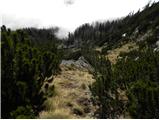 33
33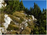 34
34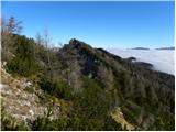 35
35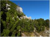 36
36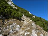 37
37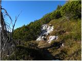 38
38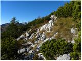 39
39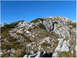 40
40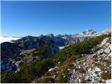 41
41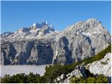 42
42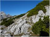 43
43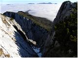 44
44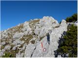 45
45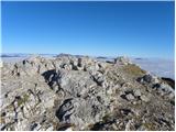 46
46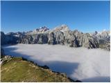 47
47