Mixnitz (Parkirišče Bärenschützklamm) - Ranerwand
Starting point: Mixnitz (Parkirišče Bärenschützklamm) (505 m)
| Latitude/Longitude: | 47,33326°N 15,36936°E |
| |
Walking time: 2 h 30 min
Difficulty: easy unmarked way
Elevation gain: 803 m
Elevation difference along the route: 926 m
Map: https://www.bergfex.at
Recommended equipment (summer):
Recommended equipment (winter):
Views: 109
 | 1 person like this post |
Access to starting point:
We leave the Maribor-Graz-Salzburg highway (A9) after a few shorter tunnels outside Graz and continue right on the expressway in the direction of Wien-Bruck/Muhr-Peggau.
We leave the expressway at the Mixnitz exit. A roundabout follows, where we choose the second exit in the direction of Mixnitz. After approximately 700 meters, we pay attention to a turn-off to the right in the direction of Mixnitz.
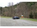
We turn right and drive through the settlement of Mixnitz. Two roundabouts follow, at both we choose the direction for Bärenschützklamm. We drive on a narrow road past houses. After approximately 700 meters, we arrive at a parking lot on the right.
Route description:
From the parking lot, we go 50 meters back in the direction of arrival. We turn right and continue on a narrower road.
The asphalt surface is replaced by gravel after a few meters. We walk uphill on the road and quickly gain altitude.
After the hunting observatory on the right, an unmarked footpath starts to the left uphill after the next turn.
At this point, we leave the marked path or road and continue on a well-trodden grassy footpath.
The path briefly brings us back to the road. We go left on the road to the turning point, where we step onto a forest footpath again. We follow the footpath uphill.
Along the way, we pay attention to a larger cairn that directs us left toward the ridge. We reach an open area.
Higher up, on a rocky outcrop, we spot a cross located at a vantage point above an almost vertical, over one-hundred-meter-high wall.
We proceed upward along the rocky edge. A trail blaze on a nearby rock directs us down over some rocky steps and a ladder, then after a few meters, we reach the cross "Rannerwandkreuz". We enjoy the panoramic view.
We return up to the path and continue along the footpath by the rocky edge.
The ridge becomes steeper, so we move away from it and ascend slowly through the forest. We arrive at a sort of road. We turn right and, after 50 meters, turn left. We continue straight uphill along the path and reach the summit.

Photos:
 1
1 2
2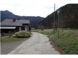 3
3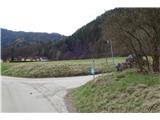 4
4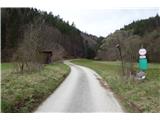 5
5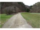 6
6 7
7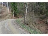 8
8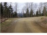 9
9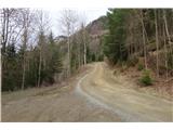 10
10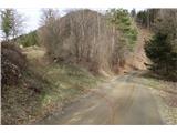 11
11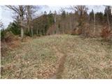 12
12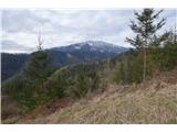 13
13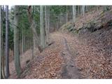 14
14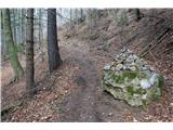 15
15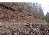 16
16 17
17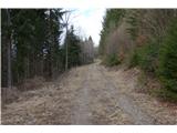 18
18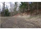 19
19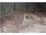 20
20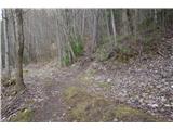 21
21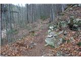 22
22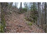 23
23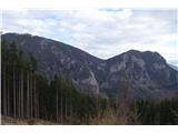 24
24 25
25 26
26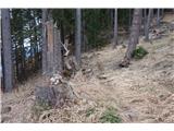 27
27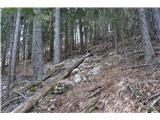 28
28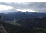 29
29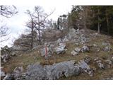 30
30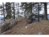 31
31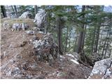 32
32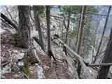 33
33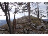 34
34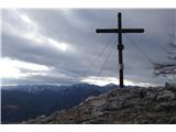 35
35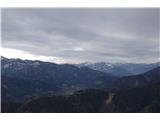 36
36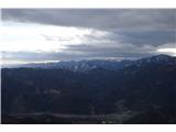 37
37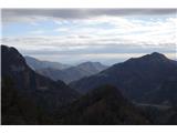 38
38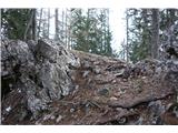 39
39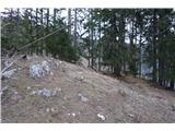 40
40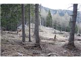 41
41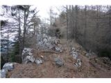 42
42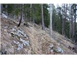 43
43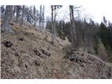 44
44 45
45 46
46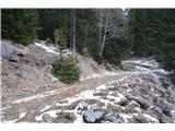 47
47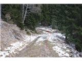 48
48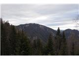 49
49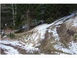 50
50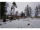 51
51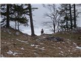 52
52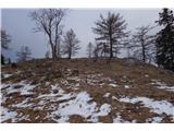 53
53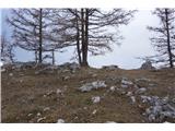 54
54 55
55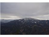 56
56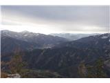 57
57 58
58
Discussion about the trip Mixnitz (Parkirišče Bärenschützklamm) - Ranerwand
To post a comment you must log in:
If you do not yet have a username, you must first
register.