Mošćenice - Brgud (po markirani poti in mimo Kremenjaka)
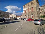
Starting point: Mošćenice (160 m)
Starting point Lat/Lon: 45.2265°N 14.24847°E 
Path name: po markirani poti in mimo Kremenjaka
Time of walking: 3 h 10 min
Difficulty: easy marked way
Difficulty of skiing: no data
Altitude difference: 747 m
Altitude difference (by path): 770 m
Map:
Access to starting point:
Cross the border crossing at Jelšane or Pasjak and drive onto the motorway towards Rijeka. Leave the motorway at the Opatija junction and continue on the expressway towards Pula, exiting it at the first Opatija exit. Follow the signs for Lovran. Drive along the coastal road to the town of Mošćenička Draga, where at the intersection turn slightly right towards Mošćenice. Parking is available at the parking lot in Mošćenice or lower down along the road.
Path description:
From the starting point, continue along the road past the Perun inn and soon a sign directs us right onto the path. After a short ascent between houses, it leads us to a junction, where we continue left on the marked path. Right path past Sveti Križ to Kalvarija. The path ascends gently and is rocky in places. The path crosses the road, where on the right we spot a small chapel. Continuing on the wider path, it offers nice views of the sea and Cres island. Soon we step onto an asphalt road that makes a hairpin turn. We walk through the hamlet of Rovini and when it ends, wooden signs direct us right onto the path. Initially we walk along a dry stone wall, then up stairs and under the power line to a meadow. After about 15 minutes of ascent on the grassy path, we arrive at the chapel of Christ the King in the hamlet of Marići. From the right, the previously mentioned path past Kalvarija joins us. Then we step onto the asphalt road that leads us through a small hamlet. After a longer ascent, we briefly leave the road and take the marked shortcut back to the road and into the hamlet of Mihani. Signs direct us right onto the path. We bypass the last house on the left and enter the forest. The path ascends slightly to the road, where there is a marked junction. Straight ahead to Perun and further to the Učka ridge. We continue left towards Kremenjaka. The road descends slightly and makes a bend, then the marks direct us right onto the ascending path. After a short ascent, the path turns left and ascends across the slope. After about half an hour of walking, the path levels out and enters a small valley. The path descends slightly and we walk for some time along the bottom of the valley, then it turns left. Soon we step onto a road, follow it right, and after a few steps a sign directs us left onto the path, which first ascends steeply, then makes a hairpin. The path continues towards the Učka ridge. After 15 minutes we reach a marked junction. Straight to Kremenjak 10 minutes. We continue right to Planinsko zavetišče Kremenjak, Brgud and Vojak. The path leads past rocks onto the grassy slope and soon enters a belt of pine forest. Soon we step onto expansive meadows, where we already see the bivouac on the hilltop. A few minutes of gentle ascent separate us from it. From the bivouac, a view opens up in all directions.
The path turns left and steeply descends and ascends along the grassy slope. Soon we step onto a cart track and follow it to a junction, where we leave the mentioned cart track and continue straight along the grassy slope. After about 10 minutes of gentle path, we reach the unmarked and shrub-covered summit of Brgud. The logbook box, monument and benches are located 5 minutes further on the next unnamed summit, to which a short descent and ascent lead.
The description and photos refer to the condition in January 2026.
Pictures:
 1
1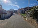 2
2 3
3 4
4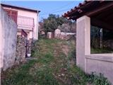 5
5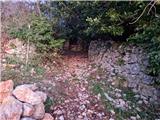 6
6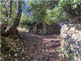 7
7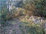 8
8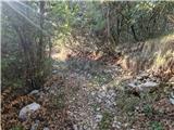 9
9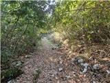 10
10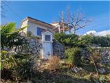 11
11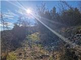 12
12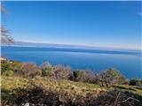 13
13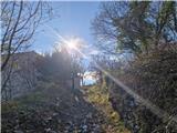 14
14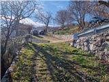 15
15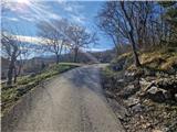 16
16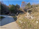 17
17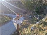 18
18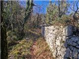 19
19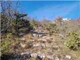 20
20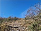 21
21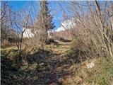 22
22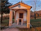 23
23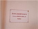 24
24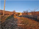 25
25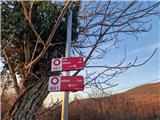 26
26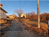 27
27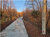 28
28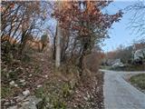 29
29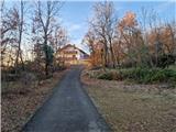 30
30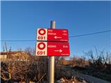 31
31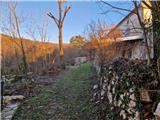 32
32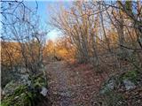 33
33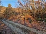 34
34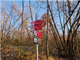 35
35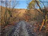 36
36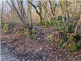 37
37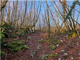 38
38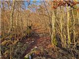 39
39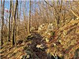 40
40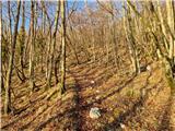 41
41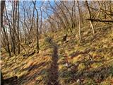 42
42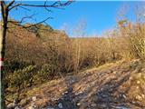 43
43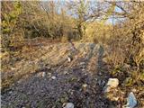 44
44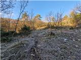 45
45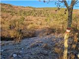 46
46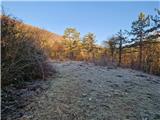 47
47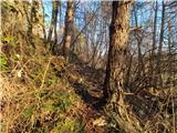 48
48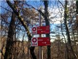 49
49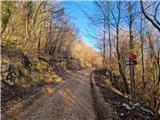 50
50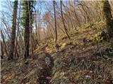 51
51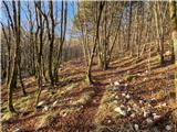 52
52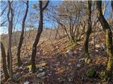 53
53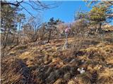 54
54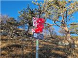 55
55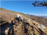 56
56 57
57 58
58 59
59 60
60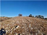 61
61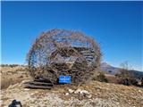 62
62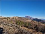 63
63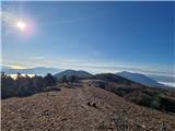 64
64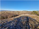 65
65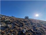 66
66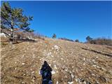 67
67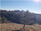 68
68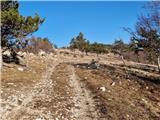 69
69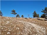 70
70 71
71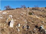 72
72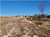 73
73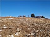 74
74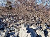 75
75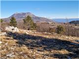 76
76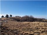 77
77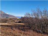 78
78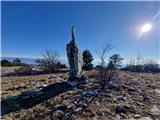 79
79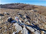 80
80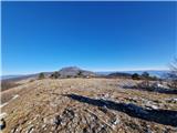 81
81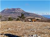 82
82