Starting point: Mošćenička Draga (10 m)
Time of walking: 3 h
Difficulty: easy marked way
Difficulty of skiing: no data
Altitude difference: 870 m
Altitude difference (by path): 880 m
Map: Istra 1:100.000
Access to starting point:
To Mošćenička Draga we come by the regional road from Reka / Rijeka towards Pula.
Path description:
Description in Croatian.
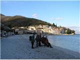
From the center of Mošćenička Draga, along Potoška vala (named after the village Potoki), to the abandoned village Trebišća. Uspon to Trebišća takes about one hour. From above the village, a path leads to Vojak, the peak of Učka, where the path at the local water supply reservoir sharply turns to the left side of the valley, toward the sea, and upon reaching the plateau, arrives just below the peak Perun. From the plateau, the path partially ascends the eastern side, and along the southern side, it reaches the very peak. From the peak, there is no view of the sea due to the high coniferous forest, but a view opens toward Učka and to the west toward the saddle Bodaj and Istria. Ascent to the top of Perun, due to snow, took 3.5 hours. Descent to Mošćenica and Mošćenička Draga took 3 hours. From the center of Mošćenica, 753 steps lead to the beach Sveti Ivan and further along the Lungomare to the center of Mošćenička Draga.
Pictures:
 1
1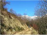 2
2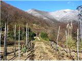 3
3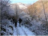 4
4 5
5 6
6 7
7 8
8 9
9 10
10 11
11 12
12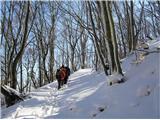 13
13 14
14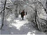 15
15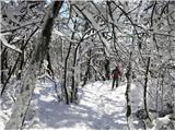 16
16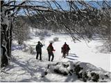 17
17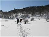 18
18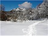 19
19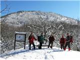 20
20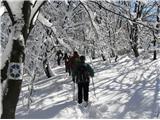 21
21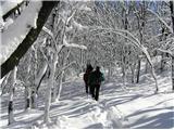 22
22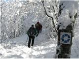 23
23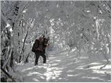 24
24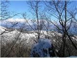 25
25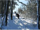 26
26 27
27 28
28 29
29 30
30 31
31 32
32 33
33 34
34