Oberort (parkirišče Zeleno jezero) - Zeleno jezero / Grüner See (by road)
Starting point: Oberort (parkirišče Zeleno jezero) (755 m)
Starting point Lat/Lon: 47.53711°N 15.06757°E 
Path name: by road
Time of walking: 12 min
Difficulty: easy marked way
Difficulty of skiing: no data
Altitude difference: 21 m
Altitude difference (by path): 21 m
Map:
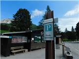
Access to starting point:
Path description:
On the way: Pfarrerteich (793m), Seehof beim Grünen See (785m)
Pictures:
 1
1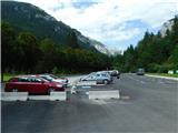 2
2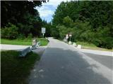 3
3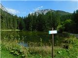 4
4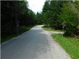 5
5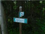 6
6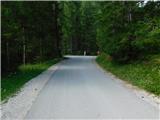 7
7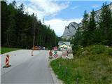 8
8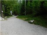 9
9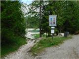 10
10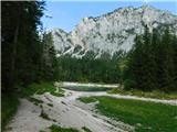 11
11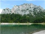 12
12