Orehek - Kojca (on the route of Kojca trail run)
Starting point: Orehek (600 m)
Path name: on the route of Kojca trail run
Time of walking: 1 h 45 min
Difficulty: easy marked way
Difficulty of skiing: partly demanding
Altitude difference: 703 m
Altitude difference (by path): 703 m
Map: Škofjeloško in Cerkljansko hribovje 1:50.000
Access to starting point:
First, we drive to the center of Cerkno (to here from the road Idrija - Tolmin or from Gorenja vas), and then we continue driving in the direction of village Zakriž, Zakojca, Jesenica, Gorje, Poče and Trebenče. And only a little ahead we come to the next crossroad, where a road branches off to the left towards the village Zakriž. Here we have two options to continue; we can continue left in the direction of village Zakriž and to the mentioned village we ascend on a steep road or we continue straight and to the village Zakriž we ascend on a little longer but wider road.
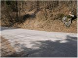
Above the village Zakriž we come to the next crossroad, where we continue right in the direction of village Jesenica and Zakojca. On occasionally quite a panoramic road we drive through (below) the village Jesenica. After the sign, which marks the beginning of the village Orehek, there is a group of houses. We need to pay attention to yellow building by the road on the left side. Approx 30 meters after it, there is an asphalt turn-off sharply to the left. Here we turn to the building of the former primary school, where there is also our starting point, and on the right, the forest path runs steeply upwards into the slope of Kojca. We can park at the former primary school, or on one of the many appropriate spots by the main road.
Path description:
On the path »On the route of Kojca trail run (Po progi Gorskega teka na Kojco)« we go from the parking lot by the former primary school or from the main road, if we decided to park next to it. If we start from the primary school, at first there is 300 meters of an asphalt road. At the crossroad with the main road, we cross it, and the sign point us on the forest road which at first steeply ascends in hairpin turns. After few hundred metrers, the steepness decreases slightly, we come on a clearing, where we can also see remains of a hayloft, for those places a very characteristic architectural heritage, and then we again continue through the forest. The forest road soon ends and signpost point us to the left. The footpath which takes us towards the saddle Lipje, soon goes into a gully and from there steeply towards the top of the slope. Here because of an easier and safer walking, the members of MD Vidaunk, who also organize the traditional mountain run on Kojca, made the stairs. After we get past this, a little harder part, we get to a saddle Lipje, where the footpath joins the path from Jesenica (Vrh Ravni). Attraction, which we have to visit, is a viewpoint, on which we go from the path 100 meters below Lipje. From there a breathtaking view is opening up on Cerkljansko. We recommend also sightseeing of Hudičev and Divji rob. Legends about them and signposts to there, you find at the rest area Lipje.
Further path returns into a dense forest and starts ascending even steeper. Higher, the steepness decreases and the path turns right. Next follows few minutes of crossing of steep slopes and the path brings us to a crossing, where from the right side, the path from the village Zakojca joins.
We continue sharply left in the direction of Kojca on a hunting path, which only a little further brings us on the main ridge of the mentioned peak. Here the path turns a little to the right and it starts ascending steeply again on the more and more panoramic upper slope of the mountain. Higher, the steepness decreases and the path brings us out of the forest on grassy slopes on which we then in few minutes of panoramic walking ascend to the summit of Kojca.
Pictures:
 1
1 2
2 3
3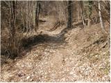 4
4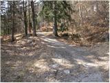 5
5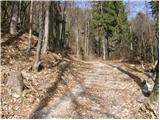 6
6 7
7 8
8 9
9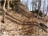 10
10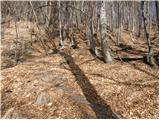 11
11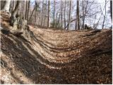 12
12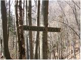 13
13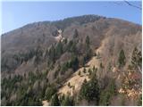 14
14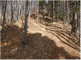 15
15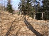 16
16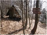 17
17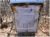 18
18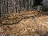 19
19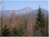 20
20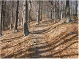 21
21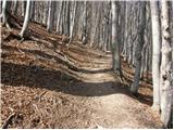 22
22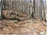 23
23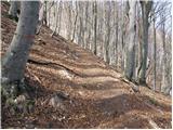 24
24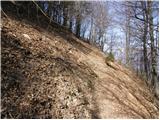 25
25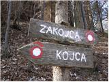 26
26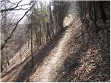 27
27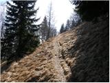 28
28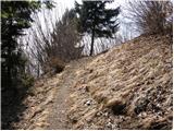 29
29 30
30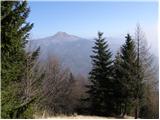 31
31 32
32 33
33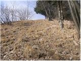 34
34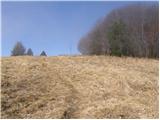 35
35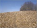 36
36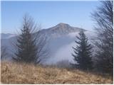 37
37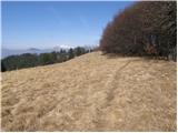 38
38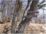 39
39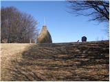 40
40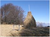 41
41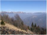 42
42