Osankarica - Ribniška koča
Starting point: Osankarica (1193 m)
| Latitude/Longitude: | 46,44900°N 15,41960°E |
| |
Walking time: 8 h
Difficulty: easy marked way
Elevation gain: 314 m
Elevation difference along the route: 600 m
Map: Pohorje 1:50.000
Recommended equipment (summer):
Recommended equipment (winter):
Views: 8.212
 | 1 person like this post |
Access to starting point:
Osankarica is located on Slovensko Bistriško Pohorje. Access is possible from the direction of Oplotnica, from the direction of Slovenska Bistrica, from the direction of Areh, from the direction of Ruše, from Lovrenc na Pohorju, and from the direction of Rogla.
Route description:
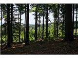
Friday, Saturday, and Sunday (25.6.-27.6.2010), Planinsko društvo Podpeč - Preserje organized a trip to Pohorje. Guide Marko Goršič led us on less known and less visited hiking paths, so we thoroughly explored the vastness of Pohorje forests, which undoubtedly leave an impression on visitors.
We took the path at Osankarica in the direction of Klopni vrh, continuing the planned route to Koča na Pesku. The next point was Rogla, where the most enthusiastic participants climbed and continued along the ridge, while the rest of us headed toward Lovrenška jezera without this ascent and moved on. We came across a chairlift and, of course, made use of it, so Rogla was not missed. The diligent two soon caught up with us, and together we continued the path toward Lovrenška jezera, where there is practically no water anymore, yet this natural sight is undoubtedly worth seeing. We continued the path through the forest reserve toward Ribniška koča. The next intermediate destination was Pesnik, where three members of the expedition went, while the rest of us rested. Together, we then went to Grmovškov dom pod Veliko Kopo, then toward Partizanski dom on Kopah, from where, after a steep descent, we arrived at Paučkova partizanska hospital, which was renovated this year. We also included a visit to Koča Planinc na Pohorju in the hike and continued in the direction of Koča pod Kremžarjevim vrhom. From there, only the descent into the valley to Slovenj Gradec awaited us, where we rewarded ourselves with the Koroška specialty mežrli - I recommend.

Photos:
 1
1 2
2 3
3 4
4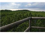 5
5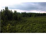 6
6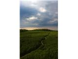 7
7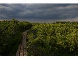 8
8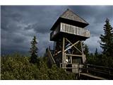 9
9 10
10 11
11 12
12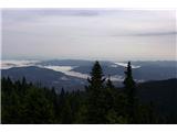 13
13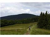 14
14 15
15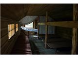 16
16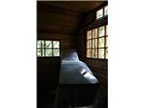 17
17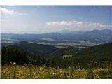 18
18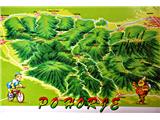 19
19
Discussion about the trip Osankarica - Ribniška koča
To post a comment you must log in:
If you do not yet have a username, you must first
register.