Pivola (Reka) - Mariborska koča (via Hočka koča)
Starting point: Pivola (Reka) (373 m)
| Latitude/Longitude: | 46,49020°N 15,61070°E |
| |
Route name: via Hočka koča
Walking time: 2 h 15 min
Difficulty: easy marked way
Elevation gain: 713 m
Elevation difference along the route: 725 m
Map: Pohorje 1:50.000
Recommended equipment (summer):
Recommended equipment (winter): ice axe, crampons
Views: 5.029
 | 1 person like this post |
Access to starting point:
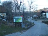
From the four-lane road between Maribor and Slivnica, at the traffic light crossroad we turn right in the direction of the village Hoče (from the Slivnica direction, left). We follow the road ahead through Spodnje and Zgornje Hoče towards Slivniško Pohorje, but only to the first sharp turn to the left, by which we will notice the guesthouse Rečnik and the turn-off into the village Pivola. We leave the car at the inn (of course first ask for permission) or somewhere nearby.
Route description:
From the inn Rečnik in Pivola we go over a small bridge (left path over Petkovo sedlo) and continue on the asphalt road, but only to the first crossing, where we turn right. On the ascending asphalt path we go to a marked crossing, where we turn left. Here, the asphalt ends, and the path leads us to the church of St. Lenart.
From the church, we head west into the forest, where we continue on a forested cart track. The ground will be somewhat more rocky. We leave the cart track after a minute and turn right, heading steeply upwards. When the steepness eases, we are back on a cart track, where we turn left and then right upwards again. From this cart track, we branch off left again. A very steep path through the spruce forest follows, leading us to the next asphalt road directly in front of the hill farm Visočnik. We bypass the farm and enter the forest.
We stay in the forest for a few minutes, then step onto a meadow, where we continue right along the forest. The path then leads us to the farm Breznik. After the farm, we enter the forest again and stay there for about a minute. When we reach the next meadow, we keep to the right side, re-enter the forest, and quickly leave it. We step onto a meadow again, this time keeping to its left side, and when we spot a blaze, we head west and arrive at the cottage Hočka koča, which is unfortunately abandoned.
From the cottage, we follow the road past the chapel to a crossing where we turn sharply left.
The road quickly turns west and flattens out. By the road is the farm Potočnik-Major. After the farm, there is a crossing where we turn right upwards. The road begins ascending through the spruce forest and leads us to a meadow with benches for rest. Shortly after the benches, we leave the road and turn right into the forest, but we quickly reach a meadow again. When we reach the top of the meadow, the path turns into the forest and begins ascending more steeply.
In the spruce forest, the path ascends steeply along logging trails. At one crossing, we choose the logging trail overgrown with young spruces (here it seems logical that the path goes left). We will also cross a small stream. Along this steep section, there are a few crossings, but they are well marked.
When the steepness finally eases, we enter a short stretch of sparse beech forest. We continue on a wider road, where we unnoticeably join the Slovenian hiking trail, marked with the number one.
The path leads us to an asphalt road, where we turn left and, after some walking, reach a point where our path returns to the forest. We are in the forest for a short time, then arrive at some apartments and cabins located here. Now we are very close to the mountain hut Mariborska koča, which we reach after a few minutes. The turn-off to it is marked.
At the mountain hut, and at several points along the path, we are rewarded with a great view to the east and south.

Photos:
 1
1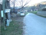 2
2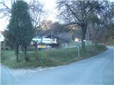 3
3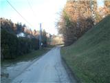 4
4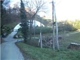 5
5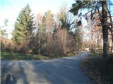 6
6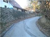 7
7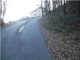 8
8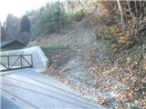 9
9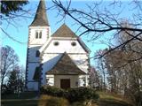 10
10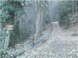 11
11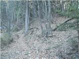 12
12 13
13 14
14 15
1516
 17
17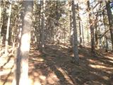 18
18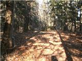 19
19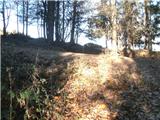 20
20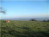 21
21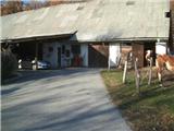 22
22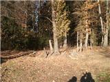 23
23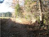 24
24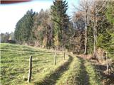 25
25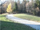 26
26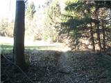 27
27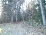 28
28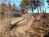 29
29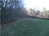 30
30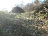 31
31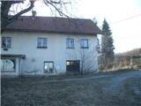 32
32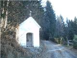 33
33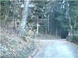 34
34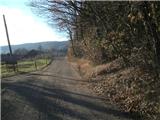 35
35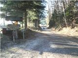 36
36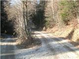 37
37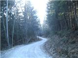 38
38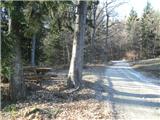 39
39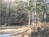 40
40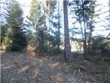 41
41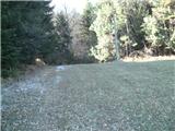 42
42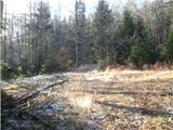 43
43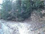 44
44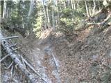 45
45 46
46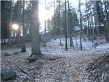 47
47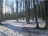 48
48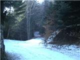 49
49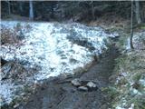 50
50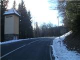 51
51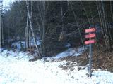 52
52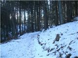 53
53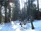 54
54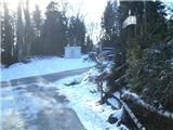 55
55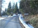 56
56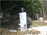 57
57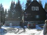 58
58
Discussion about the trip Pivola (Reka) - Mariborska koča (via Hočka koča)
To post a comment you must log in:
If you do not yet have a username, you must first
register.