Planina Blato - Vršaki (Srednji vrh) (via Planina Krstenica and through valley Dolina za Debelim vrhom)
Starting point: Planina Blato (1147 m)
Starting point Lat/Lon: 46.3112°N 13.8501°E 
Path name: via Planina Krstenica and through valley Dolina za Debelim vrhom
Time of walking: 5 h 35 min
Difficulty: easy pathless terrain
Difficulty of skiing: no data
Altitude difference: 1277 m
Altitude difference (by path): 1400 m
Map: Triglav 1:25.000
Access to starting point:
From highway Ljubljana - Jesenice we go to the exit Lesce and follow the road towards Bled and forward towards Bohinjska Bistrica. We continue driving towards the Lake Bohinj (Ribčev laz), where we come to the crossroad, where we continue right in the direction of Stara Fužina. In Stara Fužina at the crossroad at the chapel, we turn sharply left on an ascending road in the direction of the mountain pasture Blato, mountain pasture Vogar and valley Voje. The road ahead brings us to the spot, where the road toll or parking fee has to be paid, we follow it forward to the next crossroad, where we continue left (right Voje). Then we follow the road to the next crossroad (we drive for quite some time), where we turn sharply right in the direction of the mountain pasture Blato (straight mountain pasture Vogar). We follow this road to the parking lot above the mountain pasture Planina Blato.
Path description:
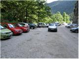
From the parking lot, we continue on a macadam road which past a gate in few steps brings us to a right turn. On the right side of the mentioned turn, we will notice the beginning of the hunting path, which with the help of steel cables leads over a shorter very steep slope. The path soon passes into the forest and turns slightly towards the right, where soon crosses a wide cart track (to here possible also on the road, or higher cart track). Further, we are ascending on a pleasant forest path, which is ascending parallel with a relatively steep cart track. Higher, the path turns to the left, and from the right joins the footpath which leaves the cart track approximately 15 minutes above the mountain pasture Blato.
The hunting path further continues through the forest with some shorter steep ascents and after a good hour of walking, it brings us to a smaller hunting cottage on the left side of the path. Here a minute long path to the vantage point branches off to the left, where below us we can notice a mountain pasture Blato.
From the hunting cottage ahead, the path soon brings us out of the forest, where we again join the cart track. Next follows only a good five minutes of walking to the mountain pasture Krstenica, where a beautiful view opens up on Ogradi, Krn and Spodnje Bohinjske gore.
From the mountain pasture, we continue further on the path which at first is a little poorly visible on the western (left) side of the mountain pasture. Already after few ten meters, several smaller footpaths join into a one well visible path. The path ahead with some shorter ascents and descents crosses slopes of Mali and Jezerski Stog. After approximately half an hour of walking from the mountain pasture Planina Krstenica path brings us on a grassy terrain of abandoned mountain pasture Planina Jezerce.
On the mountain pasture, we continue straight and we soon come to an unmarked crossing where the marked path turns right. At this crossing, we go slightly left and we continue on a footpath which leads ahead through the valley. We are soon at the crossing again, also this time we go left on a worse beaten path, right leads the path on a saddle Mišeljski preval.
The path further runs towards the west and is all the time ascending on a steep terrain covered with dwarf pines. A poorly beaten path, which is in some parts also a little damaged from torrents then brings us on a saddle Lazovški preval where we for a short time join a marked path.
On the saddle Lazovški preval we can for a short time continue right on a marked path, and then at the right turn we leave the marked path and go on pathless terrain towards the northwest (towards Debeli vrh). Further, we are ascending on pathless terrain upwards, so that we come on slopes below the northern wall of Debeli vrh. Here we have to be careful a little, because by the path there are also some abysses. We follow cairns over slopes below the northern wall of Debeli vrh and we start descending on a quite steep terrain. After the descent, we turn to the right (towards the north), we cross the valley and then we start ascending below the western slopes of Vrh Hribaric (2388 meters). On terrain, which is marked with cairns we are still slightly ascending in the direction towards the north all the way to the saddle between Vrh Hribaric and Vršaki.
Here we continue left on the south (left) side of the eastern peak of Vršaki. Then on a pathless slope, we start ascending, so that we cross southern slopes of the mountain towards the west. In the last part, we then turn to the right and a short ascent follows to the eastern, highest peak of Vršaki.
From the top, we descend a little on the south side, to avoid demanding ridge and then we descend on the scree downwards. In the lower part of the scree some caution is needed, because scree ends with a steep rocky slope. At the end of the scree we continue right and after a short crossing again start ascending. Next follows only the last ascent to the middle (second) peak of Vršaki.
Pictures:
 1
1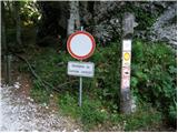 2
2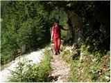 3
3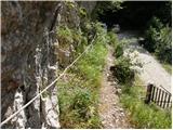 4
4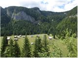 5
5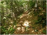 6
6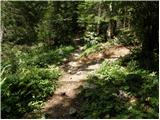 7
7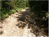 8
8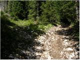 9
9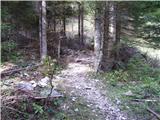 10
10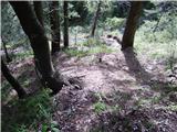 11
11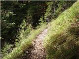 12
12 13
13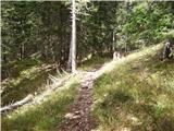 14
14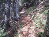 15
15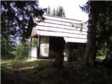 16
16 17
17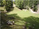 18
18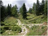 19
19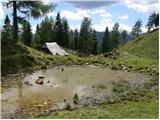 20
20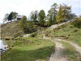 21
21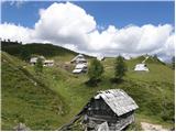 22
22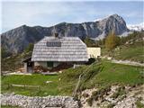 23
23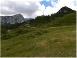 24
24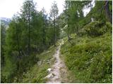 25
25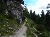 26
26 27
27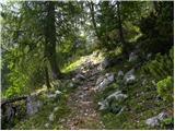 28
28 29
29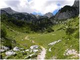 30
30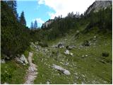 31
31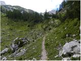 32
32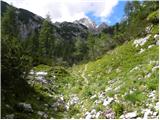 33
33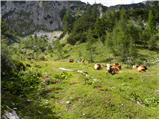 34
34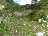 35
35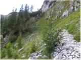 36
36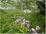 37
37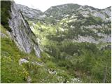 38
38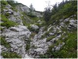 39
39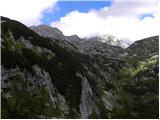 40
40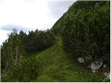 41
41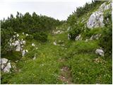 42
42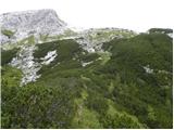 43
43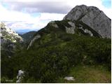 44
44 45
45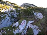 46
46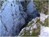 47
47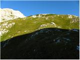 48
48 49
49 50
50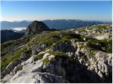 51
51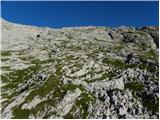 52
52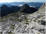 53
53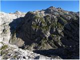 54
54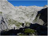 55
55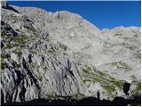 56
56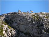 57
57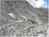 58
58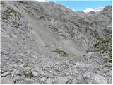 59
59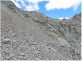 60
60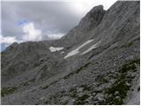 61
61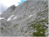 62
62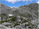 63
63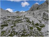 64
64 65
65 66
66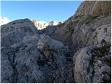 67
67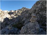 68
68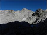 69
69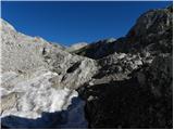 70
70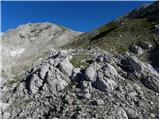 71
71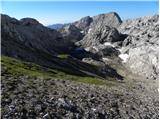 72
72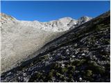 73
73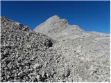 74
74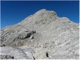 75
75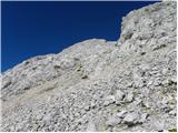 76
76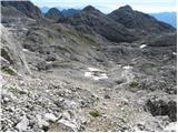 77
77 78
78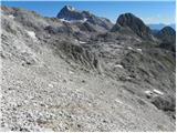 79
79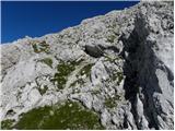 80
80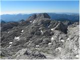 81
81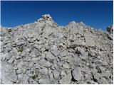 82
82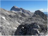 83
83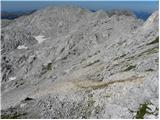 84
84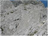 85
85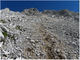 86
86 87
87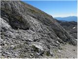 88
88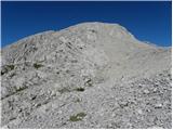 89
89 90
90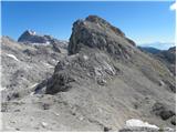 91
91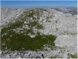 92
92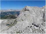 93
93