Planina Dol - Planina Rzenik
Starting point: Planina Dol (1308 m)
| Latitude/Longitude: | 46,31780°N 14,63790°E |
| |
Walking time: 1 h
Difficulty: easy marked way
Elevation gain: 346 m
Elevation difference along the route: 346 m
Map: Kamniške in Savinjske Alpe 1:50.000
Recommended equipment (summer):
Recommended equipment (winter):
Views: 10.542
 | 2 people like this post |
Access to starting point:
First, we drive to Kamnik, and then we continue driving in the direction of the Črnivec pass. Only a few hundred meters before the mentioned pass, we notice signs for Kranjski Rak, which direct us sharply left onto a narrow and at first also quite steep road. The road levels out higher up and then brings us to the Volovjek pass, where immediately behind the Kranjski Rak inn we turn left onto a road in the direction of Velika planina. Further, we drive on a macadam road, which higher brings us to the next somewhat larger crossroad. We continue right (straight Planina Kisovec) and follow the moderately ascending road past the Ušivec parking lot. From the mentioned parking lot we continue on a somewhat poorer macadam road, which we follow at the crossroads in the direction of Planina Dol. After some time the road starts to descend steeply, and we follow it to a marked parking lot near Planina Dol.
From the Savinjska Valley we first drive to Luče, and then we continue driving towards Kamnik. When we arrive at the Volovjek pass (Kranjski Rak) we continue right in the direction of Velika planina. Further, we follow the above description.
Route description:
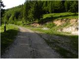
From the parking lot, we continue on a macadam road which barely noticeably descends towards the western part of the mountain pasture. After a few minutes of easy walking we will notice a shepherd hut on the left side, and we continue on the macadam road for another few 10 meters ahead, to the spot where on a tree we notice signs for Konj, which direct us right across a meadow (left Velika planina, straight valley Kamniška Bistrica - lower cable car station to Velika planina). The path ahead moderately ascends across the meadow, then transitions into the forest, where it turns right and gradually becomes steeper and steeper. Follows approximately 20 minutes of steep ascent through the forest, then the path brings us to a smaller viewpoint. Here the path turns left and also flattens somewhat. We continue on a moderately steep path, where from increasingly sparse forest we soon pass into the belt of dwarf pines. Follows a short ascent on a well-trodden path through the dwarf pines and the path brings us to Planina Rzenik, on the edge of which we notice a shepherd hut.

Photos:
 1
1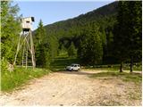 2
2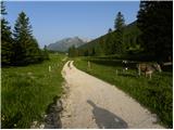 3
3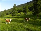 4
4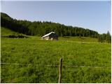 5
5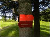 6
6 7
7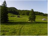 8
8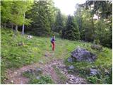 9
9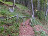 10
10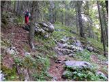 11
11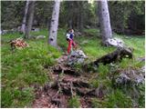 12
12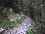 13
13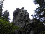 14
14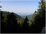 15
15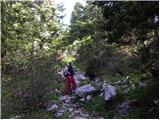 16
16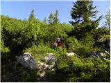 17
17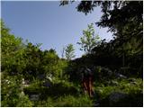 18
18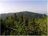 19
19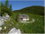 20
20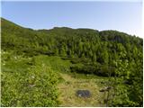 21
21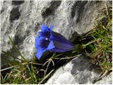 22
22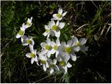 23
23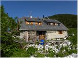 24
24
Discussion about the trip Planina Dol - Planina Rzenik
To post a comment you must log in:
If you do not yet have a username, you must first
register.