Planina (Dolnja Planina) - Grmada (Planinska gora) (via Sv. Duh)
Starting point: Planina (Dolnja Planina) (458 m)
Starting point Lat/Lon: 45.8361°N 14.2554°E 
Path name: via Sv. Duh
Time of walking: 1 h 5 min
Difficulty: easy unmarked way
Difficulty of skiing: no data
Altitude difference: 415 m
Altitude difference (by path): 420 m
Map:
Access to starting point:
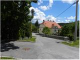
A) From highway Ljubljana - Koper we go to the exit Unec, and then we continue driving in the direction of Planina. In Planina, where we join the old road Logatec - Postojna we continue left, and we drive on the main road only few 10 meters, because then immediately after the parish church of St. Marjeta we turn left on a parking lot at the church.
B) From Logatec or Idrija we drive to Kalce pri Logatcu, and from there we continue driving on the old road towards Postojna. At the beginning of Planina from the left joins also the road from Unec, and from here we continue on the main road only few 10 meters, because then immediately after the parish church of St. Marjeta we turn left on a parking lot at the church.
C) We drive to Postojna, and then we continue driving on the old road towards Logatec. At the end of the settlement Planina we will get to the parish church of St. Marjeta, where we park on a parking lot next to it.
Path description:
From the parking lot, we at first walk to the main road which we carefully cross, and then we continue on the road which goes in the opposite direction as the church is. The road quickly changes into a cart track, and it is moderately ascending through area named Zavrtniki. Few minutes we are ascending with nice views on Planinsko polje, and then the path brings us into the forest, where we notice the first signs for Planinska gora. Few meters higher we cross a macadam road, and two additional signposts point us on a cart track which is ascending through the forest. Few minutes we are ascending on the mentioned cart track, then signs point us to the left on a footpath, that is gently ascending towards the left. A little further, we get to a crossing of several cart tracks, where we continue straight (left downwards Planina past the ruins of the church of the Holy Spirit, right forest cart track) on a wider cart track, by which we notice few yellow arrows (yellow arrows are some sort of blazes). Few strides ahead we continue on the left cart track which is then moderately ascending. During the ascent, the path leads us past several religious symbols (smaller chapels or crosses by the path), after that from the left joins the path from the quarry.
Here we continue right and in few minutes of additional walking, we ascend to the church of Holy Mary on Planinska gora.
At the church, we step on a macadam road on which we continue the ascent. After a good 10 minutes of additional walking, we will on the right side notice a cart track which leads on extensive grassy slopes. On the mentioned slopes we walk on a little worse cart track which points us slightly right. After few 10 strides of pleasant walking, the path brings us to a viewpoint, from which a wonderful view opens up on Planinsko polje.
Near the viewpoint, by the edge of the forest we notice unmarked mountain path, which points us sharply right on which in 3 minutes of walking, we ascend on with a forest covered peak of Grmada.
Pictures:
 1
1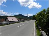 2
2 3
3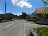 4
4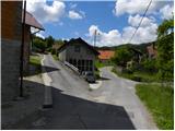 5
5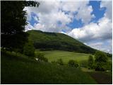 6
6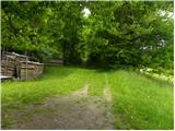 7
7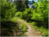 8
8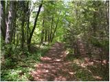 9
9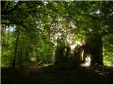 10
10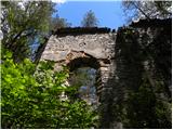 11
11 12
12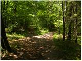 13
13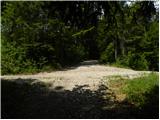 14
14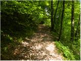 15
15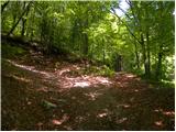 16
16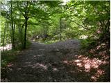 17
17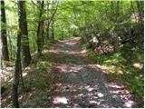 18
18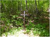 19
19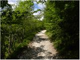 20
20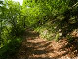 21
21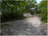 22
22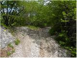 23
23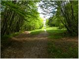 24
24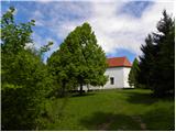 25
25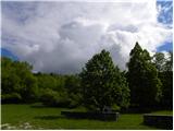 26
26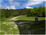 27
27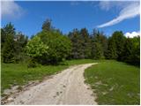 28
28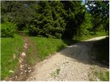 29
29 30
30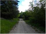 31
31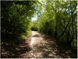 32
32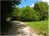 33
33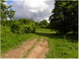 34
34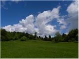 35
35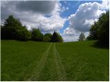 36
36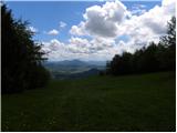 37
37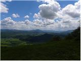 38
38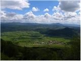 39
39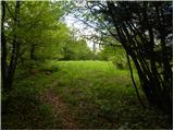 40
40 41
41