Planina pod Golico - Krvavka
Starting point: Planina pod Golico (980 m)
Starting point Lat/Lon: 46.4706°N 14.0599°E 
Time of walking: 2 h
Difficulty: easy pathless terrain
Difficulty of skiing: partly demanding
Altitude difference: 804 m
Altitude difference (by path): 804 m
Map: Karavanke - osrednji del 1:50.000
Access to starting point:
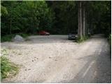
From the highway Ljubljana - Jesenice we take the exit Lipce (also possible Hrušica) and we follow the road ahead in the direction of Jesenice, where signs for Planina pod Golico direct us onto an ascending road. The relatively steep road soon brings us to the mentioned village, where in May on the surrounding meadows we can admire the blooming of daffodils. From Planina pod Golico we drive ahead to the next crossroads, where we notice numerous mountaineering signposts. Here we continue right and we drive a good 50 meters to the parking lot below the Savske jame.
Path description:
At the beginning of the parking lot we notice the mountaineering signs, which direct us left along the asphalt road upwards. After a short ascent, the path brings us to the agrotourism Betel and behind it to a crossroads, where we continue right in the direction of Golica. After a few more minutes of walking along the road, we reach the hut pri Fencu. Here be careful, as just a few steps ahead a wide marked path branches off to the right, leading to Golica.
The path ahead ascends over a shorter meadow behind which we enter pleasant shade through which the path continues. After approximately half an hour of walking we step onto a macadam road, which we follow to the right, but only to the lower station of the cargo cableway.
From the cableway we continue towards the mountain hut Koča na Golici along a path that ascends quite steeply through increasingly sparse forest. After a good hour of walking the path brings us out of the forest onto bare slopes from which we already see the hut ahead. A little further we reach a junction, where we continue left (right Struška, Markljev and Pusti Rovt). We follow this path, steep in the last section, to the hut.
From the hut we continue the ascent northwards along initially gentle then steep grassy slopes. After a good 20 minutes of ascent the steepness eases and the path brings us to a junction.
We continue right (left Golica 10 minutes) and ascend easier pathless terrain to the summit visible ahead. After approximately 10 minutes of ascent we reach the bare summit.
Pictures:
 1
1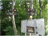 2
2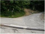 3
3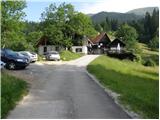 4
4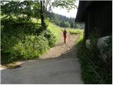 5
5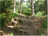 6
6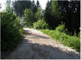 7
7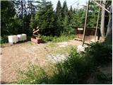 8
8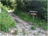 9
9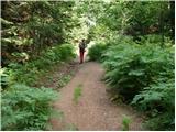 10
10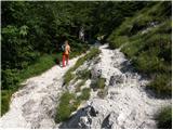 11
11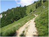 12
12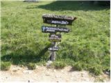 13
13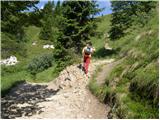 14
14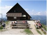 15
15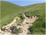 16
16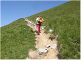 17
17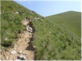 18
18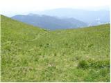 19
19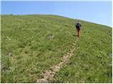 20
20 21
21 22
22