Planina Zapleč - Kal (Krnčica ridge)
Starting point: Planina Zapleč (1201 m)
| Latitude/Longitude: | 46,28330°N 13,63080°E |
| |
Walking time: 2 h 30 min
Difficulty: easy pathless terrain, partly demanding unmarked way
Elevation gain: 498 m
Elevation difference along the route: 550 m
Map: Julijske Alpe - zahodni del 1:50.000
Recommended equipment (summer):
Recommended equipment (winter): ice axe, crampons
Views: 208
 | 1 person like this post |
Access to starting point:
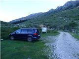
From Tolmin or Bovec we drive to Kobarid, from there we follow the road in the direction of Drežnica (the turn-off is from the Kobarid bypass). We continue across the bridge over the river Soča and immediately after the bridge we turn left in the direction of Drežnica. In Drežnica we come to a crossroads, where the road to the village Magozd branches off to the left, and we continue a little further to the next crossroads, where we turn left in the direction of Drežniške Ravne. The road then brings us to a crossroads in Drežniške Ravne, where we turn right upward in the direction of Krasji vrh. At the next crossroads, we again turn right and follow the road to a trough with water, where the asphalt ends. We then follow the macadam road for quite a few kilometers to a parking lot by the road in front of the TNP sign and the grazing fence.
Route description:
At the end of the parking lot, where we cross a grazing fence, we continue on the road, while a footpath branches off to the right towards the saddle Vrata and further towards Krnčica and Krn. So we continue on a gentle road across the mountain pasture Zapleč in the direction of the mountain pasture Zaprikraj. The road, which is closed to public traffic, begins to descend slightly and soon we notice that a somewhat less visible but wide, grass-covered mule track branches off to the right. We turn onto the mentioned mule track and begin ascending diagonally. Soon we reach a wire fence which we have to cross. We continue ascending diagonally and then a path joins us from the left, coming past the mountain pasture Zaprikraj. We could have ascended via that path if we wanted to avoid crossing the wire fence, which is somewhat harder to cross.
We continue to the right and keep ascending. When we reach the next fence, the path first climbs right along the fence, then soon crosses it. Here to the right a path leads towards the summit Vršič from the southeastern side.
After crossing the mentioned fence, we continue ascending diagonally on a wide but quite overgrown mule track. For quite a long time we ascend diagonally in a northwesterly direction. The mule track is very poorly visible, so we are essentially walking on pathless terrain. The path ascends diagonally all the time across grassy slopes, occasionally crossing some bushes and individual trees. When, across the grassy slopes, we reach the southwestern side of the peak Vršič, we notice a signpost on a tree for Kal and Vršič that directs us to the right. What follows is an ascent in somewhat longer zigzags along a poorly visible mule track. Slightly higher, the path again ascends more diagonally towards the northwest and, just before the ridge, brings us to a junction.
To the right and upwards a footpath leads to the summit Vršič from the western side, while we continue left towards the summit Kal. The footpath is here slightly better visible, so we can follow it without major difficulties. Further on, the path crosses occasionally somewhat steeper slopes along the ridge and for most of the time descends gently. Along the path here we will also notice numerous ruins and military trenches. Since the path is less trodden, a little more caution is occasionally needed when crossing the steeper slopes. We follow this path, which runs all the time close to the ridge, all the way to the somewhat less distinct peak Kal. From the junction below the ridge to the summit Kal it is a little less than half an hour of walking. The summit can be recognized by the remains of an Italian fortification from the time of the First World War.

Photos:
 1
1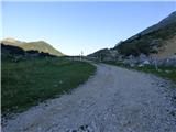 2
2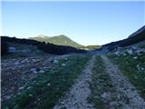 3
3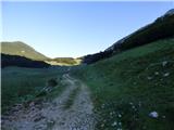 4
4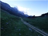 5
5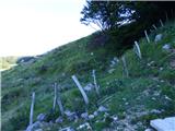 6
6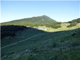 7
7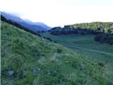 8
8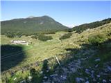 9
9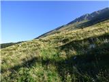 10
10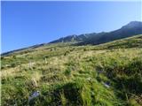 11
11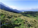 12
12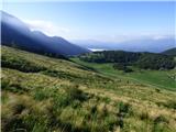 13
13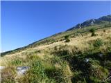 14
14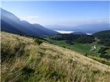 15
15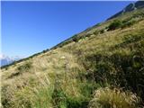 16
16 17
17 18
18 19
19 20
20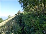 21
21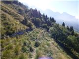 22
22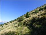 23
23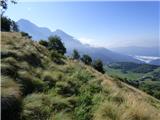 24
24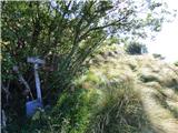 25
25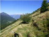 26
26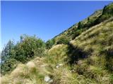 27
27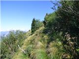 28
28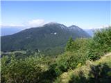 29
29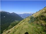 30
30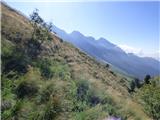 31
31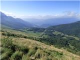 32
32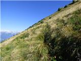 33
33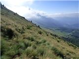 34
34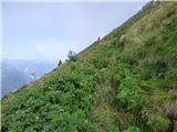 35
35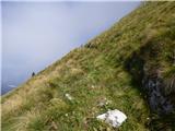 36
36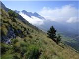 37
37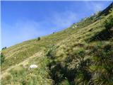 38
38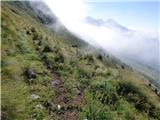 39
39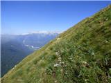 40
40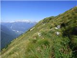 41
41 42
42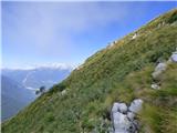 43
43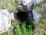 44
44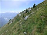 45
45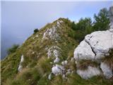 46
46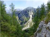 47
47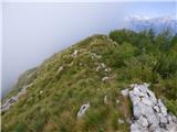 48
48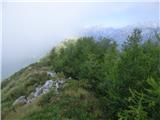 49
49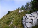 50
50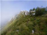 51
51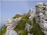 52
52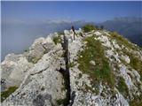 53
53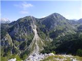 54
54 55
55 56
56 57
57
Discussion about the trip Planina Zapleč - Kal (Krnčica ridge)
To post a comment you must log in:
If you do not yet have a username, you must first
register.