Planšarsko jezero - Virnikov Grintovec
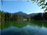
Starting point: Planšarsko jezero (897 m)
| Latitude/Longitude: | 46,40390°N 14,51520°E |
| |
Walking time: 2 h 30 min
Difficulty: easy unmarked way, easy marked way
Elevation gain: 757 m
Elevation difference along the route: 800 m
Map: Karavanke - osrednji del 1:50.000
Recommended equipment (summer):
Recommended equipment (winter): ice axe, crampons
Views: 6.460
 | 1 person like this post |
Access to starting point:
From the Ljubljana - Jesenice highway, take the Kranj - East exit and follow the road ahead towards Jezersko. From the gas station at Zgornje Jezersko, drive along the main road for approximately 1 km, then turn right towards Planšarsko jezero, to which we arrive after a few hundred meters of additional driving. Park on the large parking lot near the lake.
Route description:
From Planšarsko jezero, return along the road by which we arrived to the main road, cross it carefully, then continue along its edge towards Austria. Walk along the main road for approximately 200 m, then notice the signs for the Roblek homestead, which direct us left onto a local road. Along the gently sloping local road, continue across a larger and panoramic meadow, then arrive at a smaller crossroads ("pr božjem učes"), where continue left (right is the Roblek homestead). The macadam road then leads past a smaller wooden house, after which the road gradually enters the forest. When the road enters the forest, it first crosses a smaller stream, then quickly brings us to a long right bend, where it crosses the stream again.
Just before the road crosses the stream again, leave it and continue straight onto a cart track, which begins to ascend moderately. Higher up, the cart track leaves a smaller ditch and turns left onto steep slopes, across which it ascends diagonally to the abandoned Žarkovo homestead. Here the path leads for some time across a panoramic slope, then returns to the road that we followed in the lower part of the path. Follow the mentioned road to the left, and along it, with occasional views of the Kamniško-Savinjske Alpe, ascend all the way to the border ridge.
When the road enters the Austrian side, leave it and continue slightly right along the easy-to-follow path, which continues along the border ridge. Continue along the gentle ridge to the nearby Roblekova planina, which we reach after 5 minutes of further walking.
From the hut at Roblekova planina, continue left along the road, which begins to descend gently towards the western part of the mountain pasture. After a short descent, the road splits into two parts; continue straight along the one that continues to descend gently to moderately. A little lower, we will reach a yellow Austrian alpine sign with the inscription Kl. Grintoutz / Virnikov Grintovec, which directs us left uphill onto a cart track.
At this point, where we join the marked path leading from the village Korte / Trögern towards Virnikov Grintovec, the path enters the forest and begins to ascend moderately. The cart track brings us a little higher to a clearing, from which a view opens to our goal and a little further to Obir; it then turns slightly right. Follow a bit more walking along the wide cart track, then the markers direct us left onto a narrower and gradually steeper cart track. A little higher, another cart track joins from the left; continue right, and after a few minutes of further walking, arrive at the Žingerc saddle, where we re-enter Slovenian territory.
Continue towards Virnikov Grintovec along the path that enters the forest, which begins to ascend ever steeper. The fairly steep path brings us higher to the main ridge, where it turns left. On the ridge, from which beautiful views open to the surrounding peaks, the steepness also eases. Follow this occasionally very panoramic path, which is slippery in places (no major danger when dry), all the way to the summit of Virnikov Grintovec.
Planšarsko jezero - Roblekova planina 1:20, Roblekova planina - Virnikov Grintovec 1:10.

Photos:
 1
1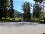 2
2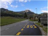 3
3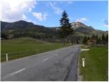 4
4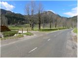 5
5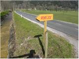 6
6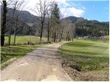 7
7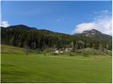 8
8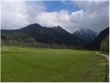 9
9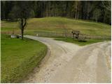 10
10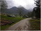 11
11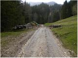 12
12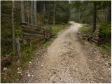 13
13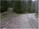 14
14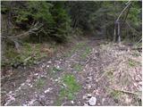 15
15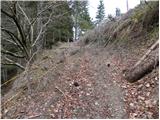 16
16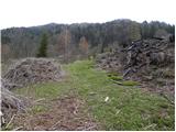 17
17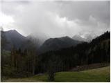 18
18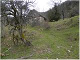 19
19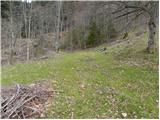 20
20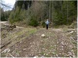 21
21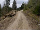 22
22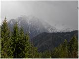 23
23 24
24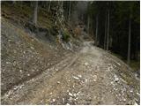 25
25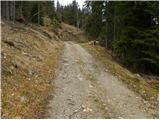 26
26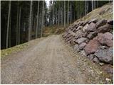 27
27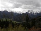 28
28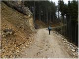 29
29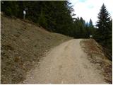 30
30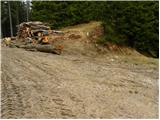 31
31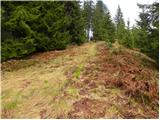 32
32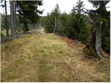 33
33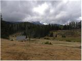 34
34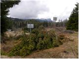 35
35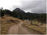 36
36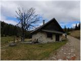 37
37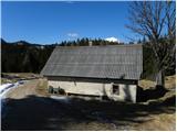 38
38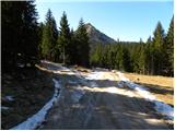 39
39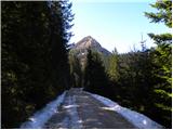 40
40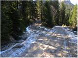 41
41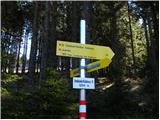 42
42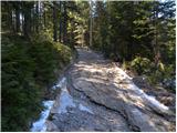 43
43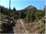 44
44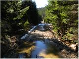 45
45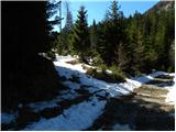 46
46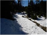 47
47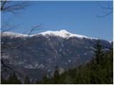 48
48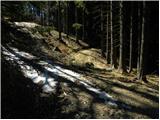 49
49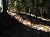 50
50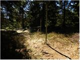 51
51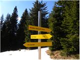 52
52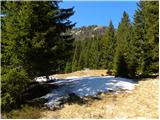 53
53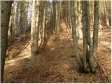 54
54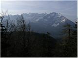 55
55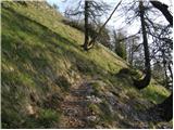 56
56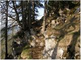 57
57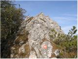 58
58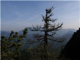 59
59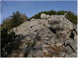 60
60 61
61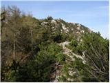 62
62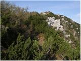 63
63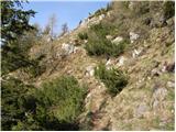 64
64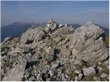 65
65 66
66
Discussion about the trip Planšarsko jezero - Virnikov Grintovec
To post a comment you must log in:
If you do not yet have a username, you must first
register.