Poljšica pri Gorjah (Zatrata) - Galetovec (on footpath)
Starting point: Poljšica pri Gorjah (Zatrata) (660 m)
| Latitude/Longitude: | 46,37110°N 14,06940°E |
| |
Route name: on footpath
Walking time: 2 h 35 min
Difficulty: easy unmarked way
Elevation gain: 605 m
Elevation difference along the route: 665 m
Map: TNP 1:50.000
Recommended equipment (summer):
Recommended equipment (winter): ice axe, crampons
Views: 1.140
 | 1 person like this post |
Access to starting point:
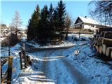
A) We drive to Bled, and then continue driving in the direction of Pokljuka. When we arrive in Zgornje Gorje, at the junction by the church we turn left in the direction of Poljšica. Further on, we drive along a narrow road past the church, and then at the nearby junction past the chapel to the right. A little further, at the next junction we go left in the direction of Poljšica, and when we arrive in the mentioned settlement, at the first junction we go right, then after about 10 meters left in the direction of the hamlet Zatrata. We park in a suitable place at the start of the mentioned hamlet, where we notice the signs for Riklijeva pot, which branches off from the road to the right.
B) We leave the Gorenjska motorway at the Lipce exit, and then follow the signs for the settlement Kočna and later Spodnje Gorje. In Spodnje Gorje we join the road from Bled, but we continue in the direction of Pokljuka. When we arrive in Zgornje Gorje, at the junction by the church we turn left in the direction of Poljšica. Further on, we drive along a narrow road past the church, and then at the nearby junction past the chapel to the right. A little further, at the next junction we go left in the direction of Poljšica, and when we arrive in the mentioned settlement, at the first junction we go right, then after about 10 meters left in the direction of the hamlet Zatrata. We park in a suitable place at the start of the mentioned hamlet, where we notice the signs for Riklijeva pot, which branches off from the road to the right.
Route description:
From the starting point, where there is also a smaller junction of several roads, we continue in the direction of Riklijeva pot, whose signs direct us slightly to the right onto a narrower macadam road that gently ascends along the pasture fence. At first, a beautiful view opens up towards the Karawanks, then the road turns left and after a short ascent temporarily descends. In a small valley we leave the poorer road and continue the ascent to the left on a cart track in the direction of Riklijeva pot. We continue along the cart track, which continues through the forest; at junctions we follow the signs for Riklijeva pot. Higher up, a nice view opens up on the Kamnik Savinja Alps, and the path then returns to the forest and gradually brings us to a forested ridge. Along the ridge we first ascend, then descend along it to a forest road, which we follow in the direction of the mountain pasture Rčitno.
Further on, as we walk along the road, we are also accompanied by Knafelc blazes. A fairly gentle road that for some time runs through a small valley, higher up turns right and becomes steeper and increasingly similar to a wide cart track. During the ascent along the poorer road, some views temporarily open up in the direction of Galetovec, and when the path returns to dense forest, it also branches.
We continue straight along the wider marked path (poorer road) (along the path to the right, alongside which some faded blazes can be noticed, it is possible to reach Hotunjski vrh), alongside which we soon notice signs that we have arrived at Rčitno, but at first we are still in the forest. When we leave the forest we reach Rčitno, where a few huts stand.
In the middle of the lower part of the mountain pasture we continue left in the direction of Bohinjska Bela and along the road, which soon turns into a cart track, ascend moderately to the upper southern edge of the mountain pasture, where we continue right (straight Bohinjska Bela) past the hut into the forest. In the forest we quickly notice signs for Pokljuka, but we ascend transversely to a forest road, which we follow sharply to the left (slightly to the right the marked path towards Pokljuka continues).
A little further a nice view opens up on Lake Bled, and the road further on mainly ascends gently to moderately. When the road brings us to a meadow after a longer right bend, we leave it still before the feeding trough and continue right onto an often quite rutted cart track. At the first junction of cart tracks we choose the left one, at the second the right branch, in both cases the wider cart track. When the cart track, or rut, levels out, slightly to the left of the cart track we notice a path that continues parallel above the cart track. Some 10 steps further, another path joins us from the right, which branches off from the cart track a little further on, and we continue along the path that runs through the forest to a small saddle, where we join another cart track, along which we quickly ascend to a macadam road, which we follow to the left. While walking along the road, a marked path from Bohinjska Bela - the path over Slamniki - joins from the left.
Here, a few steps further, just a little before the NOB memorial, a path branches off straight ahead or slightly to the left to the Turn (1249 m), a few minutes away, but we continue right along the marked path, which continues along the road.
At the next junction, located not far away, we leave the road and continue left along the path in the direction of Galetovec (straight Belska planina).
The path ahead leads us along a pleasant cart track, which we leave after a few minutes, as the signs for Galetovec direct us left onto an initially barely noticeable path that descends along the edge of the forest to a small valley, where it enters the forest. Through the forest we follow the blazes and the forest path, along which we ascend to the panoramic summit in a few minutes.
Starting point - Rčitno 1:00, Rčitno - Galetovec 1:35.

Along the route: Križi (790m), Planina Rčitno (900m)
Photos:
 1
1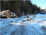 2
2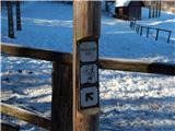 3
3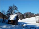 4
4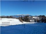 5
5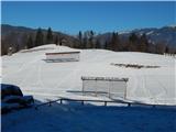 6
6 7
7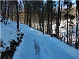 8
8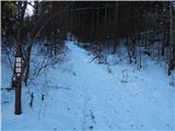 9
9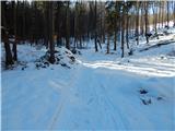 10
10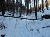 11
11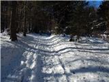 12
12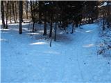 13
13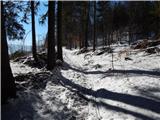 14
14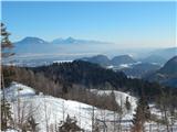 15
15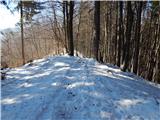 16
16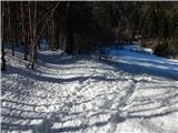 17
17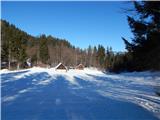 18
18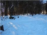 19
19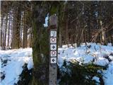 20
20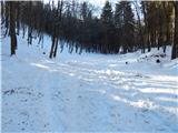 21
21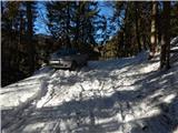 22
22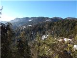 23
23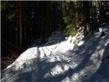 24
24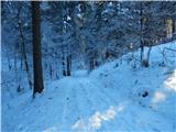 25
25 26
26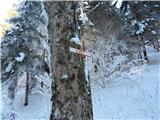 27
27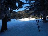 28
28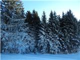 29
29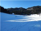 30
30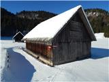 31
31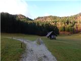 32
32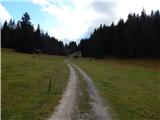 33
33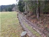 34
34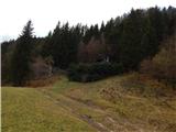 35
35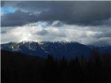 36
36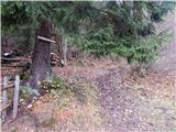 37
37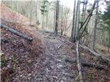 38
38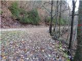 39
39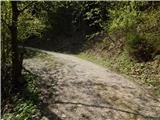 40
40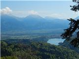 41
41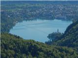 42
42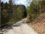 43
43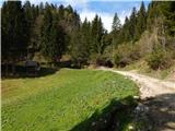 44
44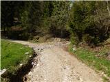 45
45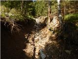 46
46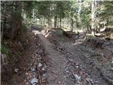 47
47 48
48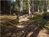 49
49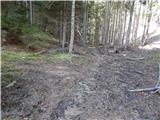 50
50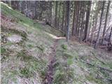 51
51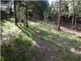 52
52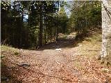 53
53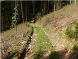 54
54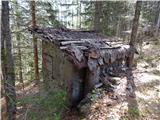 55
55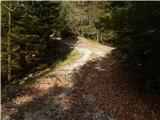 56
56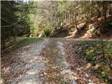 57
57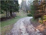 58
58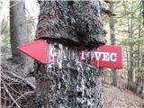 59
59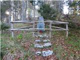 60
60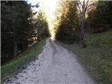 61
61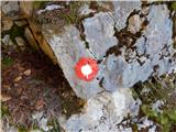 62
62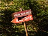 63
63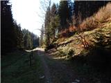 64
64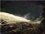 65
65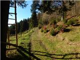 66
66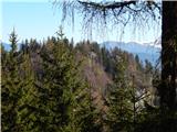 67
67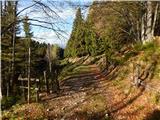 68
68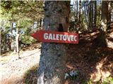 69
69 70
70 71
71 72
72 73
73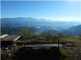 74
74 75
75
Discussion about the trip Poljšica pri Gorjah (Zatrata) - Galetovec (on footpath)
To post a comment you must log in:
If you do not yet have a username, you must first
register.