Ponikva pri Žalcu - Pogorišče (ob Ponikvici)
Starting point: Ponikva pri Žalcu (408 m)
Starting point Lat/Lon: 46.3115°N 15.1464°E 
Path name: ob Ponikvici
Time of walking: 47 min
Difficulty: easy unmarked way
Difficulty of skiing: no data
Altitude difference: 4 m
Altitude difference (by path): 85 m
Map:
Access to starting point:
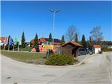
We exit the Styrian motorway at the Arja vas exit, then follow the road towards Velenje. At the end of the settlement Velika Pirešica we leave the main road towards Velenje and continue driving left onto the side road in the direction of Ponikva pri Žalcu. We continue along a somewhat narrower and mostly ascending road until we reach the fire station in Ponikva pri Žalcu, where we park at one of the nearby arranged parking lots.
There are also some parking possibilities near the church sv. Pankracija and by the cemetery.
Path description:
From the fire station we first walk to the church sv. Pankracija, where we continue on the left side of the church (on the right side leads the marked path to Apno), where the path leads us past a few houses, the branch primary school and the kindergarten under construction to the chapel where we arrive at the intersection.
We continue left (right is the drivable road towards Jama pekel) and then immediately right, so that we go along the Banovšek farm. This is followed by some descent, at the last house we go onto the arranged path, along which we walk to the nearby spring.
From the spring we return to the road bend, then we continue along Ponikvica downstream, the path leads us along the left bank of the stream. In places a somewhat less visible trail leads us past a few smaller springs, when the little valley widens we reach a cart track, which we do not continue as we continue to follow the left bank, the only difference is that the path moves a bit higher onto the slope above the stream, where we first climb over a short steep slope, where there is an increased risk of slipping especially when wet, otherwise the mentioned part is quite short. Above the steep part we reach another cart track, which descends parallel to the stream to the nearby asphalt road, when we reach the asphalt road we go right and walk along it to the bridge over Ponikvica. Here we leave the road and in a few dozen steps we walk to the sinkhole, where if we approach the edge there is a great risk of slipping.
From the sinkhole we return to the road and continue along it further or towards the southwest, where at the nearby intersection we reach the marked path.
Here we go left and in a few steps we arrive at Izvir Ločanke.
We continue along the marked path, which leads further south and leads us along a wider cart track, from which we soon go right onto a narrower cart track, which a little further enters the forest and begins to ascend moderately. Through the forest we follow the sparse markings, when the path levels out we go right and quickly arrive at the registration box on Pogorišče.
Starting point - Požiralnik Ponikvice 0:30, Požiralnik Ponikvice - Izvir Ločanke 0:02, Izvir Ločanke - Pogorišče 0:15.
The description and pictures refer to the state of February 2026.
Pictures:
 1
1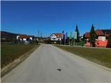 2
2 3
3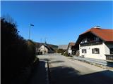 4
4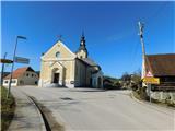 5
5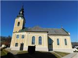 6
6 7
7 8
8 9
9 10
10 11
11 12
12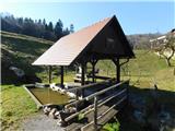 13
13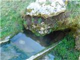 14
14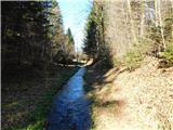 15
15 16
16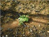 17
17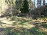 18
18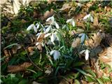 19
19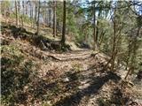 20
20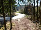 21
21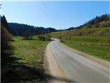 22
22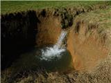 23
23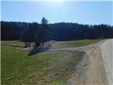 24
24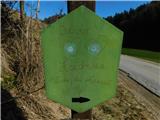 25
25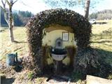 26
26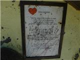 27
27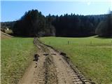 28
28 29
29 30
30 31
31 32
32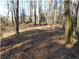 33
33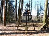 34
34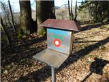 35
35