Pri Žagi (Javorniški Rovt) - Velika Boncla
Starting point: Pri Žagi (Javorniški Rovt) (885 m)
| Latitude/Longitude: | 46,45390°N 14,09750°E |
| |
Walking time: 1 h
Difficulty: easy unmarked way
Elevation gain: 356 m
Elevation difference along the route: 356 m
Map: Karavanke - osrednji del 1:50.000
Recommended equipment (summer):
Recommended equipment (winter): ice axe, crampons
Views: 2.752
 | 3 people like this post |
Access to starting point:
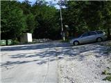
From the highway Ljubljana - Jesenice, take the exit Lipce (Jesenice east), where we turn right towards Jesenice. At the first traffic-light intersection (settlement Slovenski Javornik), we turn right (direction Ljubljana) towards Koroška Bela; at the next intersection with traffic lights, turn left, and soon once again left towards Javorniški Rovt (right Koroška Bela). After a few kilometers of uphill driving, we arrive at the mentioned village; in the second sharp left turn, we encounter the right turn-off of the macadam road towards the mountain hut Dom Trilobit (sign). Right before that spot, on the right, there is a smaller parking lot - our starting point.
Route description:
From the starting point, we continue a few meters on macadam, then notice directional signs with inscriptions Valvazor and Gajškova pot. Here we go right, but do not continue following the blazes (right over the bridge), instead straight uphill on the cart track. Soon we reach the next bridge, where we cross the stream, and the path (cart track) turns left uphill. For the next 15 minutes of walking, we follow the main cart track, which means ignoring all turn-offs. On the left side of the path, we will twice notice the sign "Dom Trilobit".
Then, when the path ascends somewhat steeper, we come to a fork in the cart track, where we go right (left path to mountain pasture Stamare). The cart track now turns increasingly right, first steeply ascends, then briefly flattens, and rises again slightly towards the flatter section (saddle) between both Bonclas. Here we continue on the cart track past the indistinct eastern ridge of Mala Boncla, located on our right. The path winds a little and simultaneously rises quite quickly again, first gently and then steeper. We walk on or right beside the steep cart track. Higher up, the path leads us to a fork in the cart track, where we go right towards the open part of the forest. When the path nearly flattens, we spot a small rovt with a hut, but do not continue there; instead, we turn perpendicularly right into the forested slope, where we notice a path (some remnants of a cart track) heading slightly right, i.e., westward. After a short easy ascent, we reach the summit or edge of the south, partly rocky slope of Velika Boncla, where we find a dilapidated bench. For the view towards the valley, we must cross a small valley and a small ridge on the right, and carefully descend further to the edge of the cliffs, where nice and interesting views open in various directions.

Along the route: Mala Boncla (1131m)
Photos:
 1
1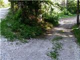 2
2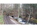 3
3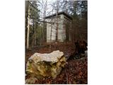 4
4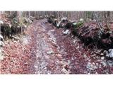 5
5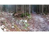 6
6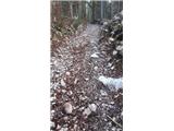 7
7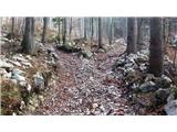 8
8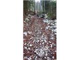 9
9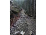 10
10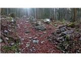 11
11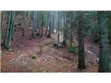 12
12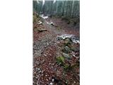 13
13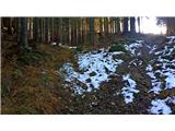 14
14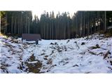 15
15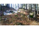 16
16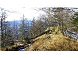 17
17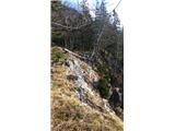 18
18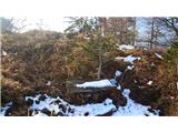 19
19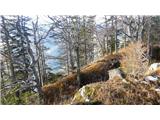 20
20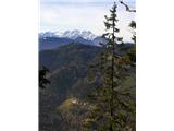 21
21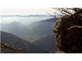 22
22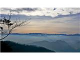 23
23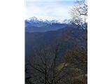 24
24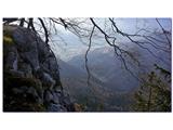 25
25
Discussion about the trip Pri Žagi (Javorniški Rovt) - Velika Boncla
To post a comment you must log in:
If you do not yet have a username, you must first
register.