Ravenska Kočna - Grintovec (via Štularjeva planina and on path Frischaufova pot)
Starting point: Ravenska Kočna (980 m)
Starting point Lat/Lon: 46.3892°N 14.5319°E 
Path name: via Štularjeva planina and on path Frischaufova pot
Time of walking: 5 h 30 min
Difficulty: very difficult marked way
Difficulty of skiing: no data
Altitude difference: 1578 m
Altitude difference (by path): 1578 m
Map: Kamniške in Savinjske Alpe 1:50.000
Access to starting point:
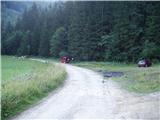
From highway Ljubljana - Jesenice we go to the exit Kranj - vzhod and follow the road ahead in the direction of Jezersko. In Zgornje Jezersko only a little behind the gas station, we will notice a road which from the main road branches off to the right (direction lake Planšarsko jezero). The road then leads us past the mentioned lake and behind it for a short time steeply ascends. Higher, the road flattens and at the beginning of a large meadow loses an asphalt covering. At the end of the a meadow is a smaller parking lot by the road, where we park.
Path description:
Near the parking lot, we notice signs for mountain hut Češka koča. Cart track quickly brings us into the forest, where it is only barely ascending. After few minutes walk we come to a crossing, where we continue on the right more steep cart track. Which quickly changes into a steep footpath which is ascending by the torrent upwards. A little higher, the path crosses a torrent and continues to ascend nearby. The steepness then decreases and the path brings us on abandoned mountain pasture Štularjeva planina.
The path then goes again in the forest and from the left joins the path from bottom station of a cargo cableway. Only few ten meters ahead from the right joins the path from neighbouring valley Makekova Kočna. After that, the path passes out of the forest on steep slopes, which are very well secured. Also without fixed safety gear path isn't very difficult. The more and more scenic path then over a ladder soon brings us into a valley Mrzla dolina. Here through an indistinct small valley cold air is descending. In the morning we can notice, that on this spot is a little colder (in windy weather there is no difference). Further, follows only few minutes of easy walking to the mountain hut Češka koča.
From the mountain hut, we continue right on the path in the direction of Kočna, Grintovec and Vratca (left mounain hut Kranjska koča through Žrelo). After a short ascent, we come on flat ground with sign H (intended for landing a helicopter). The path ahead runs on at first gentle scree, which is partly covered with dwarf pines. In the lower part of the scree path on Vratca branches off to the right, and we continue straight in the direction of Kočna and Grintovec. After approximately half an hour of walking from the mountain hut, we come to the next crossing. We continue on the left path in the direction of Grintovec (right Kočna) on the path which quickly brings us to the beginning of the wall. Here we put on a helmet and we start climbing part of the path. Climbing at first isn't difficult, but ascent dangerous because of the gravel on the path (dangerous for slipping). Mountain wall on which we are ascending then becomes steeper, fixed safety gear are more and more frequent. Next follows climbing on natural passages through grooves, gullies and ledges. All the time of the ascent beautiful views are opening up on Jezersko and surrounding peaks. After a little less than two hours of "climbing" we step exit the wall and step on a saddle Mlinarsko sedlo, from where a view opens up towards the south. Here we are at the crossing, where we go right (left Dolgi hrbet and Skuta, straight downwards bivouac Bivak pod Grintovcem) and ahead we walk on and by at first not exposed ridge. After that, the path passes on a shady side of the ridge, where again becomes harder, but we get help from numerous fixed safety gear. The path which is still exposed to falling stones after approximately 1 hour of walking from the saddle Mlinarsko sedlo brings us to the summit.
Ravenska Kočna - Češka koča 1:30, Češka Češka koča - Mlinarsko sedlo 2:45, Mlinarsko sedlo - Summit 1:00.
Pictures:
 1
1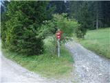 2
2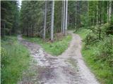 3
3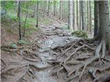 4
4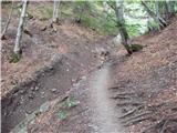 5
5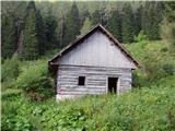 6
6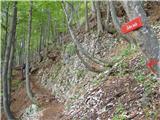 7
7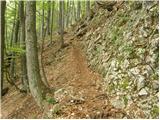 8
8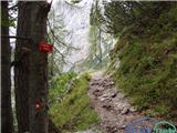 9
9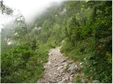 10
10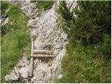 11
11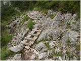 12
12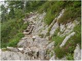 13
13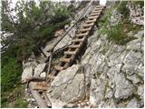 14
14 15
15 16
16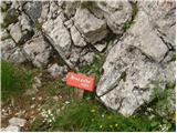 17
17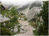 18
18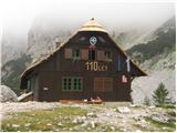 19
19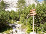 20
20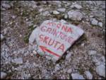 21
21 22
22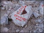 23
23 24
24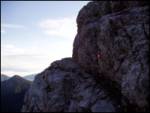 25
25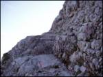 26
26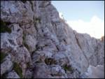 27
27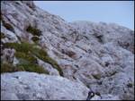 28
28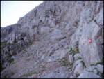 29
29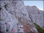 30
30 31
31 32
32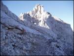 33
33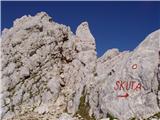 34
34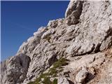 35
35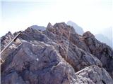 36
36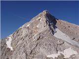 37
37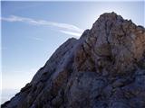 38
38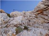 39
39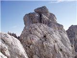 40
40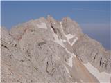 41
41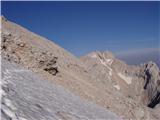 42
42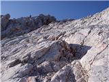 43
43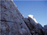 44
44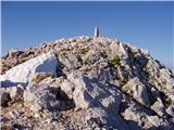 45
45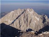 46
46