Ribnica (Lepovče) - Grmada on Mala gora (via Stene Svete Ane)
Starting point: Ribnica (Lepovče) (489 m)
Starting point Lat/Lon: 45.7446°N 14.7363°E 
Path name: via Stene Svete Ane
Time of walking: 3 h 50 min
Difficulty: easy marked way
Difficulty of skiing: no data
Altitude difference: 398 m
Altitude difference (by path): 625 m
Map:
Access to starting point:
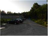
A) From Ljubljana, we drive towards Kočevje, and then at the beginning of Ribnica we turn slightly left in the direction of industrial zone Lepovče. For some time we drive through the zone, and then we turn left towards the nearby forest or road which leads towards Mala gora and a landfill. We park at the end of the industrial zone on an appropriate place.
B) From Kočevje we drive towards Ljubljana, after we get to Ribnica we turn right towards the industrial zone Lepovče. Behind the railway track we continue straight, and then before the road passes into the forest we park on an appropriate place by the end of the industrial zone.
Path description:
From the starting point, we continue on the road in the direction of Sveta Ana and TIGR, and we walk there only few minutes because then signs for Sveta Ana point us to the left on a gentle path, by which we further notice numerous sign of Ribnica natural path (Ribniška naravoslovna pot). The further path is mostly ascending gently, only for a short time it descends to a macadam road which we follow to the left to the nearby caving hut (jamarski dom).
From the hut, by which there is the cave Francetova jama we continue on a marked path in the direction of Sveta Ana. The path ahead becomes a little steeper and crosses a road which leads towards a smaller hamlet (on the map is marked as homestead Seljan). Above the road, the path leads us through a meadow and a lane of bushes to the before mentioned hamlet, where we continue right in the direction of the gentle path. After that, the path gradually passes into the forest and leads us past several well-marked crossings. Next follows approximately 20 minutes of a little steeper ascent and from the right joins the path from Steljnik, Črni vrh and Makoše. Few steps higher we get to the church of St. Ana, from which a beautiful view opens up towards Ribnica and Velika gora.
From the church, we descend towards the nearby mountain hut, which we reach after less than a minute of additional walking.
On the other side of the mountain hut and a little below it we find the continuation of the mountain path towards Grmada and Stene svete Ane. The path ahead for a short time continues on the left side of the forested ridge and then gradually passes on the right side, where we cross slopes to the nearby crossing.
From the crossing, we continue left (straight - Grmada and viewpoint, right - Struge) and in a minute we ascend to the summit which is overgrown by bushes.
From the top, we return to the last crossing, and from there we continue in the direction of Grmada. Few 10 meters further we get to the next crossing, where in the direction of straight continues the path to the near vantage point (worth seeing, because the view opens up, which reaches all the way to Kamnik and Savinja Alps), and we continue left in the direction of Grmada. After few steps of a light ascent, the path passes on a slope, on which it starts descending steeply. After few minutes, we step on a cart track which we follow to the right, and there we descend to a smaller valley, where the path gradually turns to the left side. For a short time, we walk past a site of wild garlic, and then blazes from the cart track point us to the right on a marked footpath which then gradually descends to a bad forest road. On the road, we quickly descend to a wider macadam road which leads from Ribnica towards Velike Poljane, and we follow it to the right and we start ascending there. After few minutes of the ascent, we reach a small saddle between Špičnik (926 meters) on the left and Tisovec (931 meters) on the right.
From the saddle ahead, the road starts moderately descending and a little lower brings us to a crossroad, where we continue on the left bottom road (on the right road we can get to Kompolje or Rapljevo).
From the crossroad, we walk on the road for quite some time, and then we notice signs for Grmada, which point us to the right on an ascending cart track. Through the forest, we follow the blazes, and after few minutes we reach another cart track, and there we walk only for a short time because then signs lead slightly right on a little poorly beaten footpath. Further, we for some time cross slopes below Vrbovec, and then the path widens into a cart track, on which we quickly get to an asphalt road which leads from Ortnek towards Grmada. On the road with nice views, which reach all the way to Snežnik we ascend at first to the spot, where from the left joins a marked footpath from Ortnek, and few steps ahead also to a bigger chapel, by which there is a smaller crossroad.
From the crossroad, we continue straight on the asphalt road, on which we quickly get to the settlement Vrh pri Poljanah. After the short settlement, on a large parking lot the asphalt ends, and we continue on the macadam road, on which in few minutes we get to the hut Turistični dom na Grmadi, from where a nice view opens up also towards the southeast and south.
Lepovče - Koča pri Sveti Ani 1:15, Koča pri Sveti Ani - Stene Svete Ane 20 minutes, Stene Svete Ane - Grmada 2:15.
Pictures:
 1
1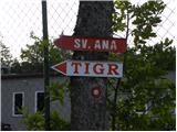 2
2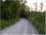 3
3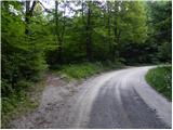 4
4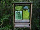 5
5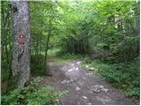 6
6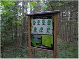 7
7 8
8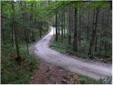 9
9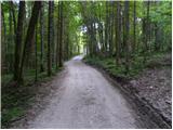 10
10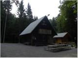 11
11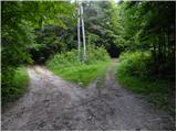 12
12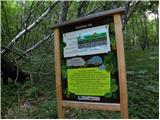 13
13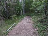 14
14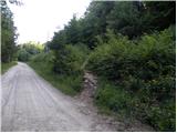 15
15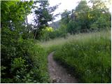 16
16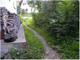 17
17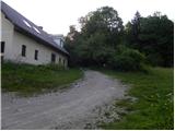 18
18 19
19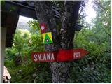 20
20 21
21 22
22 23
23 24
24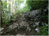 25
25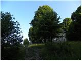 26
26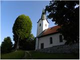 27
27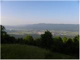 28
28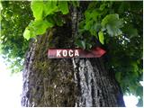 29
29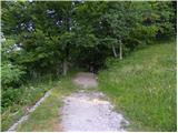 30
30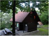 31
31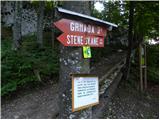 32
32 33
33 34
34 35
35 36
36 37
37 38
38 39
39 40
40 41
41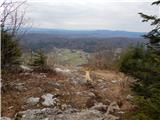 42
42 43
43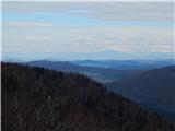 44
44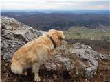 45
45 46
46 47
47 48
48 49
49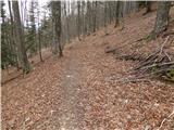 50
50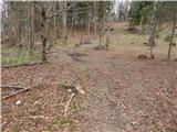 51
51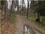 52
52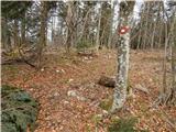 53
53 54
54 55
55 56
56 57
57 58
58 59
59 60
60 61
61 62
62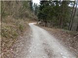 63
63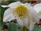 64
64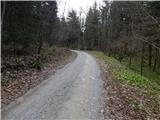 65
65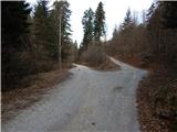 66
66 67
67 68
68 69
69 70
70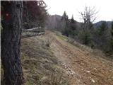 71
71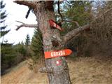 72
72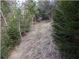 73
73 74
74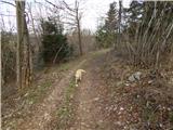 75
75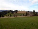 76
76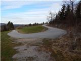 77
77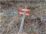 78
78 79
79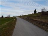 80
80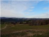 81
81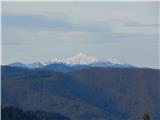 82
82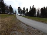 83
83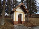 84
84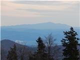 85
85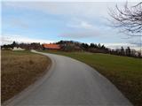 86
86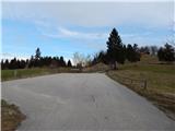 87
87 88
88 89
89 90
90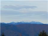 91
91 92
92 93
93 94
94 95
95