Starting point: Seichenbrunn (1668 m)
Starting point Lat/Lon: 46.91536°N 12.77544°E 
Time of walking: 3 h
Difficulty: easy marked way
Difficulty of skiing: no data
Altitude difference: 903 m
Altitude difference (by path): 930 m
Map:
Access to starting point:
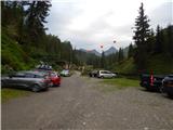
Through the Karawanks Tunnel, we drive to Austria, and then we continue driving towards Spittal and forward towards Lienz (a little after Spittal highway ends). Further, we drive on a relatively nice and wide road through Drau valley. A little before Lienz at the roundabout, we continue right towards the settlement Iselsberg and Winklern. The road starts ascending, and then we have to pay attention because the road soon branches off to the left towards the valley Debanttal (green sign). The road towards the valley Debanttal becomes a macadam, and later joins a bit nicer road from the settlement Nußdorf-Debant. When driving through the valley Debanttal we then follow the signs for mountain hut Lienzer Hütte and Wangenitzseehütte. We follow the road all the way to a gate where we park on a large parking lot (Parkplatz Seichenbrunn).
Path description:
From the parking lot, we continue on a macadam road which is closed for traffic. Already after few ten meters, we come to a marked crossing where right over a bridge path towards the mountain hut Wangenitzseehütte branches off. At the crossing, we continue ahead on a macadam road following the signs »Lienzer Hütte«. Soon after that also a learning path branches off to the right towards the mountain hut Lienzer Hütte. This path is half an hour longer than on the road. We still continue on a macadam road, that runs left from the stream Debantbach. The road is all the time slightly ascending and few times crosses a grazing fence. Because in the summer months by the road livestock is grazing. The road then leads us past a smaller cottage by mountain pasture Gaimbergalm. Further, we also few times cross smaller tributaries of the already mentioned stream Debantbach. And a little higher the road brings us to a crossroad.
To the right leads the road to the mountain pasture Hofalm to which is only 100 meters. At the crossroad, we still continue straight on the road towards the mountain hut Lienzer Hütte from which we have an increasingly beautiful view on peaks above the valley Debanttal. Shortly before the hut, we come to another marked crossing.
This time footpath branches off to the left towards the ski slope Zettersfeld, and we continue on the road and we soon come to the hut Lienzer Hütte from which there is a nice view towards the surrounding peaks.
At the mountain hut, we continue left past children's playground and a cross and already after few ten meters, we get to a marked crossing. Left leads the path towards the notch Mirnitzscharte and summit Alkuser Rotspitze, and we continue right following the signs »Hochschober, Leibnitztörl«.
The path from the crossing runs towards the northwest by rare trees. The further path is then ascending by terrain vegetated with grass and low bushes. We soon also enter into the main part of national park High Tauern (Nationalpark Hohe Tauern). The path then brings us to another crossing.
Right at first downwards path branches off towards the summit Glödis, and we continue straight towards the saddle Leibnitztörl. From the crossing, the path runs towards the west, slowly turns slightly to the left and then it is ascending a little steeper by the stream upwards. A little higher, the path turns to the right, it crosses the mentioned stream and brings us on a little less steep slopes. Not that steep path then soon again crosses the stream and leads us past a smaller lake. The path then soon starts again a little steeper ascending and it brings us to a marked crossing.
This time path towards the summit Hochschober and saddle Schobertörl branches off to the right, and we continue left towards the saddle Leibnitztörl. From the crossing, the path in a gentle ascent crosses a slope towards the south and it quickly brings us to the mentioned saddle. From the saddle, only a short descent follows to scenic lake Gartlsee from which there is a very nice view towards the surrounding peaks.
On the way: Gaimbergalm (1753m), Lienzer Hütte (1977m), Leibnitztörl (2591m)
Pictures:
 1
1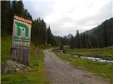 2
2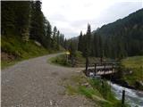 3
3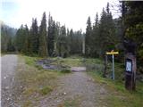 4
4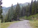 5
5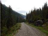 6
6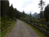 7
7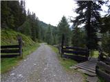 8
8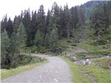 9
9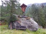 10
10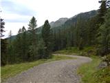 11
11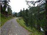 12
12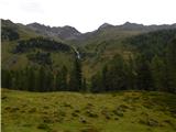 13
13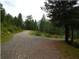 14
14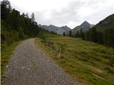 15
15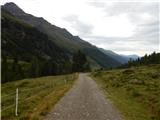 16
16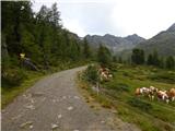 17
17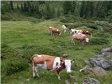 18
18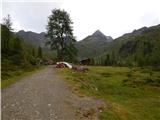 19
19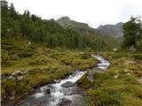 20
20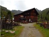 21
21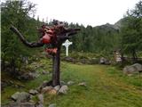 22
22 23
23 24
24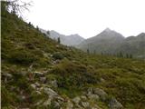 25
25 26
26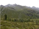 27
27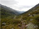 28
28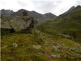 29
29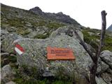 30
30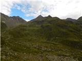 31
31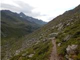 32
32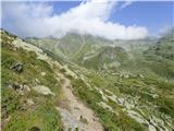 33
33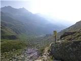 34
34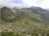 35
35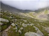 36
36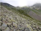 37
37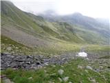 38
38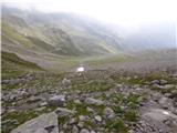 39
39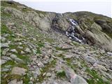 40
40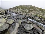 41
41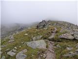 42
42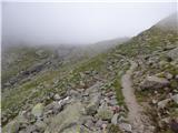 43
43 44
44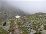 45
45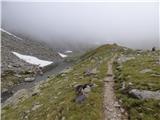 46
46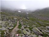 47
47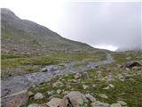 48
48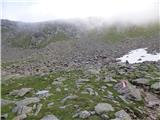 49
49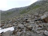 50
50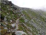 51
51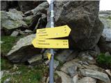 52
52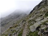 53
53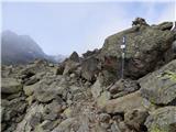 54
54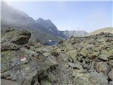 55
55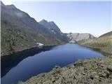 56
56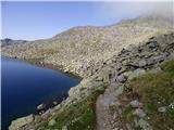 57
57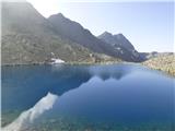 58
58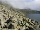 59
59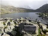 60
60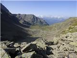 61
61