Škofja Loka - Lubnik (via Stari grad)
Starting point: Škofja Loka (348 m)
| Latitude/Longitude: | 46,16690°N 14,30900°E |
| |
Route name: via Stari grad
Walking time: 2 h 15 min
Difficulty: easy marked way
Elevation gain: 677 m
Elevation difference along the route: 715 m
Map: Škofjeloško in Cerkljansko hribovje 1:50.000
Recommended equipment (summer):
Recommended equipment (winter): crampons
Views: 55.264
 | 3 people like this post |
Access to starting point:
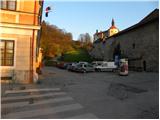
From Ljubljana, Kranj or Gorenje vas we drive to Škofja Loka and park at one of the parking lots near Loški grad.
Route description:
From the starting point, we first walk to Loški grad, then continue the ascent along a marked and initially still asphalted road. The road soon loses its asphalt surface and leads us to scenic grassy slopes. With ever better views of Lubnik, Škofja Loka and Kamniško Savinjske Alpe, after a few minutes of further walking we reach the viewpoint platform at Kranclje.
From the viewpoint platform, the road descends to the Grebenar farmstead, from where we continue the ascent along a gravel road towards Lubnik. After a short ascent, we enter the forest, where the road turns into a cart track. A few minutes of walking through the forest follow, then the path descends to the nearby road leading from Škofja Loka towards Gabrovo and Breznica.
We reach the road right at a hairpin bend, where there are some parking spots, but we continue the path to the right towards Stari grad (straight along the road Lubnik via Gabrovo, straight along the footpath Lubnik via Luža).
We continue along the cart track that crosses the slopes to the right, then turns left and leads us to a viewpoint over Kamniško Savinjske Alpe. A short descent follows, then the path turns right across a gully, from which we quickly ascend to a marked junction. Here we continue right towards Stari grad, which is just a few minutes' walk away.
From the castle we return to the junction, then continue towards Lubnik. The path further crosses a clearing, then enters the forest, where it turns right and begins to ascend more steeply. After a few minutes, the gradient eases and we join the path via Luža.
We continue right, and the path leads us from the forest onto a grassy slope from which a beautiful view opens up. The path further crosses a short stretch of forest and then brings us to a wide cart track, along which we walk to the village of Gabrovo. Through the village we follow the markers, which first take us along an asphalt road, then a gravel road. Above the village, the path leaves the road and turns slightly right into the forest, through which it begins to ascend steeply. Higher up, the path gradually levels out and eventually joins a wide cart track, which the marked path crosses several times. A few more minutes of walking follow, and the path, ascending moderately to steeply, quickly brings us to the summit of Lubnik.

Photos:
 1
1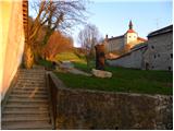 2
2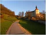 3
3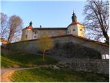 4
4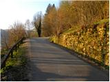 5
5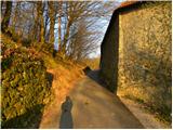 6
6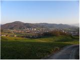 7
7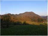 8
8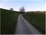 9
9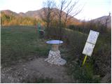 10
10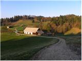 11
11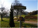 12
12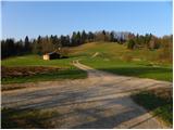 13
13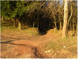 14
14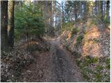 15
15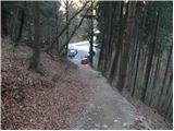 16
16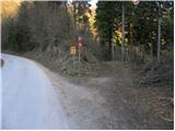 17
17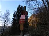 18
18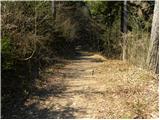 19
19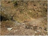 20
20 21
21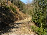 22
22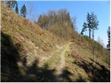 23
23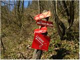 24
24 25
25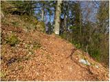 26
26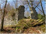 27
27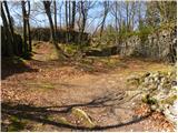 28
28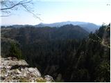 29
29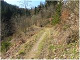 30
30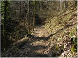 31
31 32
32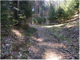 33
33 34
34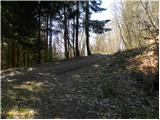 35
35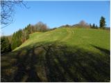 36
36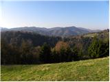 37
37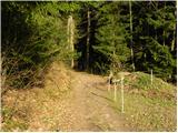 38
38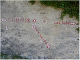 39
39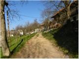 40
40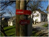 41
41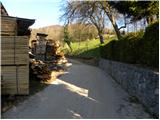 42
42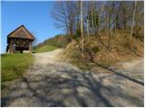 43
43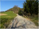 44
44 45
45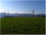 46
46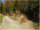 47
47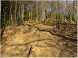 48
48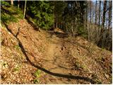 49
49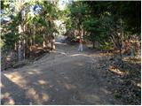 50
50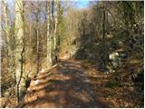 51
51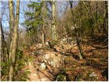 52
52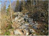 53
53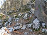 54
54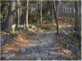 55
55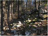 56
56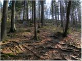 57
57 58
58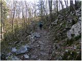 59
59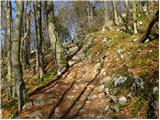 60
60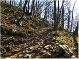 61
61 62
62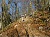 63
63 64
64 65
65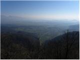 66
66 67
67
Discussion about the trip Škofja Loka - Lubnik (via Stari grad)
|
| Enka12. 04. 2011 |
We returned from Lubnik along this path. Stari grad is really worth a visit!
|
|
|
|
| ljubitelj gora25. 01. 2013 |
If someone is not interested in the castle and wants to start a bit higher, drive towards Poljanska dolina. Just outside Škofja Loka the road branches off to Gabrovo village. After about a kilometer at the sharp bend there is a parking lot and a bit further signposts for Lubnik.
|
|
|
To post a comment you must log in:
If you do not yet have a username, you must first
register.