Starting point: Soriška peč (1207 m)
| Latitude/Longitude: | 46,23690°N 14,02150°E |
| |
Walking time: 35 min
Difficulty: easy unmarked way
Elevation gain: 101 m
Elevation difference along the route: 135 m
Map: Škofjeloško in Cerkljansko hribovje 1:50.000
Recommended equipment (summer):
Recommended equipment (winter): ice axe, crampons
Views: 2.260
 | 1 person like this post |
Access to starting point:
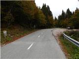
A) From Podrošt or Petrovo Brdo we drive to Sorica, and from there we continue driving towards Soriška planina. When we get to the road sign 6 km, a little before the cross on the left we will notice a cross, and a few meters further on the right an appropriate place where we park.
B) We drive to Bohinjska Bistrica, and then we continue driving in the direction of Tolmin and Soriška planina. When we get to a large parking lot by the ski slope Soriška planina, we start descending towards Sorica. After approximately 1 km of descent, we will get to a more distinct right turn, in the middle of which a marked path branches off to the left to Ratitovec, and we park here on an appropriate place by the crossroad, on the left side of the main road.
Route description:
From the starting point, we continue on a marked path in the direction of Ratitovec. We at first walk on a cart track, and on the left we quickly notice a bigger house, which we bypass on the right side. A little further also a short footpath branches off to the right towards the hunting cottage, and we continue on a cart track which ascends a little and then it flattens and crosses slopes north from the peak Tonderškofel. On a marked path towards Ratitovec we walk for few minutes, and when we reach the macadam road, we continue right downwards, on further unmarked path. On the road, we descend to the first left turn, and from the mentioned turn we continue right, on a cart track which then crosses slopes towards the left. On the mentioned cart track we continue to its end, where we continue right on a followable footpath, on which in a minute or two, we ascend on panoramic Erbelc.
Description and pictures refer to a condition in the year 2016 (October).
Photos:
 1
1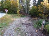 2
2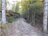 3
3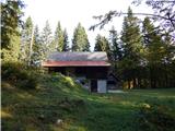 4
4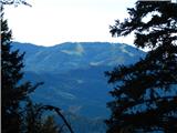 5
5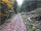 6
6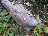 7
7 8
8 9
9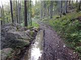 10
10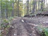 11
11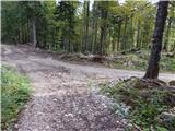 12
12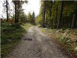 13
13 14
14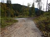 15
15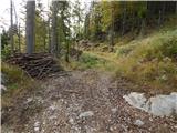 16
16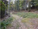 17
17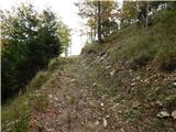 18
18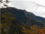 19
19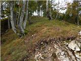 20
20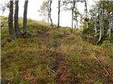 21
21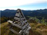 22
22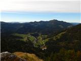 23
23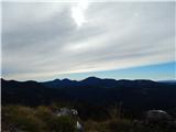 24
24
Discussion about the trip Soriška peč - Erbelc
|
| maks577. 11. 2022 17:22:15 |
Come on, locals! Would it really be that hard to paint some red lines marking the path?
|
|
|
|
| georgia9. 11. 2022 21:24:12 |
I like that it's (still) not marked and therefore has little traffic, the summit is usually deserted. The path is clearly described here, so it's really no problem to find it. The path from Rotke is also described. We're not locals, but my husband and I have discovered all the paths to Erblc. Great viewpoint, we recommend it! 
|
|
|
To post a comment you must log in:
If you do not yet have a username, you must first
register.