Starting point: Stahovica (443 m)
Starting point Lat/Lon: 46.2668°N 14.6036°E 
Time of walking: 2 h
Difficulty: partly demanding marked way
Difficulty of skiing: no data
Altitude difference: 816 m
Altitude difference (by path): 816 m
Map: Kamniške in Savinjske Alpe 1:50.000
Access to starting point:
In Kamnik we continue towards Kamniška Bistrica. After the village Godič we come to Stahovica, where we park. We can come also with a bus, which drives from Ljubljana or from Kamnik.
Path description:
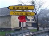
In Stahovica we go over a bridge, which is about 50 meters before the crossroad and the bus stop, on the asphalt road in the direction of Županje Njive. We get to a signpost, where red mountain sign already pointing on Kamniški vrh and Bistričica. We follow the blazes, which lead us through the village, then on a cart track and again on the asphalt road. Pay attention on ventilation openings on hayracks and business buildings. We soon get to a signpost, which from the road points us on a footpath into steep hill. When it ends, we continue through a grassy valley, whereupon cart track brings us to the village Slevo. Through the village, and past a monument of the fallen partisans in battle with national traitors, we continue to a grazing plain. Here the path splits. Left leads on Kamniški vrh or Krvavec over mountain pasture Osredek and it is approximately half an hour longer. We go on the right path, which is at first gentle, and later the steepness begins. We get to a small saddle between Planjava and Kamniški vrh. On a wide ridge on the right we follow the path to the top. When returning we can instead of on a steep path return to Stahovica also over the mountain pasture Osredek.
On the saddle between Planjava and Kamniški vrh we go straight on the ridge and we follow the marked path. At Osredek we need to pay attention, that we go on the path which leads on the hill downwards – it is marked, but it isn't marked with a caption!
Pictures:
 1
1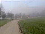 2
2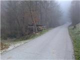 3
3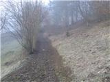 4
4 5
5 6
6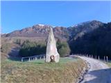 7
7 8
8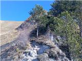 9
9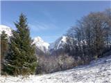 10
10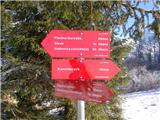 11
11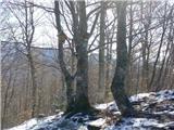 12
12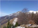 13
13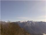 14
14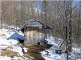 15
15 16
16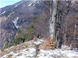 17
17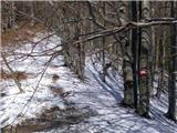 18
18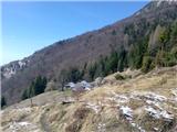 19
19 20
20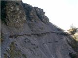 21
21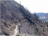 22
22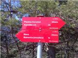 23
23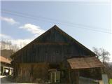 24
24 25
25