Štore - Resevna (through Bojanski graben and over Resje nad Štorami)
Starting point: Štore (240 m)
Starting point Lat/Lon: 46.2213°N 15.3215°E 
Path name: through Bojanski graben and over Resje nad Štorami
Time of walking: 3 h 30 min
Difficulty: easy marked way
Difficulty of skiing: no data
Altitude difference: 442 m
Altitude difference (by path): 850 m
Map: Posavsko hribovje Boč - Bohor 1:50.000
Access to starting point:
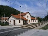
Štore is accessible ideally with the help of railway. On the road...you leave the highway in Celje and practically in the center of Celje go towards Štore or Šentjur. You park the car near the railway station Štore, where there is enough parking spots available and there is also the beginning of the marked mountain path.
Path description:
The beginning of the path is at the railway station in Štore. We go through Voglajna, where a signpost immediately points us to the right and then it goes soon straight practically through the area of old Štore iron works. On the asphalt road, we continue along Bojanski jarek to another crossing, where we continue straight, left path over Žlajfa. Soon the road turns sharply left a little uphill, at the sports field in Pečovje it flattens again and after few terraced houses we turn left on the forest road which passes into a forest path. The path,,past Marija,, branches off to the right, while we continue left through the gorge of Bojanski graben directly by the stream. We continue left higher in a steeper ascent and soon after we get out of the forest, we go again left on the forest road, where soon from the left joins the path over Žlajfa.
We continue right through the meadow part and the forest part. We soon reach a crossing named Ramanca. We continue sharply left, this is now also XIV division trail, in the direction of Vrunčev dom or Resevna, to the right leads the path towards the mountain hut Almin dom na Svetini. We soon reach an asphalt road, settlement of houses and holiday cottages by the road and cottage Vrunčev dom, today Hunting cottage on Svetina. We continue a little downwards to the chapel by the path and we go left downwards to a crossing Dobošek.
At the crossing Dobošek we turn right and below the homestead, we descend through the meadow on a forest path past a bee house and we reach an asphalt road Štore - Svetina. On the asphalt road, we continue good hundred meters downwards and then through area named Mrzla planina past six or seven homesteads on the asphalt road to the turn-off left into the forest, where we follow a pleasant forest mountain path. At another juncture with an asphalt road we continue to Slemena, where we turn left upwards by the homestead. We follow the asphalt road about three hundred meters upwards and we reach homestead directly below the summit, NOB monument and after few meters in the forest also the peak Resje. The peak isn't marked.
From Resje we continue on a marked mountain path towards the east. Soon, on the right we notice a larger hunting observatory and a little further right by the path another monument of 1st Celje unit. On the forest road we go to the plain where the terrain opens a little, and by two homesteads we go sharply left upwards into the final ascent on a scenic forest path. We soon reach a lookout tower on Resevna. After sightseeing from a modern tower follows also a short descent to the mountain hut on Resevna.
The total length of the path from Štore is around 10.5 kilometers, 850 positive altitude meters and 460 negative altitude meters.
Pictures:
 1
1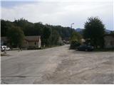 2
2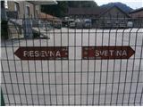 3
3 4
4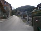 5
5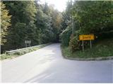 6
6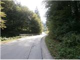 7
7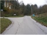 8
8 9
9 10
10 11
11 12
12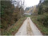 13
13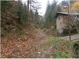 14
14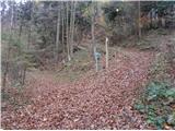 15
15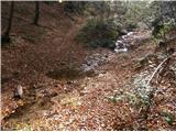 16
16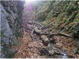 17
17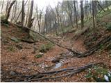 18
18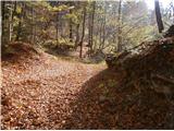 19
19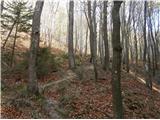 20
20 21
21 22
22 23
23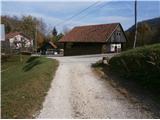 24
24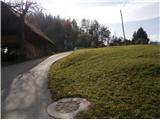 25
25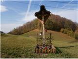 26
26 27
27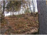 28
28 29
29 30
30 31
31 32
32 33
33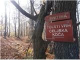 34
34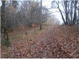 35
35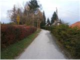 36
36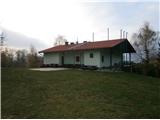 37
37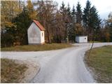 38
38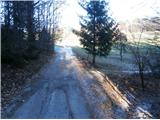 39
39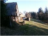 40
40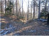 41
41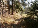 42
42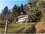 43
43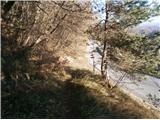 44
44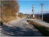 45
45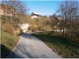 46
46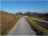 47
47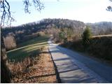 48
48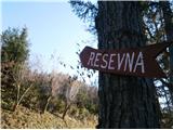 49
49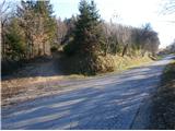 50
50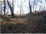 51
51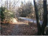 52
52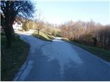 53
53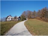 54
54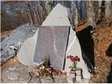 55
55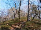 56
56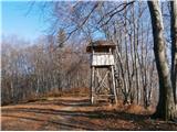 57
57 58
58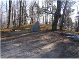 59
59 60
60 61
61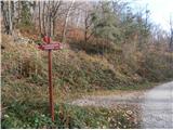 62
62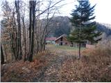 63
63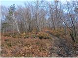 64
64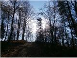 65
65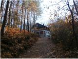 66
66