Štore - Veliki vrh above Svetina (via Marija and over Svetina)
Starting point: Štore (240 m)
Starting point Lat/Lon: 46.2213°N 15.3215°E 
Path name: via Marija and over Svetina
Time of walking: 2 h 30 min
Difficulty: easy marked way
Difficulty of skiing: no data
Altitude difference: 567 m
Altitude difference (by path): 730 m
Map: Posavsko hribovje Boč - Bohor 1:50.000
Access to starting point:
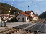
Štore accessible with the help of Slovenian railway. On the road...you leave the highway in Celje and practically in the center of Celje go towards Štore or Šentjur. You park the car near the railway station Štore, where there is enough parking spots available and there is also the beginning of the marked mountain path.
Path description:
The beginning of the path is at the railway station in Štore. We go through Voglajna, where a signpost immediately points us to the right and then it goes soon straight practically through the area of old Štore iron works. On the asphalt road, we continue along Bojanski jarek to another crossing, where we continue straight, left path,,over Žlajfa,,. Soon the road turns sharply left a little uphill, at the sports field flattens again and behind some terraced houses we turn left on the forest road which passes into a forest path. Left the path through Bojanski ditch branches off and we continue right upward. From the right side soon joins the path from Celje and Teharje. We continue left on the forest road by two, three houses and then once again left on a forest path. Further, the path on Srebotnik branches off and soon after this we come to the chapel carved into a rocky wall.
From the chapel we continue upwards on a forest path and we follow the signs and signposts. On a larger grassy clearing there is a crossing, where we continue left towards Almin dom, to the right leads the path on Tolsti vrh...
We follow the forest path to a crossing, where the path continues upwards towards Almin dom and we descend right downwards to the settlement Svetina. After a shorter sightseeing of the settlement, we continue on the path of XIV division by the cemetery (a grave of great traveler Alma Karlin, immediately left by the entrance) on the road in the direction of Kanjuce. At the larger homestead right on the road, also along the fence for horses we get to a wooden cross which is right by the road and we turn sharply right upwards on an asphalt towards the only homestead, which we bypass on the right side and then we go immediately straight on a forest path - good hundred meters to the top. The peak is the highest point, marked with a border stone. On the top there are also four larger distinct trees - beech trees. From the wooden cross past the homestead to the top the path isn't marked, but the path is logical and easy to follow. The peak doesn't have much of a view.
Pictures:
 1
1 2
2 3
3 4
4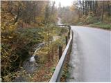 5
5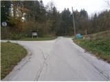 6
6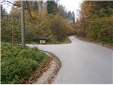 7
7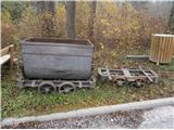 8
8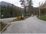 9
9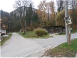 10
10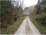 11
11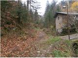 12
12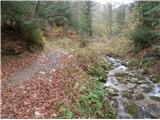 13
13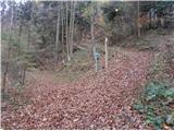 14
14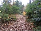 15
15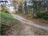 16
16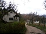 17
17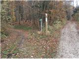 18
18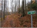 19
19 20
20 21
21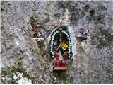 22
22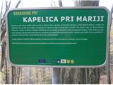 23
23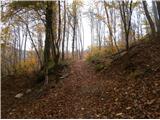 24
24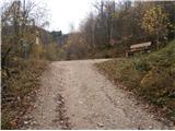 25
25 26
26 27
27 28
28 29
29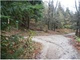 30
30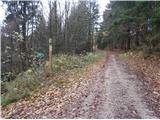 31
31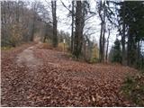 32
32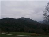 33
33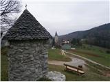 34
34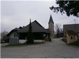 35
35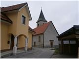 36
36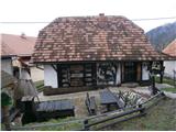 37
37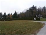 38
38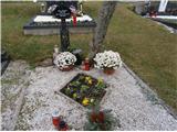 39
39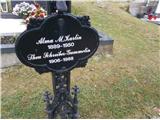 40
40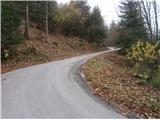 41
41 42
42 43
43 44
44 45
45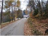 46
46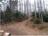 47
47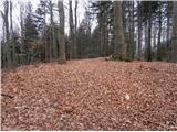 48
48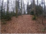 49
49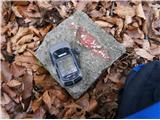 50
50 51
51