Straßengel - Generalkogel
Starting point: Straßengel (450 m)
| Latitude/Longitude: | 47,11067°N 15,33977°E |
| |
Walking time: 1 h 30 min
Difficulty: easy marked way
Elevation gain: 263 m
Elevation difference along the route: 404 m
Map: https://www.bergfex.at
Recommended equipment (summer):
Recommended equipment (winter):
Views: 148
 | 1 person like this post |
Access to starting point:
From highway Maribor - Graz - Salzburg (A9) we go to the exit Gratkorn-Nord (2nd exit before the Plabutschtunnel). We turn right in the direction of Rein.
We drive through three roundabouts. In the first we choose the 1st exit, in the second the 2nd exit (straight), in the third again the 2nd exit (straight). After approximately 2.5 km, an intersection follows (a gas station on the right), where we turn right.
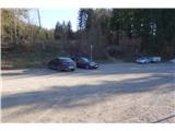
After 1 km, we leave the priority (straight) road and immediately turn left toward "Wallfahrtskirche Straßengel" (pilgrimage church). After a few hundred meters of steep climb, we arrive at the parking lot, where we can leave the car.
Route description:
From the parking lot, we head towards the nearby bench, where the marked path number 30 begins.
When we descend on the path, we then join the road and at the crossroad turn left. We follow the blazes in the direction of "Plankenwarth".
After 200 meters, the road ends, and we continue on a forest path, which soon leads us to a meadow with a beautiful view of the town and the church. The path then continues on a wide forest road, leading to a path junction where we proceed straight up a steep hill. On a well-marked path uphill, we join the forest road, turn right (direction Plankenwarth), and continue along the road.
Several path junctions follow. At the first junction, we keep straight on the path toward Plankenwarth; at the second junction, we turn left (the marked path). At the third junction, it doesn’t matter whether we continue left on the marked footpath or right on the road around. The marked footpath brings us back to the road. After 200 meters, we reach another junction, where it also doesn’t matter whether we continue right on the marked footpath or left on the road around. The marked footpath first leads slightly uphill, then descends steeply and rejoins the road.
After 100 meters, at the next junction, we continue left on the marked path. We reach a turn where signposts direct us right, steeply uphill. The steepest part of the path follows, leading us straight to the summit of the hill. At the top, we are rewarded with a beautiful view of the town and the surrounding hills.

Photos:
 1
1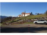 2
2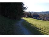 3
3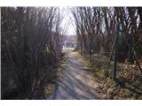 4
4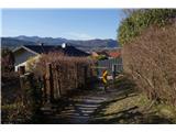 5
5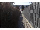 6
6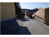 7
7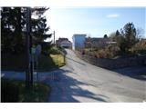 8
8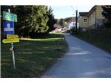 9
9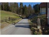 10
10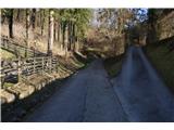 11
11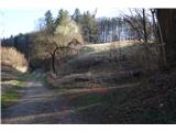 12
12 13
13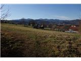 14
14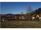 15
15 16
16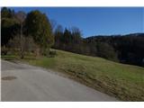 17
17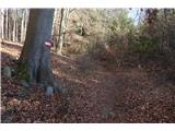 18
18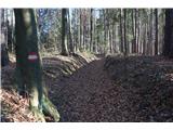 19
19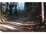 20
20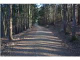 21
21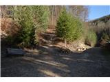 22
22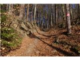 23
23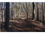 24
24 25
25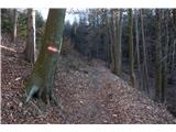 26
26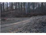 27
27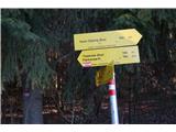 28
28 29
29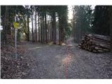 30
30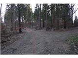 31
31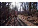 32
32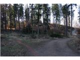 33
33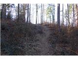 34
34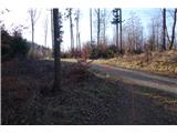 35
35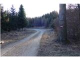 36
36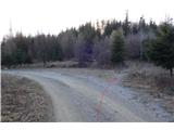 37
37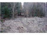 38
38 39
39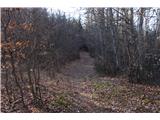 40
40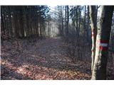 41
41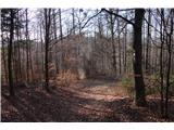 42
42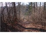 43
43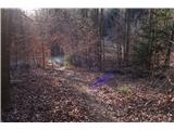 44
44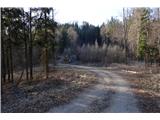 45
45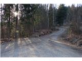 46
46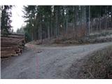 47
47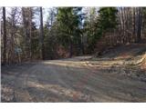 48
48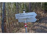 49
49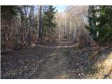 50
50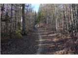 51
51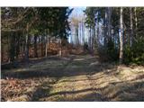 52
52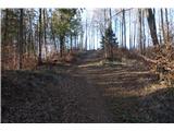 53
53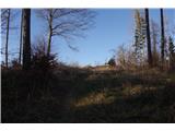 54
54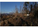 55
55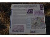 56
56 57
57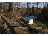 58
58 59
59 60
60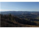 61
61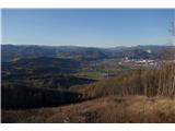 62
62 63
63
Discussion about the trip Straßengel - Generalkogel
To post a comment you must log in:
If you do not yet have a username, you must first
register.