Starting point: Übelbach (563 m)
| Latitude/Longitude: | 47,22217°N 15,24070°E |
| |
Walking time: 1 h 30 min
Difficulty: easy unmarked way
Elevation gain: 486 m
Elevation difference along the route: 496 m
Map: https://www.bergfex.at
Recommended equipment (summer):
Recommended equipment (winter):
Views: 114
 | 1 person like this post |
Access to starting point:
We leave the Maribor-Graz-Salzburg highway (A9) at the Übelbach exit and then turn left at the crossroads.
We drive through the settlement Übelbach. When we notice the store on the right side of the road, we turn left onto the road heading downwards.
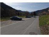
We cross the railway crossing, and at the end of the street, we turn right and arrive at the parking lot.
Route description:
From the parking lot, we return on the road back up to the crossroad from where we drove.
We cross the road and go left over a small bridge. After the bridge, we continue right on a narrower street upwards.
Before the street ends or transitions into a macadam forest road (cross on the right side of the road), we turn right and then immediately left onto a well-trodden footpath.
After 250 meters, the footpath joins the macadam road, on which we continue. We slowly gain altitude. At the next two turn-offs that follow, we always turn right.
When we pass benches (by the road), we pay attention to the start of a footpath leading left into the forest upwards. Next follow some of the steepest parts of the path. In doing so, we cross the forest road a few times.
Near the peak, the footpath brings us to a larger crossing, where the road leads right slightly downwards towards a nearby hunting observatory, but we continue on the footpath left upwards. After walking about ten meters at the crossing, we reach a footpath that branches off to the right. We follow this footpath to the top.

Photos:
 1
1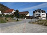 2
2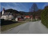 3
3 4
4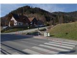 5
5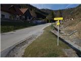 6
6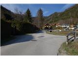 7
7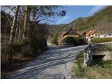 8
8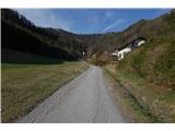 9
9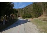 10
10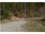 11
11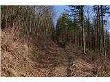 12
12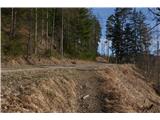 13
13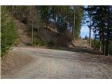 14
14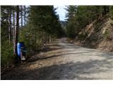 15
15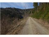 16
16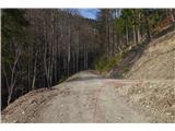 17
17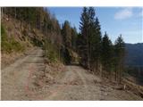 18
18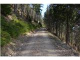 19
19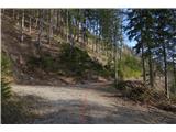 20
20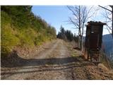 21
21 22
22 23
23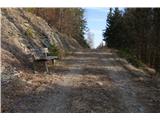 24
24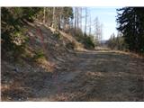 25
25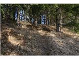 26
26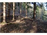 27
27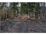 28
28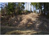 29
29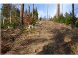 30
30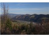 31
31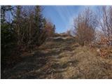 32
32 33
33 34
34 35
35 36
36 37
37 38
38 39
39 40
40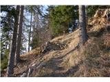 41
41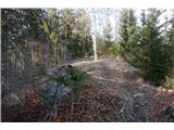 42
42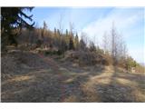 43
43 44
44 45
45 46
46 47
47 48
48 49
49 50
50 51
51 52
52 53
53 54
54 55
55 56
56 57
57
Discussion about the trip Übelbach - Schankkogel
To post a comment you must log in:
If you do not yet have a username, you must first
register.