Vilenica - Stari tabor (Vilenica - Stari Tabor - Povir)
Starting point: Vilenica (420 m)
Starting point Lat/Lon: 45.6747°N 13.9116°E 
Path name: Vilenica - Stari Tabor - Povir
Time of walking: 1 h 40 min
Difficulty: easy marked way
Difficulty of skiing: no data
Altitude difference: 183 m
Altitude difference (by path): 220 m
Map: Slovenska Istra - Čičarija, Brkini in Kras 1:50.000
Access to starting point:
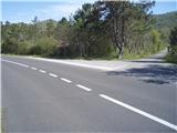
We leave the highway Ljubljana - Koper at exit Divača and we follow the road further in the direction of settlements Lokev and Lipica. The road which is mostly flat quickly brings us in the village Lokev. At the end of the village, to the right a road branches off towards the cave Vilenica. We go on this road, from which soon a road branches off to the right (turn-off is marked), which after 100 meters brings us to the parking lot at cave Vilenica.
Path description:
From the parking places after the sightseeing of the outer part and nearby surroundings of the cave Vilenica, we continue on the mountain path from the direction of Lipica to the signposts. We moderately continue in the direction of the settlement Lokev and soon after a pleasant meadow cart track, we reach the crossing Jama Vilenica. From the crossing, we continue with the help of signposts left upwards in the direction of Stari tabor or Povir. The path is pleasantly winding higher on the more and more rocky terrain, there are some turn-offs to the left and right, but we continue on a marked mountain path. Further, right by the path there is a smaller cross made of stones. Soon from the left joins the path from the settlement Povir, and we continue right and after few meters where on the right side in the season there are cribs we reach the panoramic peak Stari tabor.
After a short sightseeing and views on the nearby and distant surroundings, we from the peak continue left in the direction of village Povir (easier variant) downwards. Left above us by the path there is 568 meters high Šprinčev hrib... We continue further and right by the path, we soon reach (30 meters distant rock shelter Hudičkov spodmol). After a short sightseeing of a natural attraction, we continue in the direction of Povir. The path is constantly descending, cart tracks and the road is getting wider and we reach the settlement Povir. With the help of an overpass, we cross a railway track, a look on the railway station left below us and in few ten meters we reach the center of the settlement with the parish church of St. Peter.
The path from Vilenica over Stari tabor on an easier variant back to the settlement Povir measures in distance around 5500 meters, 220 positive altitude meters and 250 negative altitude meters.
Pictures:
 1
1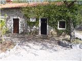 2
2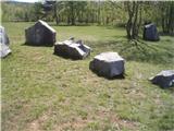 3
3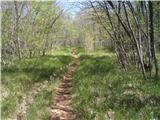 4
4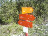 5
5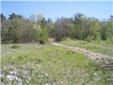 6
6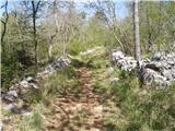 7
7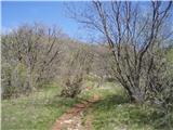 8
8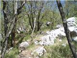 9
9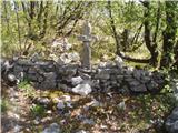 10
10 11
11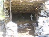 12
12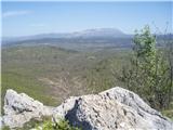 13
13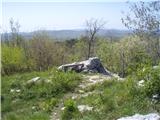 14
14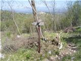 15
15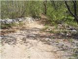 16
16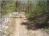 17
17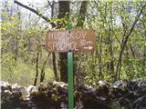 18
18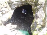 19
19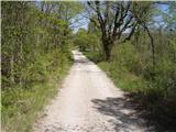 20
20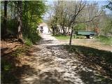 21
21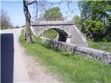 22
22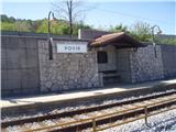 23
23 24
24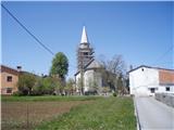 25
25 26
26