Volovljek - Kašna planina
Starting point: Volovljek (1029 m)
| Latitude/Longitude: | 46,28300°N 14,68840°E |
| |
Walking time: 1 h
Difficulty: easy marked way
Elevation gain: 288 m
Elevation difference along the route: 295 m
Map: Kamniške in Savinjske Alpe 1:50.000
Recommended equipment (summer):
Recommended equipment (winter):
Views: 24.070
 | 3 people like this post |
Access to starting point:
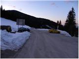
A) First, we drive to Kamnik, and then we continue driving in the direction of the mountain pass Črnivec. Just a few hundred meters before the mentioned mountain pass, we notice signs for Kranjski Rak, which direct us sharply left onto a narrow and initially also quite steep road. The road flattens higher up and then brings us to the mountain pass Volovljek, where we also park near the inn Kranjski Rak (parking in front of the inn is permitted only for guests). A little more space for parking is near the inn Štajerski Rak.
B) From Gornji Grad we drive towards Kamnik, then just a few hundred meters after the mountain pass Črnivec we continue right in the direction of Kranjski Rak. Further, we follow the above description.
C) From the Savinjska valley we first drive to Luče, and then we continue driving towards Kamnik. When we arrive at the mountain pass Volovljek we park at an appropriate place near the inn Kranjski Rak (parking in front of the inn is permitted only for guests). A little more space for parking is near the inn Štajerski Rak.
Route description:
From the starting point, we first walk to the mountain pass Volovljek, and then at the crossroads we continue towards the east (direction Štajerski Rak and Kašna planina). The road, which further moderately ascends, quickly brings us to the inn Štajerski Rak, near which we notice a large parking lot (option of starting point). We continue on the forest road, which further gently to moderately ascends through the forest. From the road, which on the north side crosses the slopes of Kranjska rebra, we occasionally get a view of the Savinja side, where we can notice Ojstrica and the Dleskovška planota plateau, a little higher also Raduha. After a while, the road starts turning more and more to the right, which after a few minutes of further walking brings us to a smaller saddle Na Kalu.
Here we leave the wide road and continue right on a somewhat steeper cart track, along which in 10 minutes of further walking we ascend to the shepherd hut on Kašna planina (from the saddle Na Kalu to Kašna planina we can also ascend on the newly built road).

Along the route: Na Kalu (1242m)
Photos:
 1
1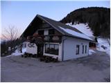 2
2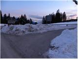 3
3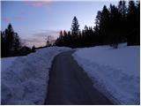 4
4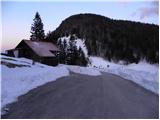 5
5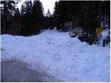 6
6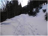 7
7 8
8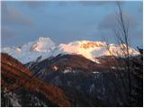 9
9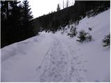 10
10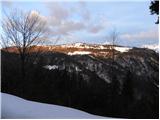 11
11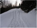 12
12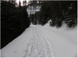 13
13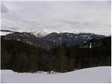 14
14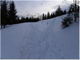 15
15 16
16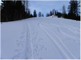 17
17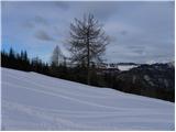 18
18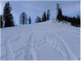 19
19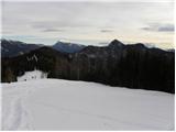 20
20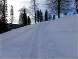 21
21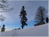 22
22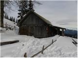 23
23
Discussion about the trip Volovljek - Kašna planina
To post a comment you must log in:
If you do not yet have a username, you must first
register.