Vrzdenec - Gradišče above Žažar (via Žažar)
Starting point: Vrzdenec (341 m)
Starting point Lat/Lon: 46.0187°N 14.276°E 
Path name: via Žažar
Time of walking: 1 h
Difficulty: easy unmarked way
Difficulty of skiing: no data
Altitude difference: 206 m
Altitude difference (by path): 215 m
Map: Ljubljana - okolica 1:50.000
Access to starting point:
A) We drive to Horjul, and then we continue driving towards Vrzdenec. The described path starts at the turn-off of the road in Žažar, and we park on an appropriate place nearby, or higher by the road in Žažar.
B) From Gorenja vas or Žiri we drive towards Horjul, and when we get to Vrzdenec we need to pay attention, because at the turn-off of the road to the right for Žažar there is the beginning of the described path. We park on an appropriate place nearby, or higher by the road in Žažar.
Path description:
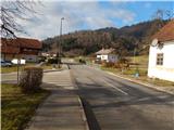
From the main road, we continue in the direction of the settlement Žažar. After crossing the stream Šujica road splits into two parts, where we continue on the upper road. Immediately after the crossroad settlement Vrzdenec ends, and the road starts steeply ascending. Higher also the road towards the homestead Činžar branches off to the right, and we continue straight, where past a smaller abandoned quarry we get to Žažar, where at the crossroads we continue left. After the crossroad, where a road branches off to the right towards animal shelter Zavetišče Horjul, we once again continue slightly left and then we walk also past the church of St. Ana. The dense part of the settlement quickly ends, and the road then leads us by the edge of panoramic meadows. A little further, we get to a smaller hamlet, where we continue slightly left, and all houses we bypass on the right side. Behind the last house the road changes into a cart track, on which we ascend a little steeper. After few 10 strides the cart track flattens and it turns left, where crosses a panoramic meadow, and further starts semicircular turning to the right. After crossing of lane of a forest we get below the peak, where we notice a bigger cross, to which we have only few 10 strides of panoramic walking.
Description and pictures refer to a condition in the year 2016 (December).
On the way: Žažar (460m)
Pictures:
 1
1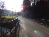 2
2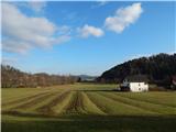 3
3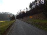 4
4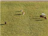 5
5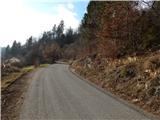 6
6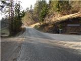 7
7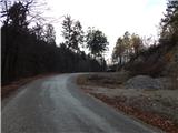 8
8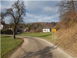 9
9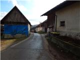 10
10 11
11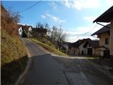 12
12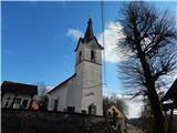 13
13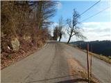 14
14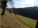 15
15 16
16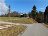 17
17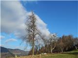 18
18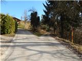 19
19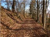 20
20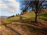 21
21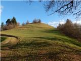 22
22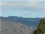 23
23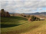 24
24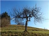 25
25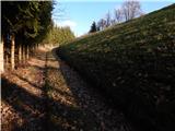 26
26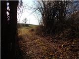 27
27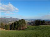 28
28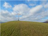 29
29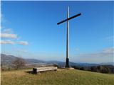 30
30 31
31