Starting point: Zakojca (706 m)
| Latitude/Longitude: | 46,16530°N 13,92770°E |
| |
Walking time: 1 h 45 min
Difficulty: easy marked way
Elevation gain: 597 m
Elevation difference along the route: 600 m
Map: Škofjeloško in Cerkljansko hribovje 1:50.000
Recommended equipment (summer):
Recommended equipment (winter): ice axe, crampons
Views: 26.410
 | 2 people like this post |
Access to starting point:
From the road Tolmin - Podbrdo at the settlement Grahovo ob Bači, the road branches off, which after a few kilometers of ascent brings us to the village Bukovo. Here we continue to the left and follow the transverse road to the village Zakojca, which is the starting point for our tour.
From the road Idrija - Tolmin at the village Reka, the road branches off in the direction of the villages Police and Bukovo. We then follow this mostly ascending road at the crossroads in the direction of the village Bukovo. From the village Bukovo we continue on the transverse road, which after a few kilometers of additional driving brings us to Zakojca, which is the starting point for our tour.
Route description:
In the center of the village, only a few meters after the NOB monument we will notice at the transformer the beginning of the path to Kojca. At first, we ascend on a gentle cart track which runs on a panoramic grassy slope straight upwards. The path, which is becoming increasingly steep, brings us by the grazing fence near the hunting observatory, which we can see for the entire initial part of the path. Near the observatory, the path turns a little to the left and continues ascending on a cart track, which has quite a few branchings, so we carefully follow the blazes. Higher, the cart track passes into a dense forest, and we follow it only to the spot where the blazes direct us onto a steep footpath. The path, which runs through the forest, then brings us in a few minutes to a small saddle, where it turns left and starts to ascend even steeper.
We overcome a relatively long steep section in numerous hairpin turns, then the path turns to the left and brings us through the wire fence onto avalanche slopes. We cross the mentioned slopes in a gentle ascent, then the path returns to the forest, where only a little further we join the path from the saddle Vrh Ravni.
Here we continue straight in the direction of Kojca on the path which only a little further brings us onto the main ridge of the mentioned peak. Here the path turns a little to the right and starts ascending steeply again on the increasingly panoramic summit slope of the mountain. Higher, the steepness eases and the path brings us out of the forest onto grassy slopes along which we then ascend to the summit of Kojca in a few minutes of panoramic walking.

Photos:
 1
1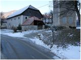 2
2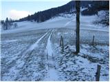 3
3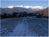 4
4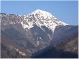 5
5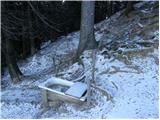 6
6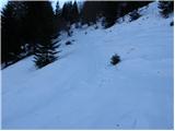 7
7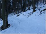 8
8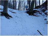 9
9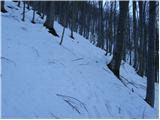 10
10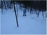 11
11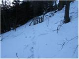 12
12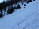 13
13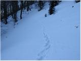 14
14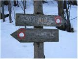 15
15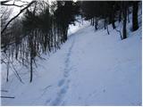 16
16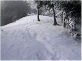 17
17 18
18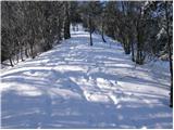 19
19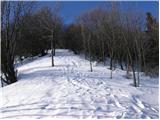 20
20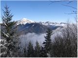 21
21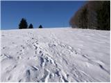 22
22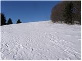 23
23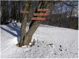 24
24 25
25
Discussion about the trip Zakojca - Kojca
|
| grahlck28. 04. 2009 |
Is there any snow on this path? Thanks.
|
|
|
|
| Lj4. 04. 2011 |
Panoramic, expansive, grassy summit. We made a nice circular tour: from Zakojca to Kojca, descent to the pass Vrh ravni and back to Zakojca by road. And also žlikrofi at the friendly farm tourism, what more could you want?
|
|
|
|
| J.P.28. 12. 2022 19:37:18 |
Such a tour is fun in the snow. Regards
|
|
|
To post a comment you must log in:
If you do not yet have a username, you must first
register.