Zaplana (Jamnik) - Rajna peč
Starting point: Zaplana (Jamnik) (640 m)
Starting point Lat/Lon: 45.9799°N 14.243°E 
Time of walking: 40 min
Difficulty: easy marked way
Difficulty of skiing: no data
Altitude difference: 16 m
Altitude difference (by path): 50 m
Map:
Access to starting point:
A) First, we drive to Vrhnika, and then we continue driving towards Horjul. After Stara Vrhnika we quickly get to a crossroad, where we continue left in the direction of Zaplana. Further, we drive on an ascending road which we follow to a large parking lot at the foot of a former ski slope Ulovka, where we park.
B) From the old road Vrhnika - Logatec we drive to Zaplana and we drive past the parish church of St. Urh and St. Martin. A little further at the next crossroad we continue right towards Vrhnika (left Rovte), and then we drive to a large parking lot at the foot of a former ski slope Ulovka, where we park.
Path description:
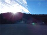
From the parking lot, we continue on the road towards the northwest (if we came to the starting point by description A, we continue on the road ahead, and if we came to the starting point by description B, we go back on the road in the direction of access to the starting point), where we quickly arrive at the settlement Jamnik. When we arrive at a somewhat larger crossroad we continue slightly right in the direction towards Rovte (left is the road sign for Zaplana) and immediately after the crossroad we arrive at the settlement Mizni dol. In Mizni dol we continue right, and then at the log cabin Pri Janezu, where there is also a stamp (log cabin is located to the right of the marked path), we continue on a slightly left road which leads forward towards Rovte and Raztovke. On the asphalt road we walk to a chapel a few minutes distant, and from there we go slightly right on a macadam road which leads us by the pasture. The macadam road a little further slightly descends and changes into a cart track, on which for a few minutes we ascend more steeply. When the path turns right it flattens, then at the NOB monument it turns left and starts descending. Lower, the path leads us between two sinkholes, after them it turns right and in a few 10 strides ascends to a large cross on Rajna peč, from where a beautiful view opens up.
Description and pictures refer to the condition in the year 2016 (December).
Pictures:
 1
1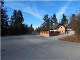 2
2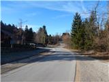 3
3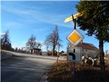 4
4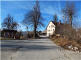 5
5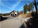 6
6 7
7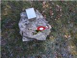 8
8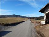 9
9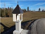 10
10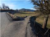 11
11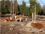 12
12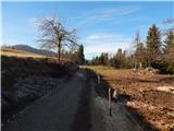 13
13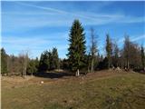 14
14 15
15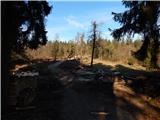 16
16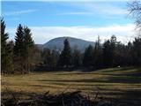 17
17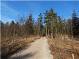 18
18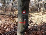 19
19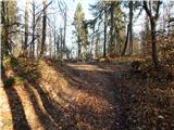 20
20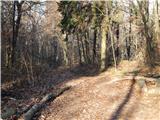 21
21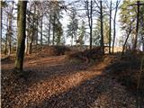 22
22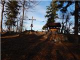 23
23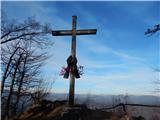 24
24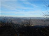 25
25