Zgornje Poljčane - Planinska koča Velikonočnica (first part of the path over Baba and on the road)
Starting point: Zgornje Poljčane (360 m)
Starting point Lat/Lon: 46.2971°N 15.5834°E 
Path name: first part of the path over Baba and on the road
Time of walking: 1 h 5 min
Difficulty: easy marked way
Difficulty of skiing: no data
Altitude difference: 190 m
Altitude difference (by path): 285 m
Map: Posavsko hribovje Boč - Bohor 1:50.000
Access to starting point:
A) From the direction Ljubljana we leave the highway in Slovenske Konjice and through Žiče, Loče and Zbelovo we get to Poljčane. At the crossroad, we continue right in the direction of Zgornje Poljčane, where at the marked crossroad we turn left upwards and drive to the parking lot - starting point for mountain path on Boč.
B) From the direction Maribor we leave the highway in Slovenska Bistrica, where traffic signs point us in Poljčane. Through the center of the settlement Poljčane we continue in the direction of Zgornje Poljčane, where at the marked crossroad we turn left upwards and drive to the parking lot - starting point for mountain path on Boč.
Path description:
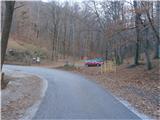
From the parking lot very well situated, new signposts point us upwards on the path over Baba. The path is pleasantly winding higher in a partly mixed forest of deciduous and coniferous trees. We soon reach the road and we continue right, we follow the asphalt grounding higher all the way to the road crossing on Boč. To the left the road continues towards the mountain hut, while we continue right on a macadam path. From the right side joins the mountain path over Galka and on the left we reach site of greater pasque flower on Boč, altitude 642 meters and also the highest point of the described path.
After a short sightseeing of site, which is the most interesting of course in spring time (in the time of blooming), we continue straight with the help of signposts. We walk below 782 meters high Dreveniška gora. On a pleasant forest road we continue twice a little to the right. There is also a pleasant plain with some holiday cottages and left above the path there is a water storage Drevenik. Next follows a short continuation on a little narrower road and we soon reach the cottage Planinska koča Velikonočnica at an altitude 550 meters.
The distance of the described path is around 3500 meters, 285 positive altitude meters and 95 negative altitude meters.
Trip can be extended to: Boč
Pictures:
 1
1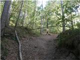 2
2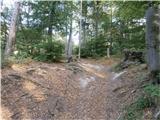 3
3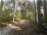 4
4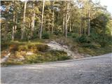 5
5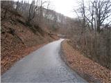 6
6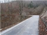 7
7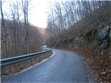 8
8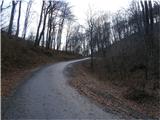 9
9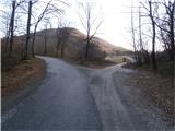 10
10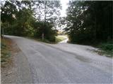 11
11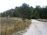 12
12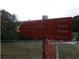 13
13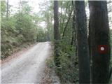 14
14 15
15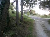 16
16 17
17 18
18 19
19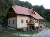 20
20