Zidani Most - Veliko Kozje
Starting point: Zidani Most (201 m)
Starting point Lat/Lon: 46.0879°N 15.1884°E 
Time of walking: 2 h 30 min
Difficulty: easy marked way
Difficulty of skiing: partly demanding
Altitude difference: 792 m
Altitude difference (by path): 792 m
Map:
Access to starting point:
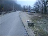
From Zasavje or Celje we drive to Zidani Most. In Zidani Most we cross the bridge over the river Savinja and right after it we turn sharply left (by the road we notice signs for Gašperjeva koča). This road, which runs along the Savinja, we follow to the parking lot, which is situated only a few meters before the railway crossing.
From Trebnje or Krško we drive to Sevnica and we follow the road further towards Zidani Most. In Zidani Most we don't cross the bridge over the river Savinja, but we continue straight ahead on the narrow road between the railway and Savinja. We park at the parking lot a few meters before the railway crossing.
Path description:
From the parking lot we continue on the road which crosses the railway track and then brings us to a crossroad, where we continue on the right upper road in the direction of the mountain hut Gašperjeva koča. Only a little further we get to another similar crossroad, where we again continue right upwards. The road, which is getting worse, then goes into the forest, where past the village ski slope in a moderate ascent it brings us to the mountain hut Gašperjeva koča.
From the mountain hut we continue upwards on a cart track in the direction of Veliko Kozje. The cart track on which we are ascending we leave after a few steps, because the blazes point us left onto a footpath which ascends diagonally across a steep forest-covered slope. The path, quite steep in places, after a short ascent brings us to a nice vantage point from which a view opens up onto Kum. Further we continue on the path which ascends along and on the side ridge of Veliko Kozje. A little higher the path descends for a few steps and turns right, where it crosses steep slopes (in snow danger of slipping and avalanche). Then follows a shorter ascent and the path brings us to a junction, where we continue left (right Radeče). Further we ascend on a moderately steep path, which after a good 20 minutes brings us to Veliko Kozje.
Pictures:
 1
1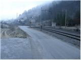 2
2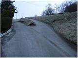 3
3 4
4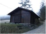 5
5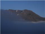 6
6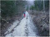 7
7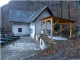 8
8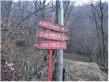 9
9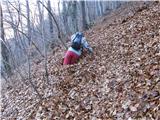 10
10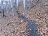 11
11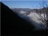 12
12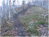 13
13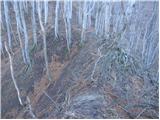 14
14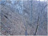 15
15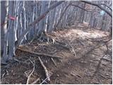 16
16 17
17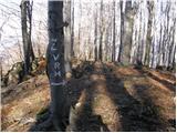 18
18 19
19