Col - Javornik above Črni vrh
Starting point: Col (627 m)
Starting point Lat/Lon: 45.8816°N 14.001°E 
Time of walking: 3 h
Difficulty: easy marked way
Difficulty of skiing: no data
Altitude difference: 613 m
Altitude difference (by path): 650 m
Map: Nanos 1:50.000
Access to starting point:
A) From highway Razdrto - Nova Gorica we go to the exit Ajdovščina, and then we continue driving in the direction of Col and Idrija. When we get to Col we turn left towards Predmeja and then after few meters right on a parking lot opposite of the parish church in Col. We can also park on a parking lot by nearby sports field.
B) We drive to Logatec, and from there we continue driving towards Idrija. At the end of the settlement Kalce we turn left in the direction of Podkraj and Col, after that on a little more winding road at first we get to Podkraj, and then on a little more flat road also to Cola. In Col, where we join the road from Ajdovščina we continue right, and after few 10 meters left in the direction of Predmeja. Towards Predmeja we drive only few meters, because immediately after the crossroad we turn right on a parking lot opposite of the church of St. Lenart.
C) We drive to Idrija, and then we continue driving towards Logatec. When we get to Godovič we leave the main road towards Logatec and we continue driving right in the direction of Črni Vrh, Col and Ajdovščina. When we get to Col we turn right towards Otlica and Predmeja and then once again right on the nearby parking lot opposite of the church.
Path description:
From the parking lot, we return to the main road Ajdovščina - Godovič, and then we walk there towards Godovič, but only to a crossroad, where signs for Vodice point us to the right on a little narrower road. Asphalt road then leads us past few more houses and footwear factory, and then gradually passes into the forest, through which it starts moderately ascending. Further for quite some time, we walk on the road, and then blazes point us slightly right on a marked footpath which already after few minutes returns on the road. The road then brings us to a marked crossroad, where we continue left in the direction of Vodice (right Vodice house number 1 and 2 and Podkraj). Only a little further, we get to the next crossing, where a macadam road branches off sharply to the right towards Sveti Duh, straight continues asphalt road, and we continue slightly right on a marked footpath which cuts a longer turn of the road. We soon return on the road, and then it leads us by the meadow and past the homestead Lazar. A little further on a marked shortcut we cut one more turn, and then we get on the road to a crossroad, where a road branches off to the left towards the hamlet Suhi Vrh, and we continue slightly right still towards Vodice. The road then leads past another house and passes into the forest and gradually starts descending. Forest after few minutes ends and for some time a view opens up a little on the ridge of Križna gora.
Here blazes lead left on a macadam road and on a marked shortcut, which cuts the road turn. After a short descent, we return on the road, and there we are for some time descending. During the descent marked path branches off slightly to the right, which few minutes continues parallel with the road, and then turns right in the forest. A little overgrown path soon brings us on a cart track which turns right in the forest. Further on several smaller crossings we carefully follow the blazes, so that we are for some time ascending on an ascending footpath which higher crosses the macadam road. From the spot, when we cross the road we relatively steeply ascend by the edge of an overgrown grassy slope. Higher, we cross another road (road leads to homestead Jeler), and then we step on a wider road which we follow right in the direction of Javornik. This time we walk on the road to a mild left turn, where the trail blaze on power pole points us right in the forest. The path soon returns on the road on which we step out of the forest and there we get to homestead Rudolf, from which a beautiful view opens up on surrounding hills. A little further in lane of a forest we get to the next crossroad, where we continue straight (left Kresov grič, homestead Ježevi and also possible approach on Javornik) on the road which is ascending diagonally. A little further, we get to a marked crossing, where we continue left (right Podkraj and Predjama) and then after 2 minutes of additional walking, we get to the mountain hut Pirnatova koča on Javornik.
From the mountain hut, we continue left in the direction of the tower and Javornik. The path on Javornik at first ascends through a meadow and through a lane of a forest, where it crosses a cart track, and then it brings us on a more and more panoramic slope, from which a view opens up, which in good visibility reaches very far. The path then returns into the forest and it quickly brings us to a lookout tower on Javornik.
Pictures:
 1
1 2
2 3
3 4
4 5
5 6
6 7
7 8
8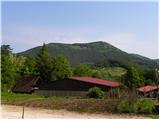 9
9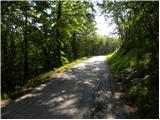 10
10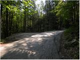 11
11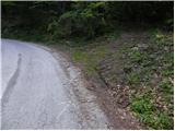 12
12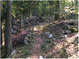 13
13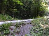 14
14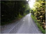 15
15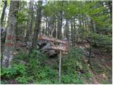 16
16 17
17 18
18 19
19 20
20 21
21 22
22 23
23 24
24 25
25 26
26 27
27 28
28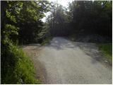 29
29 30
30 31
31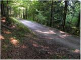 32
32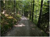 33
33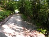 34
34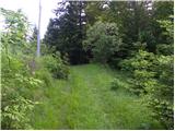 35
35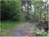 36
36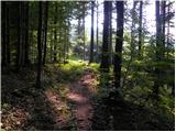 37
37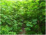 38
38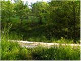 39
39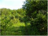 40
40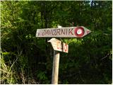 41
41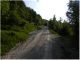 42
42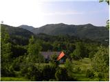 43
43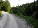 44
44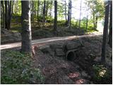 45
45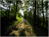 46
46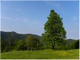 47
47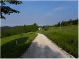 48
48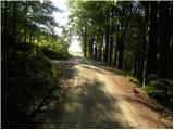 49
49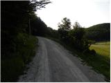 50
50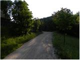 51
51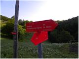 52
52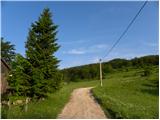 53
53 54
54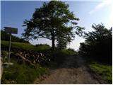 55
55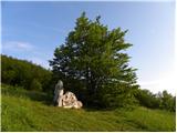 56
56 57
57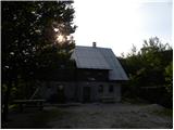 58
58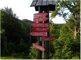 59
59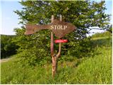 60
60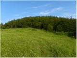 61
61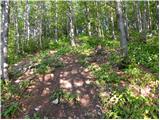 62
62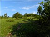 63
63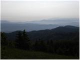 64
64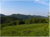 65
65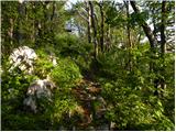 66
66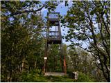 67
67 68
68