Graz Center West - St. Johann und Paul (via Buchkogel)
Starting point: Graz Center West (352 m)
Starting point Lat/Lon: 47.03339°N 15.4151°E 
Path name: via Buchkogel
Time of walking: 2 h
Difficulty: no data
Difficulty of skiing: no data
Altitude difference: 211 m
Altitude difference (by path): 344 m
Map: Graz und Umgebung, Wanderkarte 1:50.000, WK 133 ali https://www.bergfex.at
Access to starting point:
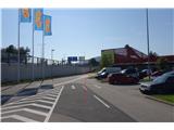
We leave the Maribor-Graz highway (A9) at the Graz exit, then at the roundabout choose the 1st exit in the direction of St. Peter / Puntigam / Center West. At the next traffic-light intersection we turn left and immediately thereafter again left. We drive to the last building of the shopping center, where we park.
Path description:
We continue along the road, to the left of the parking lot, past the last building of the shopping center Center West. After approximately 50 m we leave the road and turn left onto a footpath, which further leads left alongside the tennis courts to the underpass. We go through the underpass, then right to the traffic light. In the background we see the hill Buchkogel. We cross the road. We continue straight along the street in the direction of the mentioned hill. At all intersections we go straight. In between we go over a secured railway crossing. We cross the traffic-light intersection. On the other side we go first left and then immediately right. At the end of the street we turn into the forest onto a steep, marked forest path. In 10 minutes we arrive at the parking lot. From the parking lot we spot the church, to which we go either via the stairs or via the road. At the church we turn right and continue straight along the road steeply uphill. Before the barrier, mountain signposts direct us left into the forest. At the next junctions we keep to the right along the marked mountain path. When we step onto a wider forest cart track, we continue straight in the direction of "Rudolfswarte". At the next two junctions we keep to the left, thereby leaving the marked mountain path (because it is quite overgrown in summer). Then we cross the road two more times. Along the east ridge we arrive at the top of the hill Buchkogel. We continue the path right beside the tower slightly downhill. At the next two junctions we continue straight and descend steeply along the "Buchkogelsteig" path to arrive at a wider macadam path. Along the path beside the fence, which marks the military area, we continue straight until we reach the inn below the church of St. Johann und Paul. Along the fence we ascend to the church.
On the way: Sv. Martin (Gradec) / St. Martin (Graz) (411m), Buchkogel (Rudolfswarte) (659m)
Pictures:
 1
1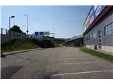 2
2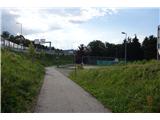 3
3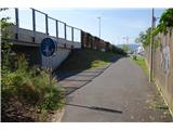 4
4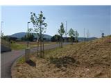 5
5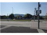 6
6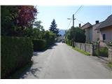 7
7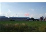 8
8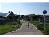 9
9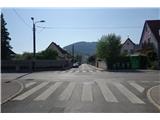 10
10 11
11 12
12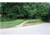 13
13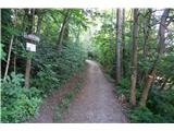 14
14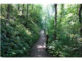 15
15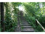 16
16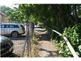 17
17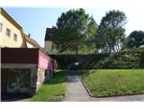 18
18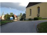 19
19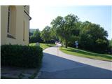 20
20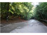 21
21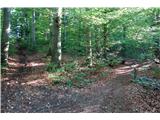 22
22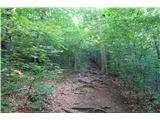 23
23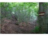 24
24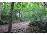 25
25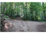 26
26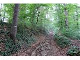 27
27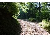 28
28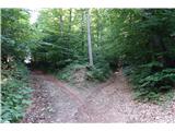 29
29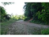 30
30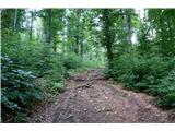 31
31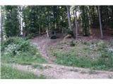 32
32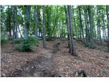 33
33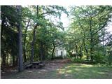 34
34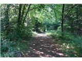 35
35 36
36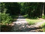 37
37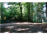 38
38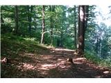 39
39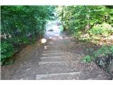 40
40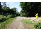 41
41 42
42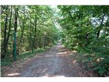 43
43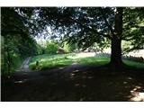 44
44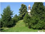 45
45 46
46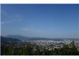 47
47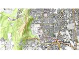 48
48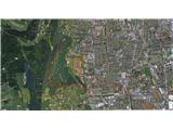 49
49