Jesenice (Straža) - Kozjek
Starting point: Jesenice (Straža) (560 m)
Starting point Lat/Lon: 46.429°N 14.0825°E 
Time of walking: 25 min
Difficulty: easy unmarked way
Difficulty of skiing: partly demanding
Altitude difference: 206 m
Altitude difference (by path): 206 m
Map: Karavanke - osrednji del 1 : 50.000
Access to starting point:
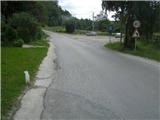
From the highway Ljubljana - Jesenice, we take the Lipce exit, where we turn right towards Jesenice. In the settlement Slovenski Javornik, at the intersection with the traffic lights, we turn left towards the town center. In the second traffic-light intersection (near the high school), we turn right, back onto Tomšičeva cesta, past the primary school on the left. We drive another 2.5 km to the end of Tomšičeva ulica, or to the spot where, by the railway tracks, there is the last bus stop below the slope. Here is a large parking lot, our starting point.
Path description:
From the parking lot, we head up the asphalt road, where just below the top on the left we notice a path, which we step onto and turn left along it past the gardens on our left. We immediately come near residential buildings on the left, where we cross a short cart track (leading to the nearby water reservoir on the right). The path now ascends slightly towards the power line, which we quickly reach. Here we turn right uphill to the east along a gravel path.
We soon reach the second power line, where the path turns left into a short woodland (depending on the season we encounter a wire fence), after which we step onto a (hunter's) path running east-west. We turn left (westwards) across the pasture; towards its end, on the left we notice a small bench, but at this junction we continue right, more steeply uphill. Soon the gradient eases and the path turns left towards the exposed rocky "baba", where we can enjoy the view.
We continue into the deciduous forest (direction west), where the path crossing the south slope of Kozjek first descends slightly, then brings us to a forest clearing. Here we turn sharply right onto the ridge, where we soon encounter a path. Along it, in an easterly direction and in a few minutes, we ascend to the summit of the vegetated ridge, where the view opens up onto Slovenski Javornik, Lipce, Blejska Dobrava, Mežaklo, Jelovica with Ratitovec and the Ljubljana Basin.
Pictures:
 1
1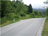 2
2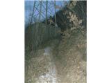 3
3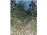 4
4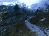 5
5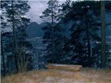 6
6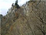 7
7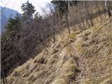 8
8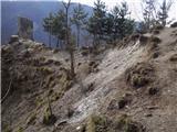 9
9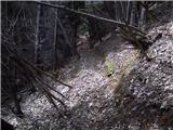 10
10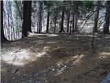 11
11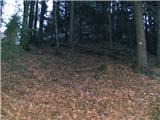 12
12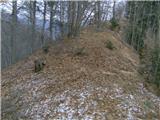 13
13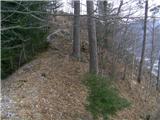 14
14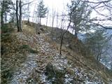 15
15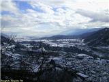 16
16