Lavamünd - Huhnerkogel/Košenjak
Starting point: Lavamünd (349 m)
Starting point Lat/Lon: 46.636°N 14.956°E 
Time of walking: 4 h
Difficulty: easy marked way
Difficulty of skiing: no data
Altitude difference: 1173 m
Altitude difference (by path): 1240 m
Map: Koroška 1:50.000
Access to starting point:
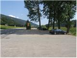
First, we drive to Dravograd, and then we continue driving towards Austria. Further, we drive over the border crossing Vič, and we follow the main road to the beginning of the settlement Labot / Lavamünd. Here on the left side of the road, we notice a parking lot, where we can park.
Path description:
From the parking lot, we at first carefully cross the main road, and then we continue on a sidewalk of the road which leads towards Gradec / Graz and Ivnik / Eibiswald. To first turn, in the middle of which there is also a smaller crossroad, we follow the road, and then signs for the footpath point us on an overgrown footpath which continues between the both roads. The path which at first steeply ascends, quickly flattens, and then crosses slopes towards the right and only a little further it returns on the road. We continue on the main road only a short time, and then signs for St. Lovrenc / St. Lorenzen and Košenjak / Hühnerkogel point us to the right on a narrower road which continues through fields. Gentle road after few minutes brings us to a smaller hamlet, after which we turn left on a gradually narrower cart track. The marked path, which gradually starts moderately ascending, for some time passes on the right side of the stream Multererbach, and when returns on the left side, it becomes a little steeper.
Higher, the path leads us past relatively new wooden cottage, and only a little higher we step on an asphalt road which we only cross and we continue the ascent on the macadam road which ascends to religious symbol named Hornigkreuz. Here the road for some time passes on a gentle grassy ridge and we follow it only a short time because then signs for St. Lovrenc and Košenjak point us on a steep footpath. After few minutes of a steep ascent through a conifer forest we return on the road, and we follow it in an already known direction. A little further, we get to lonely hamlet of two houses, behind which the road changes into a cart track, and at first, it slightly descends. After a short descent, we get to a smaller crossing, where we continue on the left upper cart track, and it is becoming more and more overgrown. The path ahead crosses a steep and with raspberry bushes vegetated slopes, and on quite an overgrown path we start descending towards the riverbed of the stream Multererbach. When we cross the mentioned stream, the cart track widens and after few 10 meters also stops descending. Next follows a gentle ascent on the more and more panoramic slope, and the path only a little higher brings us to an asphalt road which we follow to the village Lorenzenberg.
In the middle of the village, the road branches off to the right towards the church of St. Lovrenc, and we continue straight and we follow the road to the nearby left turn. In the middle of the turn, we notice hiking signposts, which point us slightly right on an ascending cart track, on which we are ascending by the edge of the meadow. A little higher, blazes point us slightly to the left, on a little steeper footpath, on which we ascend to the nearby road.
We continue past a religious symbol (cross) and we for quite some time continue on the asphalt road. Higher, we get to a smaller hamlet, where by the path, we notice a nicely settled bigger chapel. Above the chapel, the asphalt ends, and we continue the ascent on a macadam road. Higher, the path leads also past few individual houses, and then blazes point us to a little steeper footpath. The path ahead ascends on a smaller "ditch", and then passes on an old clearing, where we cross a bad forest road. The path ahead returns into the forest, through which it starts moderately ascending. Eventually we join a wide cart track and only few meters ahead the macadam road which we follow to a marked crossroad.
We continue on a narrower macadam road in the direction of Košenjak and mountain hut Roßhütte, to the latter we have only 3 minutes of walking.
From the mountain hut, where the road ends and by which there is a control stamp, we continue in the direction of Košenjak / Hühnerkogel, on the path which through a shorter meadow leads into the forest. Next follows a moderate ascent through the forest and then the path brings us on a gentle grassy slope, from which a nice view opens up on Golica / Koralpe. The path then returns into the forest and it brings us to the national border, where we join a better beaten path, which comes from Slovenian side. Here we continue right and by the edge of the forest in 2 minutes of additional walking, we ascend to the summit of Košenjak.
Pictures:
 1
1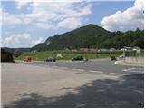 2
2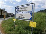 3
3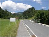 4
4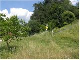 5
5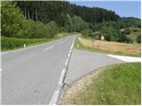 6
6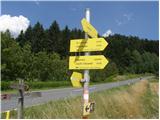 7
7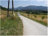 8
8 9
9 10
10 11
11 12
12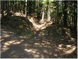 13
13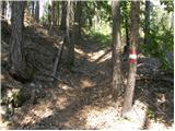 14
14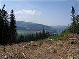 15
15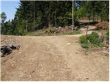 16
16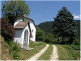 17
17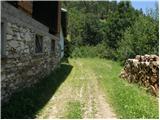 18
18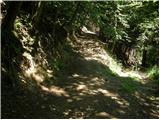 19
19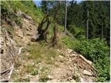 20
20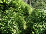 21
21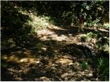 22
22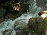 23
23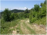 24
24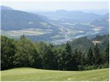 25
25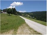 26
26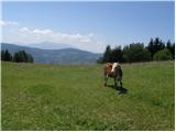 27
27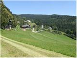 28
28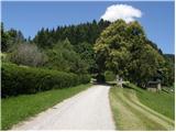 29
29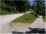 30
30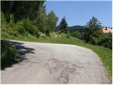 31
31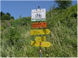 32
32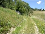 33
33 34
34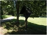 35
35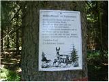 36
36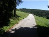 37
37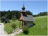 38
38 39
39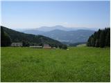 40
40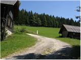 41
41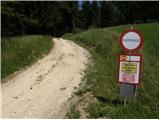 42
42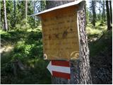 43
43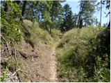 44
44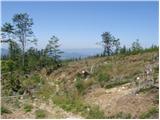 45
45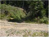 46
46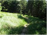 47
47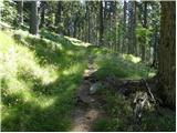 48
48 49
49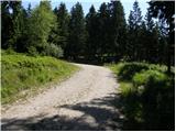 50
50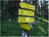 51
51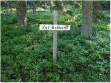 52
52 53
53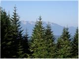 54
54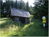 55
55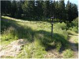 56
56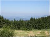 57
57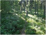 58
58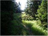 59
59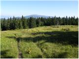 60
60 61
61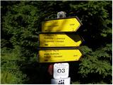 62
62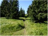 63
63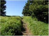 64
64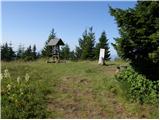 65
65 66
66