Starting point: Log (375 m)
Starting point Lat/Lon: 46.53435°N 15.5436°E 
Time of walking: 3 h 35 min
Difficulty: easy marked way
Difficulty of skiing: no data
Altitude difference: 971 m
Altitude difference (by path): 1020 m
Map: Pohorje 1:50.000
Access to starting point:
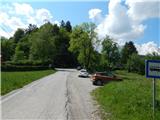
From the road Maribor - Ruše, in the settlement Bistrica ob Dravi we turn left (from the direction Ruše right) towards Log. Further, we drive through Log, and at the end of the settlement, at the crossroad of multiple roads, we park on an appropriate place by the bus stop.
We park the way we don't hinder the traffic and bus.
Path description:
From the starting point, we go on a slightly right road, by which there are trail blazes (left - road towards Pečke, right - part of the settlement Log). We are for a short time ascending on the road, and then before few houses we continue left into the forest, where we at first steeply ascend. Next follows a walk on a smaller ridge and then we step on the road, on which we continue few 10 strides, and then we go left into the forest, where the path continues. A little further, we once again cross the road, and then we start ascending steeper on an increasingly steep forested ridge. Higher, the path becomes very steep and on few minutes long section, mainly in wet it is also dangerous for slipping. Above the steepest part, the path gradually flattens and a little further brings us to a meadow, by the edge of which we continue. Follows few minutes of a moderate ascent and we get to the mountain hut Dom na Pečkah.
Behind the mountain hut, we step on the road, and we go on the path in the direction of Glažuta and Mariborska koča.
We continue on a cart track, over which there is a gate, and then by the shooting range blazes lead us into the forest, through which we are then ascending. After few minutes of the ascent, we go from the cart track slightly right (straight - Mariborska koča) and we are still ascending through the forest, where we follow the blazes. A little higher we cross a macadam road, and then at the next crossing, by older hiking signpost we go right towards the mountain hut Ruška koča. Further, we two more times cross the road, when we again reach it we continue right in the direction of Glažuta. Next follows some descent and crossing a ski slope, and after the ski slope after few minutes we leave the road and go slightly right on a cart track which runs parallel with the road, but a little lower. Also on the cart track we for some time cross the slopes, and when we leave the forest we moderately ascend and in few minutes of ascent on a partly grassy slope we reach Glažuta.
From Dom na Glažuti in few 10 strides we descend to the nearby crossroad, from where we go on the road in the direction of Areh (left - Mariborska koča, right - Ruše). On the road, we are ascending diagonally towards the right, when we get below the ski lift we leave the road and we continue on a marked route by the ski lift. The path ahead for quite some time leads below the ski lift, or by the ski lift, we continue all the way to the top of it, where we go slightly left to the nearby asphalt road which we reach near the hotel Areh.
Here we go left across the road on a macadam road (on the road ahead - Žigartov vrh and waterfall Šumik, right - Ruše) and in two minutes of additional walking, we get to Ruška koča na Arehu.
From the mountain hut, we return to an asphalt road, and then we continue on the road towards Šumik, Cojzerica and Žigartov vrh. At first the path also leads by large parking lot, and then the road goes into the forest and is lightly ascending. After approximately 10 minutes of additional walking, we get to a marked crossing, where the path branches off to the left towards the waterfall Šumik and Bajgot. We continue straight on a wider macadam road, and from which we go left about a minute ahead, because signs for Žigartov vrh point us to the left on a bad forest road, on which we ascend to the nearby ski slope. We continue by the edge of the ski slope, and higher the path goes slightly left and passes into the forest. We continue through the forest, where we follow the blazes, and such a path we follow all to a few minutes distant peak.
Log - Pečke 1:00, Pečke - Glažuta 1:20, Glažuta - Areh 0:45, Areh - Žigartov vrh 0:30.
Description and pictures refer to a condition in May 2022.
Pictures:
 1
1 2
2 3
3 4
4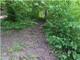 5
5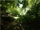 6
6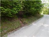 7
7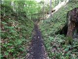 8
8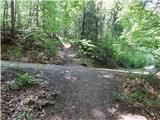 9
9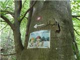 10
10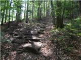 11
11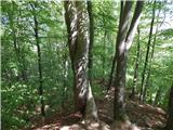 12
12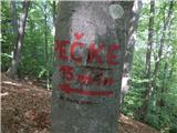 13
13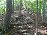 14
14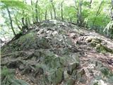 15
15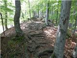 16
16 17
17 18
18 19
19 20
20 21
21 22
22 23
23 24
24 25
25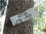 26
26 27
27 28
28 29
29 30
30 31
31 32
32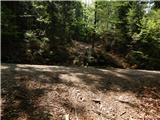 33
33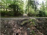 34
34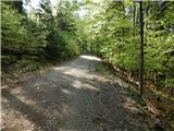 35
35 36
36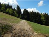 37
37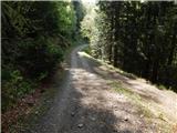 38
38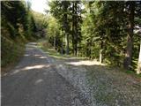 39
39 40
40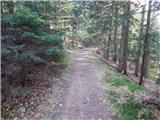 41
41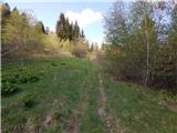 42
42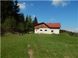 43
43 44
44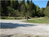 45
45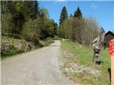 46
46 47
47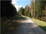 48
48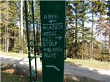 49
49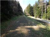 50
50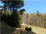 51
51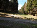 52
52 53
53 54
54 55
55 56
56 57
57 58
58 59
59 60
60 61
61 62
62 63
63 64
64 65
65 66
66 67
67 68
68 69
69 70
70 71
71 72
72 73
73 74
74 75
75 76
76 77
77 78
78