Starting point: Mašun (1022 m)
Starting point Lat/Lon: 45.62826°N 14.36613°E 
Time of walking: 4 h
Difficulty: easy marked way
Difficulty of skiing: no data
Altitude difference: 774 m
Altitude difference (by path): 840 m
Map: Snežnik 1:50.000
Access to starting point:
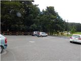
From Ilirska Bistrica or Pivka we drive to Knežak, and from there we follow the signs for Mašun. There follow a few kilometers of driving on a somewhat winding, but entirely asphalted road to Mašun. We park on the asphalted parking lot near the inn Mašun.
Path description:
From the parking lot, we walk to the nearby crossroad, from which we continue slightly right in the direction of European footpath E6 and Snežnik. At first, we still walk on an asphalt road, and the asphalt soon ends and we continue on a wider macadam road, on which we walk to a distinct left turn. At the turn, to which we need a little less than 20 minutes of walking, we go right on a marked cart track, and it quickly changes into a poorly beaten forest path, where we follow the blazes of European footpath. A little further, we reach the macadam road, on which we step right at the turning point, and from the turning point we go slightly left and we continue on a cart track which at first slightly descends, and then continues without large changes in altitude. At the smaller crossing, where a wider cart track turns slightly to the right, we go straight and then we reach another forest road which we follow to the left. There follow a few smaller crossroads, where we continue straight, when we reach a wider macadam road we follow it to the right in the direction of Snežnik and Sviščakov. The path ahead leads us still past the Škrli hut, at the marked crossroad, where the road sign for Snežnik and Sviščake directs to the right, we continue straight and follow the blazes. A few minutes further the signs for European footpath E6 direct us right onto a steeper cart track, on which we ascend through the forest. At the smaller crossing of cart tracks we go right, a little higher from the cart track slightly left onto a footpath, which soon reaches a macadam road. We follow the road to the left for a short time, then poorly visible signs direct us slightly right, where we ascend over a newer clearing. When we reach the road again we ascend along it through the left serpentine, at the abandoned bajta we go right onto a worse road, where we continue to follow the signs of path E6. At the nearby crossroad we go left once again, when the road turns sharply left we leave it and continue right on a marked path, which after a few minutes reaches the next road, which we follow to the right. There follows some moderate ascent on a macadam road, when we arrive at a crossing, where path E6 branches off to the left, and along the road the road continues toward Sviščaki, we continue left on the cart track following the signs of European footpath E6. The cart track soon changes into a steeper footpath, which ascends through the beech forest. When we reach the at first indistinct forested ridge of Mali Snežnik we join the path from Grda draga, where classic Knafelc blazes appear for the first time.
We continue in the direction of Snežnik and Mali Snežnik, this time on a somewhat steeper path, which leads us past a memorial. Above the memorial the first extensive view opens up, reaching across Nanos all the way to the Alps. Continuing, we ascend on a path which leads us through dwarf pines. When the steepness eases we arrive at the old stone of the trigonometric point, located on the summit, or a few steps below the summit of Mali Snežnik, from where a view opens onto Veliki Snežnik, Istria, Primorska, Notranjska...
From Mali Snežnik we continue on the path, which barely noticeably descends along the indistinct eastern ridge of Mali Snežnik. Continuing, the path passes to the western and very panoramic ridge of Veliki Snežnik, along which it continues mostly in gentle to occasionally moderate ascent. A little further Matetova pot joins us from the right, a little further the usual path from Sviščakov.
At both crossings we continue straight, then we ascend transversely up the steeper slope of Veliki Snežnik, which is dangerous for slipping in snow. After a few minutes we reach Zavetišče on Veliki Snežnik, in front of which we continue left and in a few steps ascend to the 1796 m high summit.
Description and pictures refer to the condition in September 2020.
On the way: Vrata (1024m), Mali Snežnik (1694m)
Pictures:
 1
1 2
2 3
3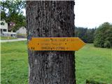 4
4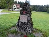 5
5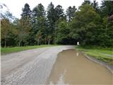 6
6 7
7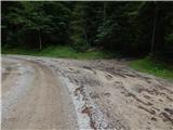 8
8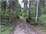 9
9 10
10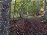 11
11 12
12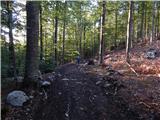 13
13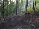 14
14 15
15 16
16 17
17 18
18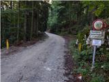 19
19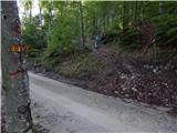 20
20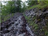 21
21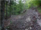 22
22 23
23 24
24 25
25 26
26 27
27 28
28 29
29 30
30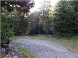 31
31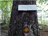 32
32 33
33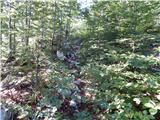 34
34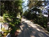 35
35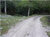 36
36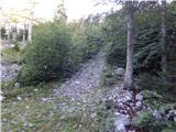 37
37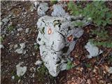 38
38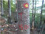 39
39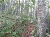 40
40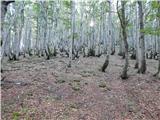 41
41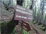 42
42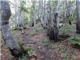 43
43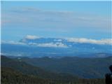 44
44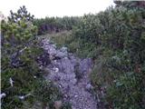 45
45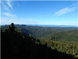 46
46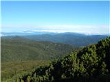 47
47 48
48 49
49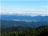 50
50 51
51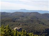 52
52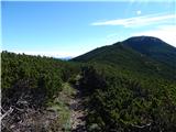 53
53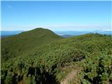 54
54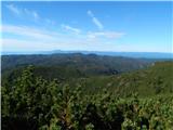 55
55 56
56 57
57 58
58 59
59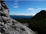 60
60 61
61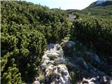 62
62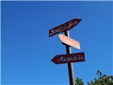 63
63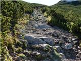 64
64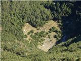 65
65 66
66 67
67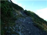 68
68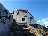 69
69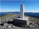 70
70 71
71