Občina - Sveti Vid (Vidovska planota)
Starting point: Občina (810 m)
Starting point Lat/Lon: 45.869°N 14.4173°E 
Time of walking: 1 h 30 min
Difficulty: easy marked way
Difficulty of skiing: no data
Altitude difference: 36 m
Altitude difference (by path): 115 m
Map: Snežnik 1:50.000
Access to starting point:
A) From the highway Ljubljana - Koper, take the Brezovica exit, then continue driving in the direction of Podpeči (to Podpeči you can also come from Črna vas or Ig). In Podpeči continue in the direction of Borovnica, Krim and Rakitna and continue driving for a short time along the edge of the Ljubljana Marshes, then signs for Rakitna direct us left onto a steep ascending road. The road then leads us through Preserje, where it also starts descending. After a short descent, continue left in the direction of Krim and Rakitna, we then follow the mostly ascending road to Rakitna and from there towards Cerknica. Further on we drive a few kilometres through the forest, then we arrive at a marked crossroad, where the road branches off to the left towards Zahrib, Sveti Vid and Osredek. Park on a suitable place by the road (in winter we will hardly find a suitable parking spot).
B) From the highway Koper - Ljubljana, take the Unec exit and follow the road ahead in the direction of Cerknica. Just a little before Cerknica continue left in the direction of Begunje, when we arrive in Begunje follow the signs for Rakitna. Further on the road starts ascending, and we follow it to the settlement and the saddle Pikovnik. From the saddle onwards the road starts descending, and we drive along it for approximately 500 m, then we arrive at a marked crossroad, where the road branches off to the right towards Zahrib, Sveti Vid and Osredek. Park on a suitable place by the road (in winter we will hardly find a suitable parking spot).
C) First drive to Cerknica, then continue driving in the direction of Begunje, when we arrive in Begunje follow the signs for Rakitna. Further on the road starts ascending, and we follow it to the settlement and the saddle Pikovnik. From the saddle onwards the road starts descending, and we drive along it for approximately 500 m, then we arrive at a marked crossroad, where the road branches off to the right towards Zahrib, Sveti Vid and Osredek. Park on a suitable place by the road (in winter we will hardly find a suitable parking spot).
Path description:
From the crossroad we continue on the macadam road in the direction of Osredek and Sveti Vid, which first leads us close to the stream Rakiški graben. The road then continues through the forest, only under the power line does it temporarily end. The winding road then starts to ascend gently and after a few kilometres of walking brings us to the place where we join the road Župeno - Sveti Vid.
When we reach the mentioned road we continue straight ahead, and along it we quickly arrive at the village Korošče.
On the other side of the village the road rises slightly for a while, then levels out and slowly starts turning more to the left. During this a view already opens towards the church of St. Vid and the eponymous village. Just before the village we join another slightly wider road, which we follow to the left, ascending along it to the fire station and church.
On the way: Korošče (827m)
Pictures:
 1
1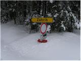 2
2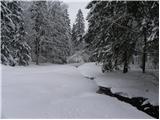 3
3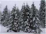 4
4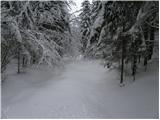 5
5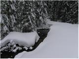 6
6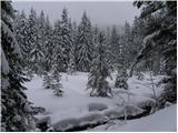 7
7 8
8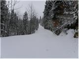 9
9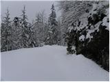 10
10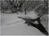 11
11 12
12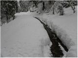 13
13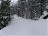 14
14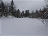 15
15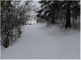 16
16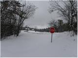 17
17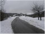 18
18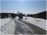 19
19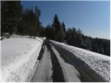 20
20 21
21 22
22 23
23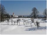 24
24 25
25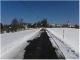 26
26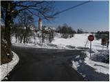 27
27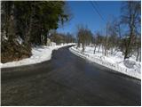 28
28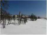 29
29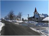 30
30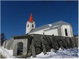 31
31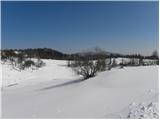 32
32