Passo Staulanza - Rifugio Venezia
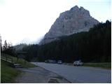
Starting point: Passo Staulanza (1766 m)
Starting point Lat/Lon: 46.4206°N 12.10467°E 
Time of walking: 2 h 30 min
Difficulty: easy marked way
Difficulty of skiing: no data
Altitude difference: 180 m
Altitude difference (by path): 300 m
Map: Tabacco 25 1:25.000
Access to starting point:
Over the border crossing Rateče we drive to Trbiž / Tarvisio, where we go on a highway in the direction of Videm / Udine. We leave the highway at exit Tolmezzo and we follow the road to the mentioned settlement. From Tolmezzo we continue in the direction of the settlement Ampezzo and mountain pass Passo della Mauria. The road then starts descending and brings us in the valley Cadore, where we continue left towards Cortina d'Ampezzo. Further, we follow the signs for Cortina d'Ampezzo to the settlement Venas di Cadore. A little before the end of the mentioned settlement we turn left towards the settlement Forno di Zoldo. The road then through the mountain pass Cibiana brings us in the valley Val di Zoldo, where we continue right towards the mountain pass Staulanza. Then we follow an ascending road all the way to mountain pass Staulanza.
Path description:
On the mountain pass Passo Staulanza we go towards the southeast following the signs »Rif. Venezia, Orme di Dinosauro«. After a short ascent through the forest we come to a crossing, where we continue right, left leads the path which runs on the northern side of Monte Pelmo towards the notch Forada.
The path further continues to run through the forest and crosses slopes on the west side of Monte Pelmo. The path is slightly ascending and descendig here and occasionally also runs on a swampy terrain and it is often muddy. From the right side then the path from camp Pala Favera joins us and we continue crossing slopes towards the southeast. Further, the path runs mostly through dwarf pines and it brings us to a marked crossing.
To the left upwards leads the path to below the mountain walls of Pelmetto, where on a bigger boulder are visible traces of dinosaurs, we still continue straight by following the signs Rifugio Venezia. From the right side, the other path from Pala Favera joins, after that our path slowly turns left and it brings us on the south slopes below Monte Pelmo. In the last part towards the mountain hut path brings us on grassy slopes and soon we will notice the hut in front of us. Shortly before the hut, there is a crossing, where the path to Monte Pena branches off to the right. From the crossing, only a short ascent follows and we reach the hut.
On the way: Passo di Rutorto (1931m)
Pictures:
 1
1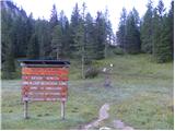 2
2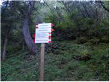 3
3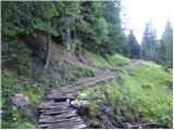 4
4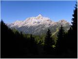 5
5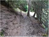 6
6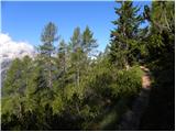 7
7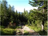 8
8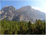 9
9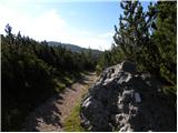 10
10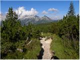 11
11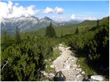 12
12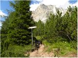 13
13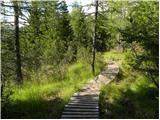 14
14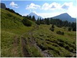 15
15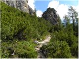 16
16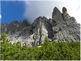 17
17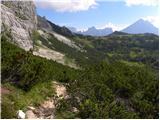 18
18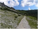 19
19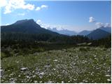 20
20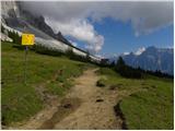 21
21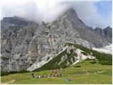 22
22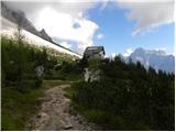 23
23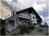 24
24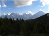 25
25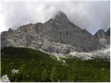 26
26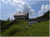 27
27