Plave - Kuk above Paljevo (via Prižnica)
Starting point: Plave (85 m)
Starting point Lat/Lon: 46.0401°N 13.5907°E 
Path name: via Prižnica
Time of walking: 2 h 5 min
Difficulty: easy unmarked way
Difficulty of skiing: no data
Altitude difference: 527 m
Altitude difference (by path): 630 m
Map: Goriška - izletniška karta 1:50.000
Access to starting point:
A) First, we drive to Nova Gorica, and then we continue driving in the direction of Bovec and Tolmin. Further, we drive through the valley of the Soča River along the main road to the settlement of Plave, where, at the crossroad where the road to Paljevo branches off to the right, the described path begins. Because there are no arranged parking spots at the starting point, we have to park somewhere else, preferably at some suitable place along the road before or after the settlement, or on the other side of the Soča River near the little church or somewhere on the edge of the village.
B) We drive to the settlement of Most na Soči, and from there we drive towards Nova Gorica. When we arrive at the settlement of Plave, or at the crossroad where the road towards the settlement of Paljevo branches off to the left, we are at the beginning of the described path. Because there are no arranged parking spots at the starting point, we have to park somewhere else, preferably at some suitable place along the road before or after the settlement, or on the other side of the Soča River near the little church or somewhere on the edge of the village.
Path description:
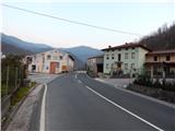
From the settlement Plave we continue on the asphalt road in the direction of Paljevo. The path first leads past a few houses, and then quickly brings us to the left hairpin turn, where on a smaller building there is a NOB monument. We continue on the quite panoramic road, which past the bench brings us to the right hairpin turn, where straight ahead continues the footpath to Prižnica (elevation 383).
We continue straight on the cart track (still on the Paljevo road), which for a short time continues without major changes in elevation, then shortly after crossing the power line route, the path turns slightly to the right and begins to ascend transversely. During the transverse ascent we arrive at a smaller junction, where we leave the cart track and continue right on the forest path. The path further continues through the forest and occasionally ascends quite steeply. During the ascent through the forest we are accompanied by numerous remains of the First World War (ruins, caverns, trenches...), which are now equipped with information boards (at the time of the description under construction). Higher up, the path levels out and brings us to the vegetated summit of Prižnica, where next to the information board there is also a pleasant bench for resting.
From the top of Prižnica the path begins to descend, occasionally more steeply, but still leads us past several caverns. Somewhat lower, at a smaller junction we continue straight, then the path levels out and brings us to a gently sloping ridge. Along the mentioned forested ridge, then in a few minutes of gentle ascent, we arrive at the church of St. Kvirin.
At the church we step onto the road, along which we begin to descend gradually. First, the path from the settlement Deskle joins from the left, a little further an asphalt road branches off to the left towards the hunting lodge LD Anhovo at Paljevo.
Here too we continue straight, then at the first crossroad near the small hamlet we continue left in the direction of Sveta Gora. The asphalt road, which turns right after a few meters, changes into macadam, which after a few minutes of transverse ascent brings us to the junction with the described path from Plave via Paljevo.
Immediately after the roads join, they split again at the information board. We continue on the right road, which then mostly ascends gently to moderately along the northwestern slopes of Kuk. Somewhat higher, at a smaller crossroad we continue straight, then along a slightly steeper road we continue all the way to the marked crossroad located south of Kuk.
From the marked crossroad we continue sharply right in the direction of Kuk (straight to Vodice and Sveta Gora, right to Zagora), along the path that ascends transversely through the forest. The moderately steep path higher up levels out completely and approaches the top of Kuk. At this point we can continue left off-path, along which we ascend to the forested Kuk in a minute, or otherwise continue straight along the nicely traceable little path, from which soon a nice view opens to the right. A few minutes of easy walking follow, then we arrive from the forest onto the grassy viewpoint and take-off site of Kuk, where there is also a small emergency shelter.
The description and pictures refer to the condition in 2015 (March).
Pictures:
 1
1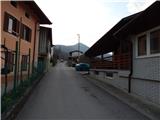 2
2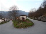 3
3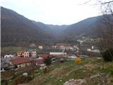 4
4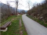 5
5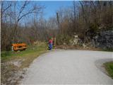 6
6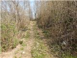 7
7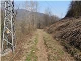 8
8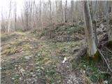 9
9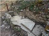 10
10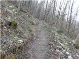 11
11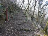 12
12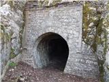 13
13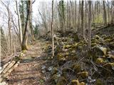 14
14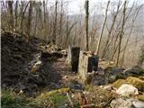 15
15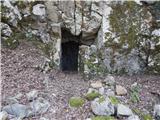 16
16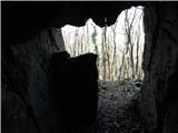 17
17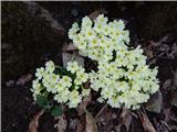 18
18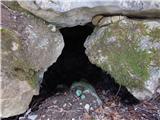 19
19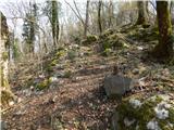 20
20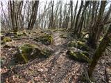 21
21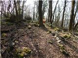 22
22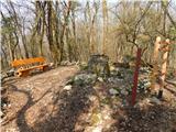 23
23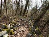 24
24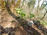 25
25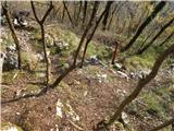 26
26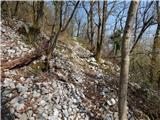 27
27 28
28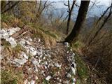 29
29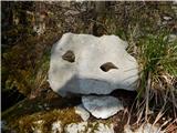 30
30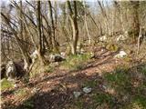 31
31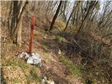 32
32 33
33 34
34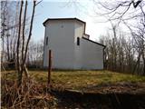 35
35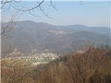 36
36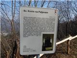 37
37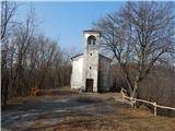 38
38 39
39 40
40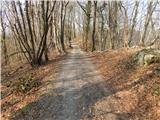 41
41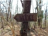 42
42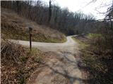 43
43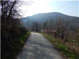 44
44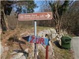 45
45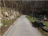 46
46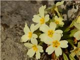 47
47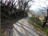 48
48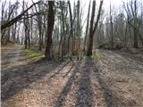 49
49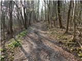 50
50 51
51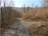 52
52 53
53 54
54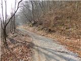 55
55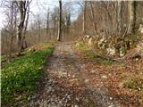 56
56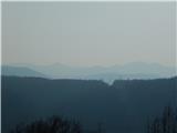 57
57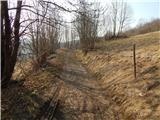 58
58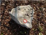 59
59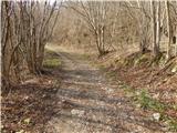 60
60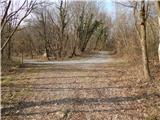 61
61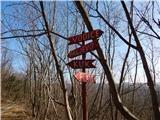 62
62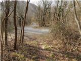 63
63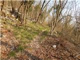 64
64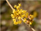 65
65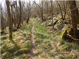 66
66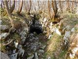 67
67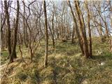 68
68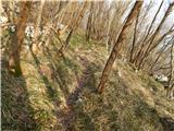 69
69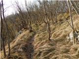 70
70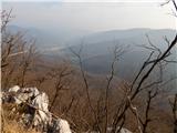 71
71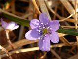 72
72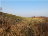 73
73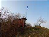 74
74 75
75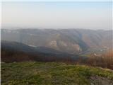 76
76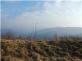 77
77