Podkraj - Javornik above Črni vrh
Starting point: Podkraj (798 m)
Starting point Lat/Lon: 45.8639°N 14.063°E 
Time of walking: 2 h 30 min
Difficulty: easy marked way
Difficulty of skiing: no data
Altitude difference: 442 m
Altitude difference (by path): 550 m
Map: Nanos 1:50.000
Access to starting point:
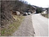
From Logatec we drive towards Idrija. Only a little after the village Kalce we will notice a road which goes left in the direction of village Podkraj and Col. We go on this quite winding road and we follow it to the village Podkraj. We park on a smaller parking lot by the road right next to sign for the end of the village Podkraj (by parking lot are also hiking signposts).
From Primorska we at first drive to Col, and then we continue driving in the direction of village Podkraj. When the road brings us to the beginning of the village we don't continue right in the village, but we continue on the left upper road which bypasses the center of the village. Near the sign for the beginning Podkraj we park on a smaller parking lot by the road.
Path description:
From the starting point, we go on an ascending cart track in the direction of Sveti Duh and Javornik. Cart track already after few steps turns to the right and then it is ascending diagonally through a grassy slope. Higher, we pass into a short lane of a forest, after which the path brings us to a marked crossing, where we continue right in the direction of Javornik (left Sveti Duh and Križna gora). The path ahead is ascending gently by the edge of the forest and then it brings us to the cottage Izakova koča (smaller emergency bivouac), which is located a little left from the path.
A little above the bivouac we come to a crossing of several cart tracks. We continue straight (direction Javornik) on a partly rocky cart track and we follow it few minutes, after that at a smaller crossing (marked) we continue slightly right on a grassy cart track which leads us past old military bunker. We bypass the bunker on the left side, and then the path brings us by the edge of a grazing fence. We for some time continue by the grazing fence, and then we get to an orientational problem. The path turns right downwards, basically in the direction from which we came from, and after a short descent left in the forest. Ahead we pass into a dense forest and we are for some time moderately ascending on a quite overgrown cart track. Next follows a short descent and the path brings us to a macadam road which we follow to the left. The road soon comes out of the forest on ample grassy slopes, in the middle of which we come to a marked crossing.
We continue right in the direction of Javornik, on a footpath which at first gently ascends past a smaller religious symbol on a tree, and then it starts ascending steeper on a relatively panoramic grassy slopes. Higher, the path flattens and brings us on a bigger plain, south from Streliški vrh. We continue slightly left, on a marked footpath which descends to a smaller torrent, after which we run into a pleasant bench. Next follows traversing of the eastern slopes of an already mentioned summit, and then the path brings us to a smaller saddle, where on the right side we notice a bigger hunting observatory.
Here on a saddle is marked crossing, where the path branches off to the left on Streliški vrh, and we continue straight downwards in the direction of Javornik. The path goes immediately into a dense forest, and at the descent we carefully follow the blazes, so that in numerous crossings we don't miss the right path. Lower, the path flattens and after few minutes of additional walking brings us to a macadam road which we follow right upwards. After a short ascent, we come to the crossroad of multiple roads, and we continue left towards Javornik. The road further is for some time still ascending through the forest and then it flattens and it brings us on a panoramic slope. After that, the path crosses a short lane of a forest and then it brings us to a smaller crossroad, where the road branches off to the right towards Ski cottage Javornik. We continue here on left bottom road, on which we quickly get to an abandoned house. Just before the house, signpost point us to the right on a footpath, on which in few minutes we ascend to the cottage Pirnatova koča on Javornik.
From the cottage, we walk to the nearby signposts, and then we go on the path towards Javornik and the tower. After few ten meters of walking, the path goes into the forest, where it moderately ascends. When we come out of the forest we cross a shorter panoramic slope, after that only a little below the summit, the path goes again in the forest. A gentle ascent follows through the forest and the path brings us to the peak on which we notice a lookout tower. If we have a desire for a view, on our own responsibility we ascend also on the top of the tower, from which a nice view opens up.
Pictures:
 1
1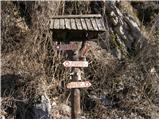 2
2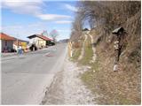 3
3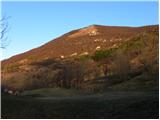 4
4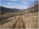 5
5 6
6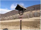 7
7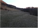 8
8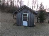 9
9 10
10 11
11 12
12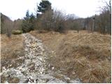 13
13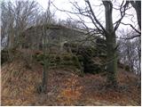 14
14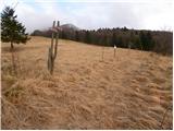 15
15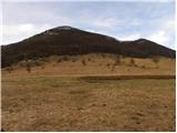 16
16 17
17 18
18 19
19 20
20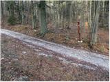 21
21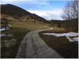 22
22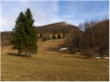 23
23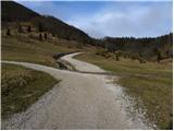 24
24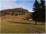 25
25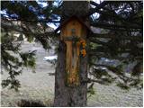 26
26 27
27 28
28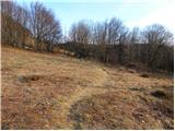 29
29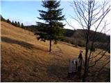 30
30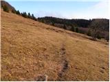 31
31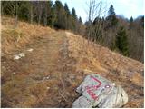 32
32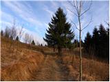 33
33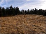 34
34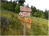 35
35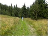 36
36 37
37 38
38 39
39 40
40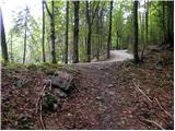 41
41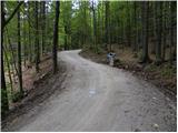 42
42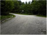 43
43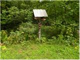 44
44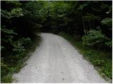 45
45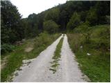 46
46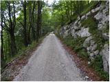 47
47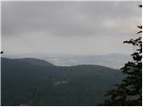 48
48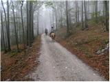 49
49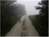 50
50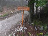 51
51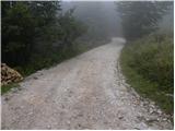 52
52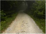 53
53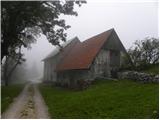 54
54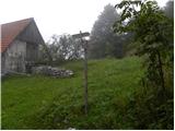 55
55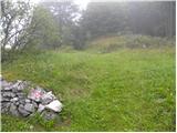 56
56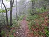 57
57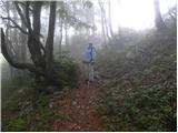 58
58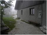 59
59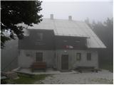 60
60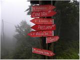 61
61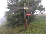 62
62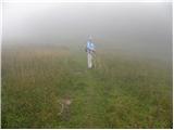 63
63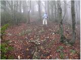 64
64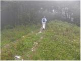 65
65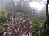 66
66 67
67