Pri Žagi (Javorniški Rovt) - Mala Boncla (Bavha)
Starting point: Pri Žagi (Javorniški Rovt) (885 m)
Starting point Lat/Lon: 46.4539°N 14.0975°E 
Time of walking: 30 min
Difficulty: easy unmarked way
Difficulty of skiing: easily
Altitude difference: 246 m
Altitude difference (by path): 246 m
Map: Karavanke - osrednji del 1:50.000
Access to starting point:
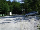
From highway Ljubljana - Jesenice we go to the exit Lipce, and in the direction to the right we drive towards Jesenice. In the settlement Javornik at the first traffic light crossroad we drive right (direction Lj.) towards Koroška bela. At the next crossroad with a traffic lights we turn left, and soon once again left towards Javorniški Rovt. After few kilometers of driving uphill (when we already got to in the mentioned village), in sharp the left turn macadam road towards the mountain hut Dom Trilobit branches off straight (a sign). Right before that spot on the right we notice a smaller parking lot, where there is our starting point.
Path description:
From the starting point, we continue few meters on a macadam, whereupon we run into marked signposts with signs Valvazor and Gajškova pot. Here we go right, but we don't continue by following the blazes (right over the bridge), but on the cart track straight uphill. We soon get to the next bridge, where we cross the stream and the path (cart track) turns left uphill. Further 15 min of walking, we follow the main cart track which means, that we ignore three right turn-offs of cart track. On the left side of the path, we will twice notice the sign "Dom Trilobit".
Only, when the path ascends a little steeper, we run into a crossing of a cart track, where we go right (left the path on the mountain pasture Stamare). Cart track is now turning more and more right and at first steeply ascends, then for a short time flattens, and once again ascends a little towards (forested) saddle between the both peaks of Boncla. And still before the path before that spot again flattens, from there we turn right, on less noticeable footpath which leads west on the ridge of Mala Boncla. When we step there, partly gravel and with roots of trees vegetated path quickly brings us to first steel cable. Here the ascent ends. Next follows also the second steel cable, which serves as a fence. Here, on the top we will run into an interesting, standing, dried tree.
Pictures:
 1
1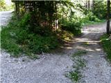 2
2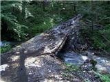 3
3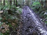 4
4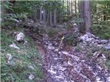 5
5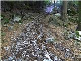 6
6 7
7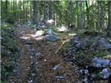 8
8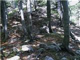 9
9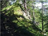 10
10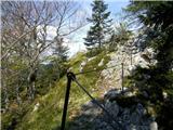 11
11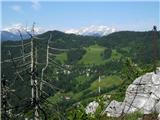 12
12 13
13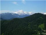 14
14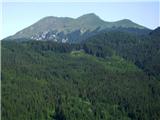 15
15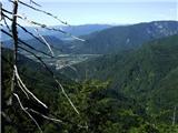 16
16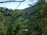 17
17